Estimated Value: $234,000 - $358,132
2
Beds
--
Bath
1,456
Sq Ft
$189/Sq Ft
Est. Value
About This Home
This home is located at 33978 Mineral Place, Macon, MO 63552 and is currently estimated at $275,711, approximately $189 per square foot. 33978 Mineral Place is a home with nearby schools including Macon Elementary School, Family Literacy Center, and Macon Middle School.
Create a Home Valuation Report for This Property
The Home Valuation Report is an in-depth analysis detailing your home's value as well as a comparison with similar homes in the area
Home Values in the Area
Average Home Value in this Area
Tax History Compared to Growth
Tax History
| Year | Tax Paid | Tax Assessment Tax Assessment Total Assessment is a certain percentage of the fair market value that is determined by local assessors to be the total taxable value of land and additions on the property. | Land | Improvement |
|---|---|---|---|---|
| 2025 | $1,386 | $29,800 | $3,000 | $26,800 |
| 2024 | $1,386 | $26,860 | $0 | $0 |
| 2023 | $1,380 | $26,860 | $0 | $0 |
| 2022 | $1,324 | $26,860 | $0 | $0 |
| 2021 | $1,318 | $25,820 | $0 | $0 |
| 2020 | $1,324 | $25,820 | $0 | $0 |
| 2019 | $1,320 | $25,820 | $25,820 | $0 |
| 2018 | $1,266 | $25,820 | $25,820 | $0 |
| 2017 | $1,169 | $142,340 | $21,670 | $120,670 |
| 2016 | $1,137 | $25,860 | $0 | $0 |
| 2015 | -- | $25,020 | $0 | $0 |
| 2014 | -- | $24,620 | $0 | $0 |
| 2012 | -- | $24,620 | $0 | $0 |
Source: Public Records
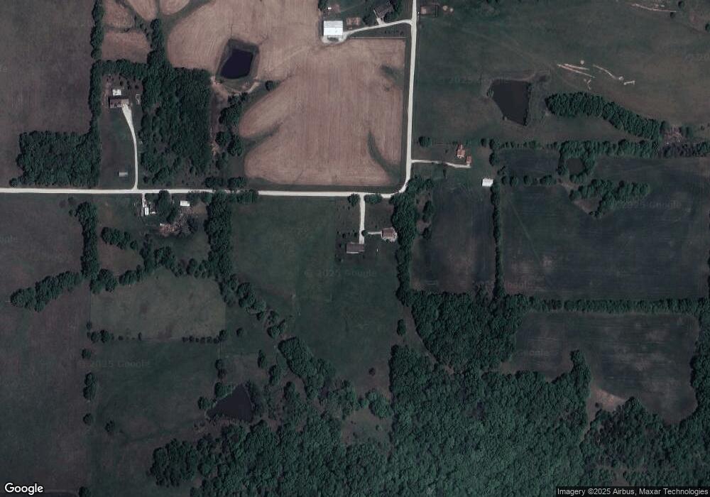
Map
Nearby Homes
- 33019 Lake St
- 0 Cher Ct
- 1419 Rosewood Terrace
- 1410 E Briggs Dr
- 1604 Sherwood Dr
- 000 U S 36 Business
- 31822 Lochs Place
- 1006 Crestview Dr
- 902 Lawndale Dr
- 804 Maple Ln
- 1008 Walnut St
- 0 State Highway Pp
- 801 Overbrook Dr
- 1201 Maffry Ave
- 1105 Maffry Ave
- 305 Jefferson St
- 902 Jackson St
- 510 Jackson St
- 302 Jackson St
- 28934 Northern Dr
- 33796 Mineral Place
- 29396 Lariat Ave
- 33775 Mineral Place
- 34001 Us Highway 36
- 34008 Mineral Place
- 29556 Lariat Ave
- 29023 Lariat Ave
- 29571 Lariat Ave
- 34039 Mineral Place
- 28815 Lariat Ave
- 34087 Mineral Place
- 28795 Lariat Ave
- 34379 Us Highway 36
- 28642 Lariat Ave
- 30056 Liberty Park Place
- 30075 Liberty Park Place
- 33413 Bus Route 36 E
- 30126 Liberty Park Place
- 30186 Liberty Park Place
- 30155 Liberty Park Place