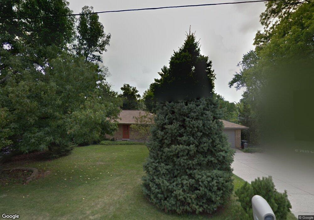
3399 Banning Rd Cincinnati, OH 45239
Estimated Value: $286,000 - $336,000
3
Beds
3
Baths
2,279
Sq Ft
$133/Sq Ft
Est. Value
About This Home
This home is located at 3399 Banning Rd, Cincinnati, OH 45239 and is currently estimated at $303,231, approximately $133 per square foot. 3399 Banning Rd is a home located in Hamilton County with nearby schools including White Oak Middle School, Colerain High School, and Cincinnati Achievement Academy.
Ownership History
Date
Name
Owned For
Owner Type
Purchase Details
Closed on
Oct 23, 2003
Sold by
Hausfeld Peggy S and Hausfeld Matthew J
Bought by
Schrand Joseph G and Cooksey Schrand Cynthia L
Current Estimated Value
Home Financials for this Owner
Home Financials are based on the most recent Mortgage that was taken out on this home.
Original Mortgage
$126,400
Interest Rate
6.02%
Mortgage Type
Balloon
Create a Home Valuation Report for This Property
The Home Valuation Report is an in-depth analysis detailing your home's value as well as a comparison with similar homes in the area
Home Values in the Area
Average Home Value in this Area
Purchase History
| Date | Buyer | Sale Price | Title Company |
|---|---|---|---|
| Schrand Joseph G | $158,000 | -- |
Source: Public Records
Mortgage History
| Date | Status | Borrower | Loan Amount |
|---|---|---|---|
| Closed | Schrand Joseph G | $126,400 |
Source: Public Records
Tax History Compared to Growth
Tax History
| Year | Tax Paid | Tax Assessment Tax Assessment Total Assessment is a certain percentage of the fair market value that is determined by local assessors to be the total taxable value of land and additions on the property. | Land | Improvement |
|---|---|---|---|---|
| 2024 | $4,111 | $76,951 | $13,293 | $63,658 |
| 2023 | $4,136 | $76,951 | $13,293 | $63,658 |
| 2022 | $3,644 | $55,283 | $12,551 | $42,732 |
| 2021 | $3,612 | $55,283 | $12,551 | $42,732 |
| 2020 | $3,650 | $55,283 | $12,551 | $42,732 |
| 2019 | $3,315 | $46,852 | $10,637 | $36,215 |
| 2018 | $2,974 | $46,852 | $10,637 | $36,215 |
| 2017 | $2,817 | $46,852 | $10,637 | $36,215 |
| 2016 | $2,869 | $47,100 | $10,689 | $36,411 |
| 2015 | $2,897 | $47,100 | $10,689 | $36,411 |
| 2014 | $2,902 | $47,100 | $10,689 | $36,411 |
| 2013 | $2,907 | $49,578 | $11,253 | $38,325 |
Source: Public Records
Map
Nearby Homes
- 6893 Newbridge Dr
- 7320 Locust View Ln
- 3442 Lapland Dr
- 3329 Alexis Rd
- 7448 Locust View Ln
- 3387 Lapland Dr
- 3250 March Terrace
- 3335 Lapland Dr
- 3219 Banning Rd
- 3611 Benhill Dr
- 3397 Nandale Dr
- 3326 Blueacres Dr
- 6715 Cheviot Rd
- 3279 Rockacres Ct
- 6195 Seiler Dr
- 3369 W Galbraith Rd
- 3041 Preserve Ln
- 6103 Seiler Dr
- 3225 Crimson Ln
- 7909 Cheviot Rd
- 3389 Banning Rd
- 3411 Banning Rd
- 3381 Banning Rd
- 3421 Banning Rd
- 7215 Locust View Ln
- 3400 Melodymanor Dr
- 7216 Locust View Ln
- 3394 Melodymanor Dr
- 3408 Melodymanor Dr
- 3386 Melodymanor Dr
- 7075 Newbridge Dr
- 7099 Newbridge Dr
- 3416 Melodymanor Dr
- 7051 Newbridge Dr
- 7228 Locust View Ln
- 3428 Banning Rd
- 3433 Banning Rd
- 3370 Melodymanor Dr
- 7235 Locust View Ln
- 7098 Newbridge Dr