33B Stonecleave Rd Boxford, MA 01921
Estimated Value: $1,018,326 - $1,338,000
4
Beds
3
Baths
3,240
Sq Ft
$367/Sq Ft
Est. Value
About This Home
This home is located at 33B Stonecleave Rd, Boxford, MA 01921 and is currently estimated at $1,190,582, approximately $367 per square foot. 33B Stonecleave Rd is a home located in Essex County with nearby schools including Harry Lee Cole and Spofford Pond School.
Ownership History
Date
Name
Owned For
Owner Type
Purchase Details
Closed on
Jun 9, 2003
Sold by
Novack Lisa A and Novack Scott D
Bought by
Novack Lisa A
Current Estimated Value
Purchase Details
Closed on
Nov 20, 1998
Sold by
Pentland William and Pentland Heather
Bought by
Novack Scott D and Novak Lisa A
Home Financials for this Owner
Home Financials are based on the most recent Mortgage that was taken out on this home.
Original Mortgage
$259,920
Interest Rate
6.49%
Mortgage Type
Purchase Money Mortgage
Create a Home Valuation Report for This Property
The Home Valuation Report is an in-depth analysis detailing your home's value as well as a comparison with similar homes in the area
Home Values in the Area
Average Home Value in this Area
Purchase History
| Date | Buyer | Sale Price | Title Company |
|---|---|---|---|
| Novack Lisa A | -- | -- | |
| Novack Scott D | $324,900 | -- |
Source: Public Records
Mortgage History
| Date | Status | Borrower | Loan Amount |
|---|---|---|---|
| Open | Novack Scott D | $221,713 | |
| Previous Owner | Novack Scott D | $259,920 |
Source: Public Records
Tax History
| Year | Tax Paid | Tax Assessment Tax Assessment Total Assessment is a certain percentage of the fair market value that is determined by local assessors to be the total taxable value of land and additions on the property. | Land | Improvement |
|---|---|---|---|---|
| 2025 | $12,227 | $909,100 | $422,200 | $486,900 |
| 2024 | $11,864 | $909,100 | $422,200 | $486,900 |
| 2023 | $11,107 | $802,500 | $377,100 | $425,400 |
| 2022 | $10,841 | $712,300 | $314,800 | $397,500 |
| 2021 | $10,344 | $646,100 | $286,500 | $359,600 |
| 2020 | $10,121 | $625,900 | $286,500 | $339,400 |
| 2019 | $9,924 | $609,600 | $272,800 | $336,800 |
| 2018 | $9,242 | $570,500 | $272,800 | $297,700 |
| 2017 | $9,013 | $552,600 | $260,000 | $292,600 |
| 2016 | $9,053 | $550,000 | $260,000 | $290,000 |
| 2015 | $8,574 | $536,200 | $260,000 | $276,200 |
Source: Public Records
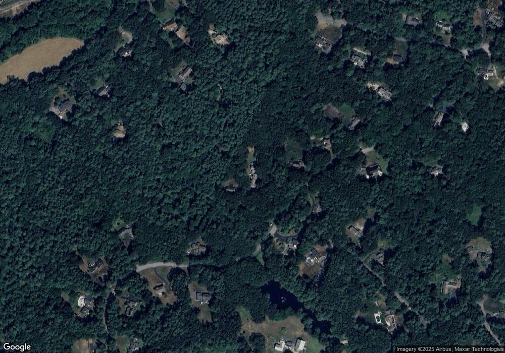
Map
Nearby Homes
- Lot 2 (31) Lawrence Rd
- 94 Lawrence Rd
- 85 Townsend Farm Rd
- 626 Forest St
- 851 Forest St
- Lot 10 Stonecleave Rd
- 590 Foster St
- 122 Forest St
- 94 Boxford St
- 50 Boxford St
- 24 Appleton Ln
- 534 Ipswich Rd
- 37 Moonpenny Dr
- 224 Raleigh Tavern Ln
- 49 Windsor Ln
- 427b Ipswich Rd
- 53 Woodcrest Rd
- 20-B Wildmeadow Rd
- 34 Wildmeadow Rd
- 66 Compass Point Unit 66
- 33 Stonecleave Rd
- 43 Stonecleave Rd
- 20 Stonecleave Rd
- 18 Hollow Tree Rd
- 21 Stonecleave Rd
- 17 Hollow Tree Rd
- 14 Hollow Tree Rd
- 44 Stonecleave Rd
- 46 Stonecleave Rd
- 19 Stonecleave Rd
- 47 Stonecleave Rd
- 13 Hollow Tree Rd
- 14 Stonecleave Rd
- 55 Towne Rd
- 46 Brookview Rd
- 13 Stonecleave Rd
- 11 Hollow Tree Rd
- 34 Brookview Rd
- 51 Stonecleave Rd
- 56 Stonecleave Rd
Your Personal Tour Guide
Ask me questions while you tour the home.