33E Andrews Farm Rd Boxford, MA 01921
Estimated Value: $569,080 - $690,000
2
Beds
2
Baths
1,159
Sq Ft
$529/Sq Ft
Est. Value
About This Home
This home is located at 33E Andrews Farm Rd, Boxford, MA 01921 and is currently estimated at $613,520, approximately $529 per square foot. 33E Andrews Farm Rd is a home located in Essex County with nearby schools including Harry Lee Cole and Spofford Pond School.
Ownership History
Date
Name
Owned For
Owner Type
Purchase Details
Closed on
Dec 2, 1997
Sold by
Ricci Rudolph C and Ricci Kathleen C
Bought by
Morales Javier G and Morales Cheryl E
Current Estimated Value
Purchase Details
Closed on
Jun 16, 1993
Sold by
Andrews Farm Bldg Corp
Bought by
Ricci Rudolph C and Ricci Kathleen
Create a Home Valuation Report for This Property
The Home Valuation Report is an in-depth analysis detailing your home's value as well as a comparison with similar homes in the area
Home Values in the Area
Average Home Value in this Area
Purchase History
| Date | Buyer | Sale Price | Title Company |
|---|---|---|---|
| Morales Javier G | $170,000 | -- | |
| Ricci Rudolph C | $153,800 | -- |
Source: Public Records
Mortgage History
| Date | Status | Borrower | Loan Amount |
|---|---|---|---|
| Open | Ricci Rudolph C | $222,000 | |
| Closed | Ricci Rudolph C | $240,000 | |
| Closed | Ricci Rudolph C | $218,000 |
Source: Public Records
Tax History Compared to Growth
Tax History
| Year | Tax Paid | Tax Assessment Tax Assessment Total Assessment is a certain percentage of the fair market value that is determined by local assessors to be the total taxable value of land and additions on the property. | Land | Improvement |
|---|---|---|---|---|
| 2025 | $6,923 | $514,700 | $281,600 | $233,100 |
| 2024 | $6,579 | $504,100 | $281,600 | $222,500 |
| 2023 | $6,152 | $444,500 | $251,400 | $193,100 |
| 2022 | $5,959 | $391,500 | $209,500 | $182,000 |
| 2021 | $5,985 | $373,800 | $190,500 | $183,300 |
| 2020 | $5,842 | $361,300 | $190,500 | $170,800 |
| 2019 | $5,418 | $332,800 | $181,400 | $151,400 |
| 2018 | $5,139 | $317,200 | $181,400 | $135,800 |
| 2017 | $4,880 | $299,200 | $172,800 | $126,400 |
| 2016 | $4,815 | $292,500 | $172,800 | $119,700 |
| 2015 | $4,565 | $285,500 | $172,800 | $112,700 |
Source: Public Records
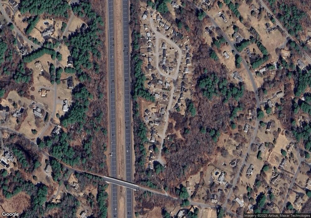
Map
Nearby Homes
- 28 Andrews Farm Rd
- 9 Andrews Farm Rd
- 10 Haymeadow Rd
- 4 Wildmeadow Rd
- 34 Wildmeadow Rd
- 20-B Wildmeadow Rd
- 40 Dana Rd
- 37 Moonpenny Dr
- 76 Parsonage Ln
- 26 Cross Rd
- 16 Janes Rd
- 88 Haverhill Rd
- 8 Mansion Dr
- 14 Alderbrook Dr
- 28 Janes Rd
- 34 Great Hill Dr Unit 34
- 10 Walker Rd
- 14 Pond St
- 34 Roberts Rd
- 3 Ipswich Rd
- 33B Andrews Farm Rd
- 33D Andrews Farm Rd
- 33 Andrews Farm Rd Unit D
- 33 Andrews Farm Rd
- 33C Andrews Farm Rd
- 31 Andrews Farm Rd
- 33A Andrews Farm Rd
- 35 Andrews Farm Rd
- 27B Andrews Farm Rd
- 27A Andrews Farm Rd
- 27C Andrews Farm Rd
- 27 Andrews Farm Rd
- 27D Andrews Farm Rd
- 37 Andrews Farm Rd
- 34 Andrews Farm Rd
- 11 Upton Ln
- 13 Upton Ln
- 9 Upton Ln
- 19 Upton Ln
- 32 Andrews Farm Rd