34 Alcott Way Unit 34 North Andover, MA 01845
Estimated Value: $696,071
3
Beds
3
Baths
1,902
Sq Ft
$366/Sq Ft
Est. Value
About This Home
This home is located at 34 Alcott Way Unit 34, North Andover, MA 01845 and is currently estimated at $696,071, approximately $365 per square foot. 34 Alcott Way Unit 34 is a home located in Essex County with nearby schools including Franklin Elementary School, North Andover Middle School, and North Andover High School.
Ownership History
Date
Name
Owned For
Owner Type
Purchase Details
Closed on
Jul 25, 2008
Sold by
Hauville Francois P and Hauville Marie M
Bought by
Merrimack College
Current Estimated Value
Purchase Details
Closed on
Jun 30, 1995
Sold by
Laudano Nicholas J
Bought by
Mcgonagle Barbara
Home Financials for this Owner
Home Financials are based on the most recent Mortgage that was taken out on this home.
Original Mortgage
$70,000
Interest Rate
7.8%
Mortgage Type
Purchase Money Mortgage
Create a Home Valuation Report for This Property
The Home Valuation Report is an in-depth analysis detailing your home's value as well as a comparison with similar homes in the area
Home Values in the Area
Average Home Value in this Area
Purchase History
| Date | Buyer | Sale Price | Title Company |
|---|---|---|---|
| Merrimack College | $315,000 | -- | |
| Mcgonagle Barbara | $166,500 | -- |
Source: Public Records
Mortgage History
| Date | Status | Borrower | Loan Amount |
|---|---|---|---|
| Previous Owner | Mcgonagle Barbara | $15,000 | |
| Previous Owner | Mcgonagle Barbara | $70,000 |
Source: Public Records
Tax History Compared to Growth
Tax History
| Year | Tax Paid | Tax Assessment Tax Assessment Total Assessment is a certain percentage of the fair market value that is determined by local assessors to be the total taxable value of land and additions on the property. | Land | Improvement |
|---|---|---|---|---|
| 2025 | -- | $534,400 | $0 | $534,400 |
| 2024 | -- | $509,400 | $0 | $509,400 |
| 2023 | $0 | $419,300 | $0 | $419,300 |
| 2022 | $0 | $388,900 | $0 | $388,900 |
| 2021 | $0 | $370,200 | $0 | $370,200 |
| 2020 | $0 | $367,400 | $0 | $367,400 |
| 2019 | $0 | $353,300 | $0 | $353,300 |
| 2018 | $0 | $353,300 | $0 | $353,300 |
| 2017 | $0 | $283,600 | $0 | $283,600 |
| 2016 | -- | $283,600 | $0 | $283,600 |
| 2015 | -- | $270,100 | $0 | $270,100 |
Source: Public Records
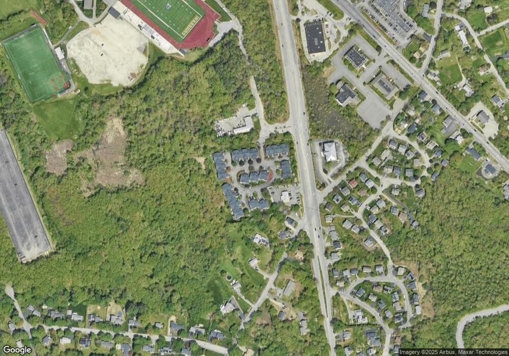
Map
Nearby Homes
- 124 Hillside Rd
- 204 Chestnut St
- 180 Chestnut St
- 34 Rosemont Dr
- 122 Lisa Ln
- 58 Berkeley Rd
- 40 Flagship Dr
- 43 Mill Rd
- 174 Chestnut St Unit 14
- 80 Sandra Ln
- 156 Chestnut St Unit 15
- 74 Hewitt Ave
- 170 Haverhill St Unit 138
- 170 Haverhill St Unit 129
- 29 Heath Rd
- 14 Summer St
- 316 Johnson St
- 16 Carmel Rd
- 156 High St
- 2 Kingston St Unit 2
- 39 Alcott Way
- 38 Alcott Way
- 37 Alcott Way
- 36 Alcott Way
- 35 Alcott Way
- 38 Alcott Way
- 39 Alcott Way Unit 39
- 15 Alcott Way
- 14 Alcott Way
- 13 Alcott Way
- 12 Alcott Way
- 11 Alcott Way
- 10 Alcott Way
- 12 Alcott Way Unit 12
- 12 Alcott Way
- 11 Alcott Way Unit 11
- 3 Alcott Way
- 3 Alcott Way Unit 3
- 33 Alcott Way
- 32 Alcott Way