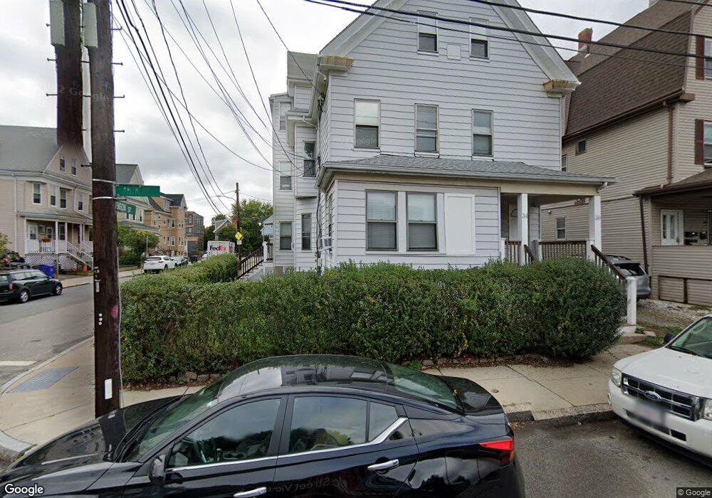
34 Antwerp St Unit 36 Brighton, MA 02135
Allston NeighborhoodEstimated Value: $1,251,844 - $2,118,000
9
Beds
3
Baths
3,241
Sq Ft
$470/Sq Ft
Est. Value
About This Home
This home is located at 34 Antwerp St Unit 36, Brighton, MA 02135 and is currently estimated at $1,522,211, approximately $469 per square foot. 34 Antwerp St Unit 36 is a home located in Suffolk County with nearby schools including German International School Boston, St Columbkille Partnership School, and St Herman Of Alaska Christian School.
Ownership History
Date
Name
Owned For
Owner Type
Purchase Details
Closed on
Aug 12, 2009
Sold by
Rozanski Paul M and Rozanski Joseph E
Bought by
Dimunzio David and Dimunzio David A
Current Estimated Value
Home Financials for this Owner
Home Financials are based on the most recent Mortgage that was taken out on this home.
Original Mortgage
$495,420
Outstanding Balance
$325,479
Interest Rate
5.36%
Mortgage Type
Purchase Money Mortgage
Estimated Equity
$1,196,732
Create a Home Valuation Report for This Property
The Home Valuation Report is an in-depth analysis detailing your home's value as well as a comparison with similar homes in the area
Home Values in the Area
Average Home Value in this Area
Purchase History
| Date | Buyer | Sale Price | Title Company |
|---|---|---|---|
| Dimunzio David | $541,000 | -- |
Source: Public Records
Mortgage History
| Date | Status | Borrower | Loan Amount |
|---|---|---|---|
| Open | Dimunzio David | $495,420 |
Source: Public Records
Tax History Compared to Growth
Tax History
| Year | Tax Paid | Tax Assessment Tax Assessment Total Assessment is a certain percentage of the fair market value that is determined by local assessors to be the total taxable value of land and additions on the property. | Land | Improvement |
|---|---|---|---|---|
| 2025 | $16,330 | $1,410,200 | $359,000 | $1,051,200 |
| 2024 | $13,807 | $1,266,700 | $312,300 | $954,400 |
| 2023 | $13,079 | $1,217,800 | $300,200 | $917,600 |
| 2022 | $12,619 | $1,159,800 | $285,900 | $873,900 |
| 2021 | $12,133 | $1,137,100 | $280,300 | $856,800 |
| 2020 | $11,436 | $1,083,000 | $264,100 | $818,900 |
| 2019 | $10,651 | $1,010,500 | $201,100 | $809,400 |
| 2018 | $7,913 | $755,100 | $196,600 | $558,500 |
| 2017 | $7,405 | $699,200 | $196,600 | $502,600 |
| 2016 | $6,688 | $608,000 | $196,600 | $411,400 |
| 2015 | $6,941 | $573,200 | $198,700 | $374,500 |
| 2014 | $6,270 | $498,400 | $198,700 | $299,700 |
Source: Public Records
Map
Nearby Homes
- 100 Lincoln St Unit 302
- 100 Lincoln St Unit 507
- 100 Lincoln St Unit 207
- 100 Lincoln St Unit 307
- 100 Lincoln St Unit 208
- 100 Lincoln St Unit 502
- 42 Waverly St Unit M
- 42 Waverly St Unit 3
- 40 Waverly St Unit M
- 54-60 Holton St Unit 58
- 26 Waverly St Unit 410
- 472-474 Western Ave
- 35 Adamson St
- 231 Everett St Unit 1
- 50 Hichborn St Unit 101
- 50 Leo M Birmingham Pkwy Unit 605
- 50 Leo M Birmingham Pkwy Unit 303
- 50 Leo M Birmingham Pkwy Unit 603
- 50 Leo M Birmingham Pkwy Unit 501
- 180 Telford St Unit 5-9
- 34 Antwerp St
- 34 Antwerp St Unit 2
- 36 Antwerp St
- 36 Antwerp St Unit 2
- 34 Antwerp St Unit 1
- 36 Antwerp St
- 34-36 Antwerp St
- 40 Antwerp St Unit 1
- 40 Antwerp St Unit STRERT
- 40 Antwerp St Unit 3
- 38 Antwerp St Unit 40
- 38 Antwerp St
- 38 Antwerp St Unit 1
- 38 Antwerp St Unit 2
- 38 Antwerp St Unit 3
- 3 Benson St Unit 2
- 3 Benson St Unit 1
- 3 Benson St
- 35 Benson St
- 3-5 Benson St