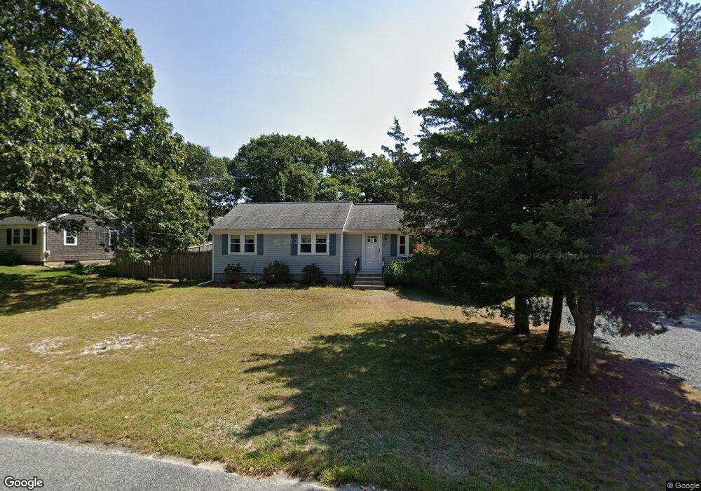
34 Arrowhead Dr Yarmouth Port, MA 02675
Yarmouth Port NeighborhoodEstimated Value: $480,000 - $646,000
3
Beds
2
Baths
1,001
Sq Ft
$566/Sq Ft
Est. Value
About This Home
This home is located at 34 Arrowhead Dr, Yarmouth Port, MA 02675 and is currently estimated at $566,975, approximately $566 per square foot. 34 Arrowhead Dr is a home located in Barnstable County with nearby schools including Dennis-Yarmouth Regional High School, St. Pius X. School, and Trinity Christian Academy of Cape Cod.
Ownership History
Date
Name
Owned For
Owner Type
Purchase Details
Closed on
Feb 11, 2021
Sold by
Solomon Steven F and Solomon Elizabeth F
Bought by
Solomon Elizabeth A and Solomon Steven F
Current Estimated Value
Purchase Details
Closed on
Oct 27, 2000
Sold by
Zapaula Nt and Zappala John J
Bought by
Solomon Steven F
Purchase Details
Closed on
May 19, 2000
Sold by
Est Sanches Joseph A and Sanches Joseph D
Bought by
Zappala Nt and Zappala John J
Create a Home Valuation Report for This Property
The Home Valuation Report is an in-depth analysis detailing your home's value as well as a comparison with similar homes in the area
Home Values in the Area
Average Home Value in this Area
Purchase History
| Date | Buyer | Sale Price | Title Company |
|---|---|---|---|
| Solomon Elizabeth A | -- | None Available | |
| Solomon Steven F | $149,900 | -- | |
| Zappala Nt | $110,000 | -- |
Source: Public Records
Mortgage History
| Date | Status | Borrower | Loan Amount |
|---|---|---|---|
| Previous Owner | Zappala Nt | $190,000 | |
| Previous Owner | Zappala Nt | $161,100 | |
| Previous Owner | Zappala Nt | $10,000 |
Source: Public Records
Tax History Compared to Growth
Tax History
| Year | Tax Paid | Tax Assessment Tax Assessment Total Assessment is a certain percentage of the fair market value that is determined by local assessors to be the total taxable value of land and additions on the property. | Land | Improvement |
|---|---|---|---|---|
| 2025 | $3,258 | $460,200 | $179,300 | $280,900 |
| 2024 | $3,024 | $409,700 | $151,600 | $258,100 |
| 2023 | $2,918 | $359,800 | $131,200 | $228,600 |
| 2022 | $3,004 | $327,200 | $119,300 | $207,900 |
| 2021 | $2,825 | $295,500 | $119,300 | $176,200 |
| 2020 | $2,764 | $276,400 | $119,300 | $157,100 |
| 2019 | $2,561 | $253,600 | $119,300 | $134,300 |
| 2018 | $2,427 | $235,900 | $101,600 | $134,300 |
| 2017 | $2,320 | $231,500 | $97,200 | $134,300 |
| 2016 | $2,222 | $222,600 | $88,300 | $134,300 |
| 2015 | $2,098 | $209,000 | $88,300 | $120,700 |
Source: Public Records
Map
Nearby Homes
- 68 Seminole Dr
- 209 Union St
- 32 Deveau Ln
- 8 Rowley Ln
- 882 W Yarmouth Rd
- 1 Hamblin Hill
- 24 Minnetuxet Way
- 32 Deveau Ln
- 1016 W West Yarmouth Rd
- 40 Deveau Ln
- 463 Route 6a
- 170 Pine St
- 14 Many Oaks Cir
- 404 Route 6a
- 16 Warren Rd Unit 16
- 16 Warren Rd
- 23 Dauphine Dr
- 21 Boxwood Cir
- 50 Cottonwood St
- 800 Route 6a
- 42 Arrowhead Dr
- 28 Arrowhead Dr
- 29 Harpoon Ln
- 35 Harpoon Ln
- 37 Arrowhead Dr
- 33 Arrowhead Dr
- 23 Harpoon Ln
- 24 Arrowhead Dr
- 48 Arrowhead Dr
- 27 Arrowhead Dr
- 43 Arrowhead Dr
- 39 Harpoon Ln
- 17 Harpoon Ln
- 30 Harpoon Ln
- 23 Arrowhead Dr
- 0 Harpoon Ln
- 36 Harpoon Ln
- 18 Arrowhead Dr
- 24 Harpoon Ln
- 47 Arrowhead Dr