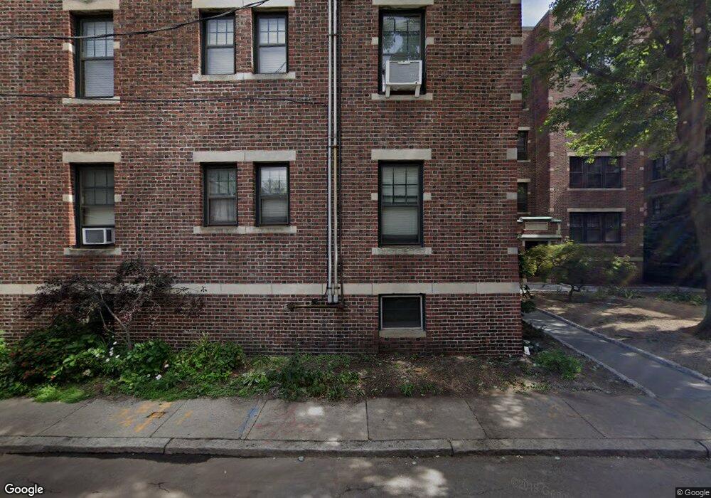
34 Ash St Unit 1 Cambridge, MA 02138
West Cambridge NeighborhoodEstimated Value: $606,000 - $682,000
1
Bed
1
Bath
570
Sq Ft
$1,113/Sq Ft
Est. Value
About This Home
This home is located at 34 Ash St Unit 1, Cambridge, MA 02138 and is currently estimated at $634,596, approximately $1,113 per square foot. 34 Ash St Unit 1 is a home located in Middlesex County with nearby schools including St Peter School, Buckingham Browne & Nichols School, and St. Paul's Choir School.
Ownership History
Date
Name
Owned For
Owner Type
Purchase Details
Closed on
Dec 31, 2012
Sold by
Hollis T and Landsman Paul
Bought by
Landsman A L
Current Estimated Value
Purchase Details
Closed on
Jul 21, 1994
Sold by
Adams John P
Bought by
Hollis Ta Nt and Karlin Helen
Home Financials for this Owner
Home Financials are based on the most recent Mortgage that was taken out on this home.
Original Mortgage
$97,275
Interest Rate
8.19%
Mortgage Type
Purchase Money Mortgage
Purchase Details
Closed on
Dec 27, 1989
Sold by
Costello John J
Bought by
Kervick Jane L
Home Financials for this Owner
Home Financials are based on the most recent Mortgage that was taken out on this home.
Original Mortgage
$100,000
Interest Rate
9.61%
Mortgage Type
Purchase Money Mortgage
Create a Home Valuation Report for This Property
The Home Valuation Report is an in-depth analysis detailing your home's value as well as a comparison with similar homes in the area
Home Values in the Area
Average Home Value in this Area
Purchase History
| Date | Buyer | Sale Price | Title Company |
|---|---|---|---|
| Landsman A L | -- | -- | |
| Hollis Ta Nt | $129,700 | -- | |
| Kervick Jane L | $125,000 | -- |
Source: Public Records
Mortgage History
| Date | Status | Borrower | Loan Amount |
|---|---|---|---|
| Previous Owner | Hollis Ta Nt | $97,275 | |
| Previous Owner | Kervick Jane L | $100,000 |
Source: Public Records
Tax History
| Year | Tax Paid | Tax Assessment Tax Assessment Total Assessment is a certain percentage of the fair market value that is determined by local assessors to be the total taxable value of land and additions on the property. | Land | Improvement |
|---|---|---|---|---|
| 2025 | $3,769 | $593,600 | $0 | $593,600 |
| 2024 | $3,367 | $568,800 | $0 | $568,800 |
| 2023 | $3,490 | $595,500 | $0 | $595,500 |
| 2022 | $3,508 | $592,600 | $0 | $592,600 |
| 2021 | $3,434 | $587,000 | $0 | $587,000 |
| 2020 | $3,374 | $586,700 | $0 | $586,700 |
| 2019 | $3,229 | $543,600 | $0 | $543,600 |
| 2018 | $313 | $498,200 | $0 | $498,200 |
| 2017 | $2,924 | $450,600 | $0 | $450,600 |
| 2016 | $2,727 | $390,100 | $0 | $390,100 |
| 2015 | $2,696 | $344,800 | $0 | $344,800 |
| 2014 | $2,651 | $316,300 | $0 | $316,300 |
Source: Public Records
Map
Nearby Homes
- 5 Brewer St Unit 5
- 992 Memorial Dr Unit 106
- 985 Memorial Dr Unit 603
- 985 Memorial Dr Unit 303
- 12 Gerry St Unit 12
- 986 Memorial Dr Unit 404
- 984 Memorial Dr Unit 984-503
- 130 Mount Auburn St Unit 309
- 14 Concord Ave Unit 624
- 1010 Memorial Dr Unit 6F
- 50 Follen St Unit 306
- 44 Garden St
- 16 Chauncy St Unit 53
- 153 Brattle St
- 172 Brattle St
- 2 Avon St Unit 6
- 33 Everett St
- 84 Garden St
- 11 Wright St Unit 1
- 12 Gray Gardens W Unit 14
- 34 Ash St Unit 404
- 34 Ash St Unit B1
- 34 Ash St Unit 16
- 34 Ash St Unit 15
- 34 Ash St Unit 14
- 34 Ash St Unit 13
- 34 Ash St Unit 12
- 34 Ash St Unit 11
- 34 Ash St Unit 10
- 34 Ash St Unit 9
- 34 Ash St Unit 8
- 34 Ash St Unit 7
- 34 Ash St Unit 6
- 34 Ash St Unit 5
- 34 Ash St Unit 4
- 34 Ash St Unit 3
- 34 Ash St Unit 2
- 34 Ash St Unit 203/AKA 6
- 34 Ash St Unit 303
- 34 Ash St Unit 104
Your Personal Tour Guide
Ask me questions while you tour the home.