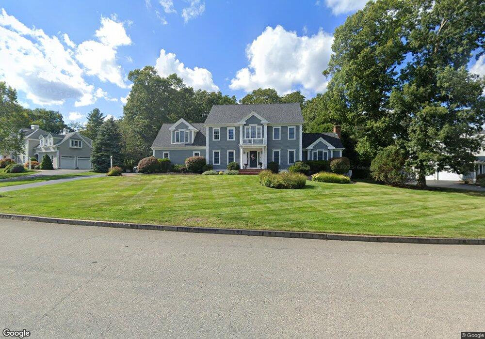
34 Bates Way Hanover, MA 02339
Estimated Value: $1,421,000 - $1,576,000
4
Beds
4
Baths
4,703
Sq Ft
$319/Sq Ft
Est. Value
About This Home
This home is located at 34 Bates Way, Hanover, MA 02339 and is currently estimated at $1,498,874, approximately $318 per square foot. 34 Bates Way is a home located in Plymouth County with nearby schools including Hanover High School, South Shore Charter Public School, and Holy Family Elementary School.
Ownership History
Date
Name
Owned For
Owner Type
Purchase Details
Closed on
Jun 12, 2020
Sold by
Mischler David C and Mischler Helen F
Bought by
Logan Casey J and Logan Emily A
Current Estimated Value
Purchase Details
Closed on
Jan 28, 2013
Sold by
Mischler Rt and Mischler
Bought by
Mischler Helen F and Mischler David C
Home Financials for this Owner
Home Financials are based on the most recent Mortgage that was taken out on this home.
Original Mortgage
$465,750
Interest Rate
3.35%
Mortgage Type
New Conventional
Purchase Details
Closed on
Jun 21, 2010
Sold by
Griffin Robert A and Griffin Susan M
Bought by
Mischler Rt and Mischler
Create a Home Valuation Report for This Property
The Home Valuation Report is an in-depth analysis detailing your home's value as well as a comparison with similar homes in the area
Home Values in the Area
Average Home Value in this Area
Purchase History
| Date | Buyer | Sale Price | Title Company |
|---|---|---|---|
| Logan Casey J | $920,000 | None Available | |
| Logan Casey J | $920,000 | None Available | |
| Mischler Helen F | -- | -- | |
| Mischler Helen F | -- | -- | |
| Mischler Rt | $767,000 | -- | |
| Mischler Rt | $767,000 | -- |
Source: Public Records
Mortgage History
| Date | Status | Borrower | Loan Amount |
|---|---|---|---|
| Previous Owner | Mischler Rt | $465,750 |
Source: Public Records
Tax History
| Year | Tax Paid | Tax Assessment Tax Assessment Total Assessment is a certain percentage of the fair market value that is determined by local assessors to be the total taxable value of land and additions on the property. | Land | Improvement |
|---|---|---|---|---|
| 2025 | $15,147 | $1,226,500 | $339,000 | $887,500 |
| 2024 | $14,706 | $1,145,300 | $339,000 | $806,300 |
| 2023 | $14,749 | $1,093,300 | $308,100 | $785,200 |
| 2022 | $13,475 | $883,600 | $271,100 | $612,500 |
| 2021 | $13,482 | $825,600 | $246,700 | $578,900 |
| 2020 | $13,425 | $823,100 | $269,200 | $553,900 |
| 2019 | $9,669 | $799,200 | $280,400 | $518,800 |
| 2018 | $12,523 | $769,200 | $300,600 | $468,600 |
| 2017 | $12,527 | $758,300 | $275,000 | $483,300 |
| 2016 | $12,185 | $722,700 | $250,000 | $472,700 |
| 2015 | $11,672 | $722,700 | $250,000 | $472,700 |
Source: Public Records
Map
Nearby Homes
- 47 Stone Meadow Ln
- 44 Stone Meadow Ln
- 36 Bayberry Ln
- 73 Shingle Mill Ln
- 776 Main St
- 46 Brookwood Rd
- 535 Webster St
- 50 Village Ln
- 506 Main St
- 18 Winterberry Ln
- 53 Chestnut St
- 436 E Water St
- 206-208 Hinghm St
- 823 Market St
- 62 Larchmont Ln
- 49 Washington Park Dr
- 9 Old Market St
- 49 Liberty St
- 117 Liberty St
- 92 Liberty St
Your Personal Tour Guide
Ask me questions while you tour the home.