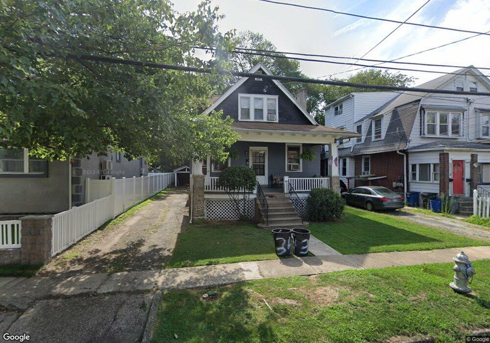
34 Beverly Ave Lansdowne, PA 19050
Estimated Value: $189,000 - $246,000
3
Beds
1
Bath
1,388
Sq Ft
$161/Sq Ft
Est. Value
About This Home
This home is located at 34 Beverly Ave, Lansdowne, PA 19050 and is currently estimated at $222,922, approximately $160 per square foot. 34 Beverly Ave is a home located in Delaware County with nearby schools including East Lansdowne Elementary School, Penn Wood Middle School, and Penn Wood High School - Cypress Street Campus.
Ownership History
Date
Name
Owned For
Owner Type
Purchase Details
Closed on
Mar 15, 2007
Sold by
Estate Of Violet E Blackburn
Bought by
Johnson Charles M
Current Estimated Value
Home Financials for this Owner
Home Financials are based on the most recent Mortgage that was taken out on this home.
Original Mortgage
$80,000
Outstanding Balance
$48,370
Interest Rate
6.24%
Mortgage Type
Purchase Money Mortgage
Estimated Equity
$174,552
Create a Home Valuation Report for This Property
The Home Valuation Report is an in-depth analysis detailing your home's value as well as a comparison with similar homes in the area
Home Values in the Area
Average Home Value in this Area
Purchase History
| Date | Buyer | Sale Price | Title Company |
|---|---|---|---|
| Johnson Charles M | $120,000 | None Available |
Source: Public Records
Mortgage History
| Date | Status | Borrower | Loan Amount |
|---|---|---|---|
| Open | Johnson Charles M | $80,000 |
Source: Public Records
Tax History Compared to Growth
Tax History
| Year | Tax Paid | Tax Assessment Tax Assessment Total Assessment is a certain percentage of the fair market value that is determined by local assessors to be the total taxable value of land and additions on the property. | Land | Improvement |
|---|---|---|---|---|
| 2025 | $5,184 | $121,330 | $47,220 | $74,110 |
| 2024 | $5,184 | $121,330 | $47,220 | $74,110 |
| 2023 | $3,876 | $121,330 | $47,220 | $74,110 |
| 2022 | $4,676 | $121,330 | $47,220 | $74,110 |
| 2021 | $6,972 | $121,330 | $47,220 | $74,110 |
| 2020 | $4,335 | $65,820 | $20,420 | $45,400 |
| 2019 | $4,263 | $65,820 | $20,420 | $45,400 |
| 2018 | $4,207 | $65,820 | $0 | $0 |
| 2017 | $3,991 | $65,820 | $0 | $0 |
| 2016 | $369 | $65,820 | $0 | $0 |
| 2015 | $369 | $65,820 | $0 | $0 |
| 2014 | $369 | $65,820 | $0 | $0 |
Source: Public Records
Map
Nearby Homes
- 407 Church Ln
- 608 Pembroke Ave
- 435 Bonsall Ave
- 7026 Atlantic Ave
- 603 Penn St
- 503 Bonsall Ave
- 7129 Seaford Rd
- 7123 Seaford Rd
- 530 Orchard Ave
- 536 Cypress St
- 7000 Greenwood Ave
- 726 Copley Rd
- 7162 Radbourne Rd
- 7046 Radbourne Rd
- 6858 Clover Ln
- 7155 Radbourne Rd
- 230 Wynnewood Ave
- 7042 Clinton Rd
- 226 E Greenwood Ave
- 7216 Clinton Rd
- 38 Beverly Ave
- 32 Beverly Ave
- 40 Beverly Ave
- 42 Beverly Ave
- 28 Beverly Ave
- 35 Wildwood Ave
- 44 Beverly Ave
- 31 Wildwood Ave
- 39 Wildwood Ave
- 29 Wildwood Ave
- 27 Wildwood Ave
- 43 Wildwood Ave
- 48 Beverly Ave
- 29 Beverly Ave
- 25 Beverly Ave
- 27 Beverly Ave
- 24 Beverly Ave
- 23 Beverly Ave
- 23 Wildwood Ave
- 33 Beverly Ave