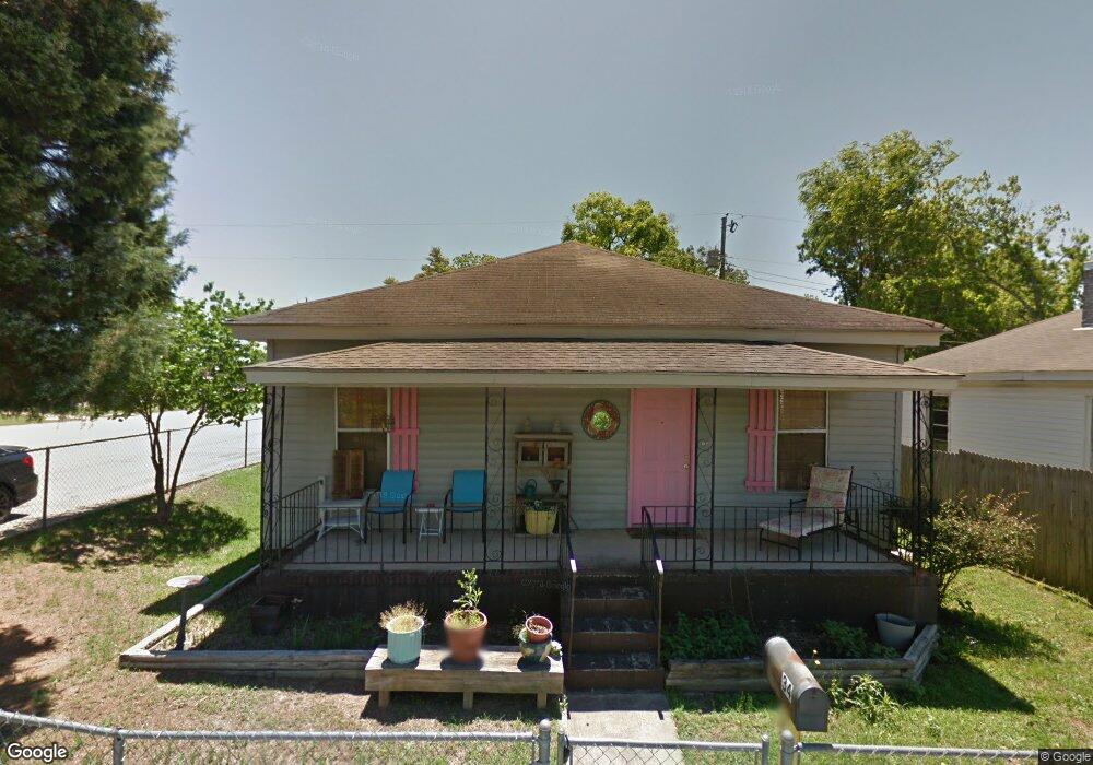
34 Brigham St Macon, GA 31204
Estimated Value: $54,000 - $72,000
2
Beds
1
Bath
1,117
Sq Ft
$54/Sq Ft
Est. Value
About This Home
This home is located at 34 Brigham St, Macon, GA 31204 and is currently estimated at $60,697, approximately $54 per square foot. 34 Brigham St is a home located in Bibb County with nearby schools including Brookdale Elementary School, Howard Middle School, and Howard High School.
Ownership History
Date
Name
Owned For
Owner Type
Purchase Details
Closed on
Jun 14, 2018
Sold by
Green Carol L
Bought by
Wericoba Properties Inc
Current Estimated Value
Home Financials for this Owner
Home Financials are based on the most recent Mortgage that was taken out on this home.
Original Mortgage
$15,000
Outstanding Balance
$8,914
Interest Rate
4.5%
Mortgage Type
Future Advance Clause Open End Mortgage
Estimated Equity
$51,783
Purchase Details
Closed on
Aug 5, 2013
Sold by
Martin Phillip E
Bought by
Green Carol L
Purchase Details
Closed on
Dec 30, 2009
Sold by
Bryan Rebecca L
Bought by
Martin Phillip E
Create a Home Valuation Report for This Property
The Home Valuation Report is an in-depth analysis detailing your home's value as well as a comparison with similar homes in the area
Purchase History
| Date | Buyer | Sale Price | Title Company |
|---|---|---|---|
| Wericoba Properties Inc | $15,000 | None Available | |
| Green Carol L | $185,000 | None Available | |
| Martin Phillip E | $12,000 | None Available | |
| Bryan Rebecca Peacock | -- | None Available |
Source: Public Records
Mortgage History
| Date | Status | Borrower | Loan Amount |
|---|---|---|---|
| Open | Wericoba Properties Inc | $15,000 |
Source: Public Records
Tax History
| Year | Tax Paid | Tax Assessment Tax Assessment Total Assessment is a certain percentage of the fair market value that is determined by local assessors to be the total taxable value of land and additions on the property. | Land | Improvement |
|---|---|---|---|---|
| 2025 | $334 | $13,572 | $720 | $12,852 |
| 2024 | $345 | $13,572 | $720 | $12,852 |
| 2023 | $402 | $13,572 | $720 | $12,852 |
| 2022 | $407 | $11,756 | $1,865 | $9,891 |
| 2021 | $270 | $7,096 | $1,865 | $5,231 |
| 2020 | $276 | $7,096 | $1,865 | $5,231 |
| 2019 | $235 | $7,096 | $1,865 | $5,231 |
| 2018 | $640 | $7,677 | $1,865 | $5,812 |
| 2017 | $288 | $7,677 | $1,865 | $5,812 |
| 2016 | $266 | $7,677 | $1,865 | $5,812 |
| 2015 | $423 | $7,677 | $1,865 | $5,812 |
| 2014 | $363 | $12,433 | $1,865 | $10,568 |
Source: Public Records
Map
Nearby Homes
- 3416 Brookdale Ave
- 78 Short St
- 146 Comer Terrace
- 3540 Brookdale Ave
- 175 Gardner St
- 3817 Lake St
- 3341 Ridge Ave
- 3325 Ingleside Ave
- 3280 Ingleside Ave
- 3280 Vista Cir
- 3260 Vista Cir
- 3560 Mckenzie Dr
- 3285 Vista Cir
- 3558 Morgan Dr
- 3057 Ridge Ave
- 3415 Austin Ave
- 3831 Fairmont Ave
- 235 Vista Cir
- 3881 Grand Ave
- 360 Vista Cir Unit B
- 36 Brigham St
- 35 Brigham St
- 28 Brigham St
- 60 Davis St
- 38 Brigham St
- 58 Davis St
- 26 Brigham St
- 56 Davis St
- 24 Brigham St
- 40 Brigham St
- 3378 Brookdale Ave Unit A
- 3378 Brookdale Ave Unit B
- 3378 Brookdale Ave
- 22 Brigham St
- 54 Davis St
- 3428 Brookdale Ave
- 42 Brigham St
- 3440 Brookdale Ave
- 65 Davis St
- 52 Davis St
Your Personal Tour Guide
Ask me questions while you tour the home.