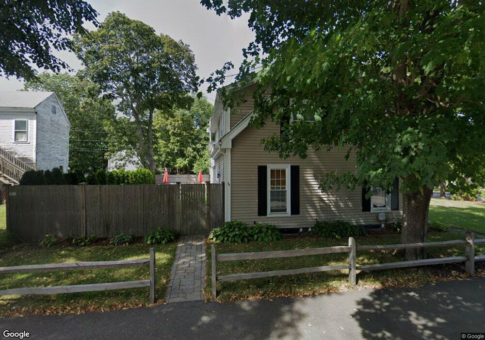
34 Broad St Weymouth, MA 02188
Weymouth Landing NeighborhoodEstimated Value: $653,000 - $813,000
4
Beds
2
Baths
2,756
Sq Ft
$263/Sq Ft
Est. Value
About This Home
This home is located at 34 Broad St, Weymouth, MA 02188 and is currently estimated at $725,117, approximately $263 per square foot. 34 Broad St is a home located in Norfolk County with nearby schools including Frederick C Murphy, Abigail Adams Middle School, and Weymouth Middle School Chapman.
Ownership History
Date
Name
Owned For
Owner Type
Purchase Details
Closed on
Nov 14, 2003
Sold by
Mckinnon Warren P and Mckinnon Ella A
Bought by
Parsley Catherine
Current Estimated Value
Home Financials for this Owner
Home Financials are based on the most recent Mortgage that was taken out on this home.
Original Mortgage
$157,500
Interest Rate
5.81%
Mortgage Type
Purchase Money Mortgage
Create a Home Valuation Report for This Property
The Home Valuation Report is an in-depth analysis detailing your home's value as well as a comparison with similar homes in the area
Home Values in the Area
Average Home Value in this Area
Purchase History
| Date | Buyer | Sale Price | Title Company |
|---|---|---|---|
| Parsley Catherine | $210,000 | -- |
Source: Public Records
Mortgage History
| Date | Status | Borrower | Loan Amount |
|---|---|---|---|
| Open | Parsley Catherine | $250,000 | |
| Closed | Parsley Catherine | $157,500 | |
| Previous Owner | Parsley Catherine | $35,000 |
Source: Public Records
Tax History Compared to Growth
Tax History
| Year | Tax Paid | Tax Assessment Tax Assessment Total Assessment is a certain percentage of the fair market value that is determined by local assessors to be the total taxable value of land and additions on the property. | Land | Improvement |
|---|---|---|---|---|
| 2025 | $6,519 | $645,400 | $206,000 | $439,400 |
| 2024 | $6,315 | $614,900 | $196,200 | $418,700 |
| 2023 | $6,137 | $587,300 | $181,700 | $405,600 |
| 2022 | $5,942 | $518,500 | $168,200 | $350,300 |
| 2021 | $5,809 | $494,800 | $168,200 | $326,600 |
| 2020 | $5,614 | $471,000 | $168,200 | $302,800 |
| 2019 | $5,475 | $451,700 | $161,700 | $290,000 |
| 2018 | $5,006 | $400,500 | $154,000 | $246,500 |
| 2017 | $4,663 | $364,000 | $146,700 | $217,300 |
| 2016 | $4,356 | $340,300 | $141,100 | $199,200 |
| 2015 | $4,163 | $322,700 | $141,100 | $181,600 |
| 2014 | $4,096 | $308,000 | $131,300 | $176,700 |
Source: Public Records
Map
Nearby Homes
- 16 Lindbergh Ave
- 23-25 Lindbergh Ave
- 15 Summer St
- 11 Richmond St
- 122 Washington St Unit 22
- 76 Kingman St
- 114 Broad St Unit D
- 114 Broad St Unit C
- 19 Vine St Unit 3
- 19 Vine St Unit 1
- 36 Brookside Rd
- 33 Congress St
- 37 Lantern Ln
- 24 Blake Rd
- 54 Federal St
- 141 Commercial St Unit 9
- 51 Faxon St
- 97 Liberty St
- 294 Commercial St
- 286 Broad St
- 36 Broad St Unit 1
- 28 Broad St
- 24 Broad St
- 27 Broad St
- 28 Franklin St
- 22 Broad St
- 21 Broad St
- 18 Franklin St Unit 20
- 18-20 Franklin St Unit 18
- 16 Broad St
- 17 Broad St Unit 2
- 17 Broad St
- 17 Broad St Unit 1
- 14-16 Franklin St
- 14 Franklin St Unit 16
- 11 Franklin St
- 11 Broad St
- 12 Franklin St
- 4 Stetson St
- 57-59 Br0ad St Unit 1st Flr