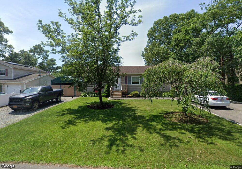
34 Burney Blvd Mastic, NY 11950
Estimated Value: $531,227 - $578,000
3
Beds
2
Baths
1,480
Sq Ft
$374/Sq Ft
Est. Value
About This Home
This home is located at 34 Burney Blvd, Mastic, NY 11950 and is currently estimated at $554,057, approximately $374 per square foot. 34 Burney Blvd is a home located in Suffolk County with nearby schools including Eastport-South Manor Junior/Senior High School.
Ownership History
Date
Name
Owned For
Owner Type
Purchase Details
Closed on
Jan 7, 2002
Sold by
Dazzo Salvatore and Scaglione Phylis
Bought by
Elton Harvey J and Bristoll Jennifer
Current Estimated Value
Home Financials for this Owner
Home Financials are based on the most recent Mortgage that was taken out on this home.
Original Mortgage
$162,700
Outstanding Balance
$66,912
Interest Rate
7.13%
Mortgage Type
FHA
Estimated Equity
$487,145
Create a Home Valuation Report for This Property
The Home Valuation Report is an in-depth analysis detailing your home's value as well as a comparison with similar homes in the area
Home Values in the Area
Average Home Value in this Area
Purchase History
| Date | Buyer | Sale Price | Title Company |
|---|---|---|---|
| Elton Harvey J | $165,254 | Fidelity National Title Ins |
Source: Public Records
Mortgage History
| Date | Status | Borrower | Loan Amount |
|---|---|---|---|
| Open | Elton Harvey J | $162,700 |
Source: Public Records
Tax History
| Year | Tax Paid | Tax Assessment Tax Assessment Total Assessment is a certain percentage of the fair market value that is determined by local assessors to be the total taxable value of land and additions on the property. | Land | Improvement |
|---|---|---|---|---|
| 2024 | $7,330 | $1,900 | $160 | $1,740 |
| 2023 | $7,330 | $1,900 | $160 | $1,740 |
| 2022 | $6,310 | $1,900 | $160 | $1,740 |
| 2021 | $6,310 | $1,900 | $160 | $1,740 |
| 2020 | $6,602 | $1,900 | $160 | $1,740 |
| 2019 | $6,602 | $0 | $0 | $0 |
| 2018 | $6,218 | $1,900 | $160 | $1,740 |
| 2017 | $6,218 | $1,900 | $160 | $1,740 |
| 2016 | $6,153 | $1,900 | $160 | $1,740 |
| 2015 | -- | $1,900 | $160 | $1,740 |
| 2014 | -- | $1,900 | $160 | $1,740 |
Source: Public Records
Map
Nearby Homes
- 211 N Titmus Dr
- 275 N Titmus Dr
- 25 Sweetbriar Dr
- 12 Applegate Dr
- 9 Dreamland St
- 129 Keller Dr
- 194 Cranford Blvd
- VL - (Sec 644 Lot 72 Moriches-Middle Island Rd
- 2 Fenwick St
- 86 Stuyvesant Ave
- VL Moriches-Middle Island Rd
- 125 Dana Ave
- 79 Stuyvesant Ave
- 71 Stuyvesant Ave
- 64 Vernon Ave
- 17 Nelson Place
- VL Lambert Ave
- NC Malta Place
- 73 Maple Ave
- 189 Grand Ave
Your Personal Tour Guide
Ask me questions while you tour the home.