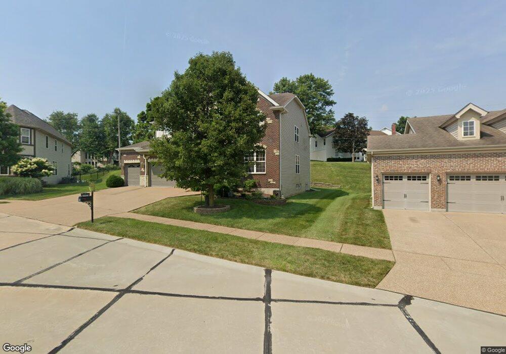
34 Burnside Ct Saint Charles, MO 63303
Heritage NeighborhoodEstimated Value: $575,000 - $706,000
4
Beds
4
Baths
3,280
Sq Ft
$196/Sq Ft
Est. Value
About This Home
This home is located at 34 Burnside Ct, Saint Charles, MO 63303 and is currently estimated at $642,795, approximately $195 per square foot. 34 Burnside Ct is a home located in St. Charles County with nearby schools including Becky-David Elementary School, Barnwell Middle School, and Francis Howell North High School.
Ownership History
Date
Name
Owned For
Owner Type
Purchase Details
Closed on
Feb 14, 2011
Sold by
Payne Family Homes At The Enclave Llc
Bought by
Sundaram Meenakshi and Arunachalam Vidyalakshmi
Current Estimated Value
Home Financials for this Owner
Home Financials are based on the most recent Mortgage that was taken out on this home.
Original Mortgage
$279,800
Outstanding Balance
$191,486
Interest Rate
4.86%
Mortgage Type
New Conventional
Estimated Equity
$451,309
Create a Home Valuation Report for This Property
The Home Valuation Report is an in-depth analysis detailing your home's value as well as a comparison with similar homes in the area
Home Values in the Area
Average Home Value in this Area
Purchase History
| Date | Buyer | Sale Price | Title Company |
|---|---|---|---|
| Sundaram Meenakshi | $357,113 | Integrity Land Title Co Inc |
Source: Public Records
Mortgage History
| Date | Status | Borrower | Loan Amount |
|---|---|---|---|
| Open | Sundaram Meenakshi | $279,800 |
Source: Public Records
Tax History
| Year | Tax Paid | Tax Assessment Tax Assessment Total Assessment is a certain percentage of the fair market value that is determined by local assessors to be the total taxable value of land and additions on the property. | Land | Improvement |
|---|---|---|---|---|
| 2025 | $6,723 | $115,425 | -- | -- |
| 2024 | $6,723 | $109,007 | -- | -- |
| 2023 | $6,714 | $109,007 | -- | -- |
| 2022 | $5,929 | $89,146 | $0 | $0 |
| 2021 | $5,917 | $89,146 | $0 | $0 |
| 2020 | $5,561 | $81,655 | $0 | $0 |
| 2019 | $5,540 | $81,655 | $0 | $0 |
| 2018 | $5,374 | $75,619 | $0 | $0 |
| 2017 | $5,346 | $75,619 | $0 | $0 |
| 2016 | $4,967 | $70,445 | $0 | $0 |
| 2015 | $4,929 | $70,445 | $0 | $0 |
| 2014 | $4,701 | $65,137 | $0 | $0 |
Source: Public Records
Map
Nearby Homes
- 411 Savannah Ridge Dr
- 1625 Mount Vernon Dr Unit 4
- 1611 Burnside Ln
- 58 Lansdowne Ct
- 3010 Paddlewheel Ct
- 2721 Heritage Landing
- 1355 Hampton Rd Unit B
- 2609 Plantation Point Unit D
- 2605 Plantation Point Unit B
- 726 Gran Lin Dr
- 2617 Hampton Rd Unit C
- 2623 Hampton Rd Unit A
- 1465 Heritage Landing Unit 35
- 1465 Heritage Landing Unit 306
- 1465 Heritage Landing Unit 102
- 1465 Heritage Landing Unit 46 (410)
- 1380 Heritage Landing Unit 206
- 1448 Gettysburg Landing
- 2949 Oetting Dr
- 934 Silverstone Dr
- 36 Burnside Ct
- 36 Burnside Ct
- 32 Burnside Ct
- 510 Chesapeake Ct
- 38Lot # 21 Burnside Ct
- 508 Chesapeake Ct
- 38 Burnside Ct
- 38 Burnside Ct
- 26 Burnside Ct
- 30 Burnside Ct
- 512 Chesapeake Ct
- 28 Burnside Ct
- 24 Burnside Ct
- 3 Car Pebble Beach @ Bogey Club
- 3 Car Stack Pebble Beach@bogey
- 78 Lot @ Bogey Club
- 56 Lot @ Bogey Club
- 3 Car Stack Oakhurst @ Bogey
- 3 Car Oakhurst @ Bogey Club
- 105 Woodland@wo