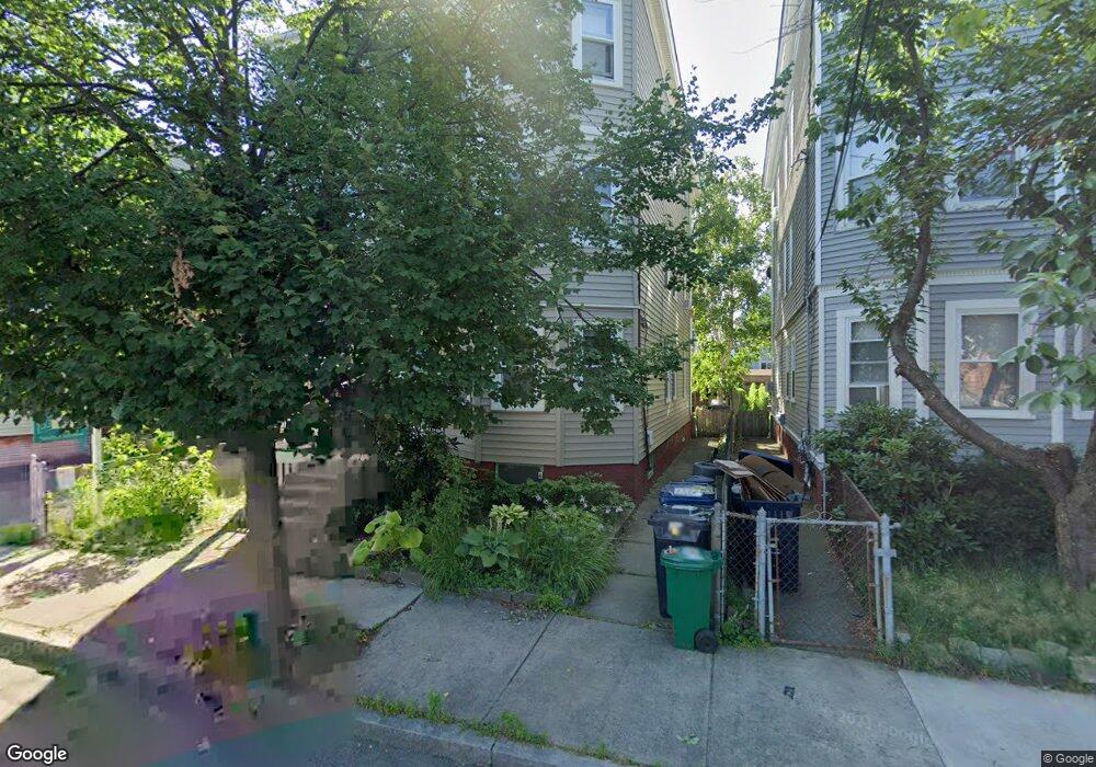
34 Camp St Unit 3 Cambridge, MA 02140
North Cambridge NeighborhoodEstimated Value: $703,330 - $902,000
2
Beds
1
Bath
950
Sq Ft
$848/Sq Ft
Est. Value
About This Home
This home is located at 34 Camp St Unit 3, Cambridge, MA 02140 and is currently estimated at $805,583, approximately $847 per square foot. 34 Camp St Unit 3 is a home located in Middlesex County with nearby schools including Benjamin Banneker Charter Public School, International School of Boston, and Cambridge Friends School.
Ownership History
Date
Name
Owned For
Owner Type
Purchase Details
Closed on
Apr 6, 2018
Sold by
Hammatt Nathaneil M and Bassett Jessica
Bought by
36 Camp Street Rt
Current Estimated Value
Purchase Details
Closed on
Jun 4, 2010
Sold by
James John Peter
Bought by
Hammatt Nathaniel M and Bassett Jessica
Home Financials for this Owner
Home Financials are based on the most recent Mortgage that was taken out on this home.
Original Mortgage
$225,000
Interest Rate
5.12%
Mortgage Type
Purchase Money Mortgage
Create a Home Valuation Report for This Property
The Home Valuation Report is an in-depth analysis detailing your home's value as well as a comparison with similar homes in the area
Home Values in the Area
Average Home Value in this Area
Purchase History
| Date | Buyer | Sale Price | Title Company |
|---|---|---|---|
| 36 Camp Street Rt | -- | -- | |
| Hammatt Nathaniel M | $373,000 | -- |
Source: Public Records
Mortgage History
| Date | Status | Borrower | Loan Amount |
|---|---|---|---|
| Previous Owner | Hammatt Nathaniel M | $225,000 |
Source: Public Records
Tax History Compared to Growth
Tax History
| Year | Tax Paid | Tax Assessment Tax Assessment Total Assessment is a certain percentage of the fair market value that is determined by local assessors to be the total taxable value of land and additions on the property. | Land | Improvement |
|---|---|---|---|---|
| 2025 | $3,850 | $606,300 | $0 | $606,300 |
| 2024 | $3,672 | $620,300 | $0 | $620,300 |
| 2023 | $3,588 | $612,300 | $0 | $612,300 |
| 2022 | $3,574 | $603,700 | $0 | $603,700 |
| 2021 | $3,514 | $600,600 | $0 | $600,600 |
| 2020 | $3,406 | $592,400 | $0 | $592,400 |
| 2019 | $3,260 | $548,900 | $0 | $548,900 |
| 2018 | $1,044 | $503,100 | $0 | $503,100 |
| 2017 | $3,020 | $465,300 | $0 | $465,300 |
| 2016 | $2,911 | $416,500 | $0 | $416,500 |
| 2015 | $2,879 | $368,100 | $0 | $368,100 |
| 2014 | $2,830 | $337,700 | $0 | $337,700 |
Source: Public Records
Map
Nearby Homes
- 32 Cameron Ave
- 39 Seven Pines Ave
- 67-69 Cameron Ave
- 24 Washburn Ave Unit 1
- 97 Elmwood St Unit 313
- 97 Elmwood St Unit 110
- 97 Elmwood St Unit 310
- 17 Shea Rd
- 69 Harvey St Unit 1
- 50 Howard St Unit 5
- 30 Dudley St
- 19 Cottage Park Ave
- 22 Harrington Rd
- 69 Clarendon Ave Unit A
- 127 Harvey St
- 127 Harvey St Unit 127
- 23 Brookford St
- 23 Brookford St Unit 2
- 23 Brookford St Unit 1
- 112 Jackson St
- 34 Camp St Unit 36
- 34 Camp St Unit 36
- 34 Camp St Unit 36
- 34 Camp St Unit 1
- 30 Camp St Unit 2
- 32 Camp St
- 16-18 Seven Pines Ave
- 16 Seven Pines Ave
- 22 Seven Pines Ave Unit 1
- 20 Seven Pines Ave Unit 22
- 20 Seven Pines Ave Unit 22
- 20 Seven Pines Ave Unit 22
- 22 Seven Pines Ave
- 20 Seven Pines Ave Unit 1
- 20 Seven Pines Ave Unit 3
- 20 Seven Pines Ave Unit 2
- 18 Seven Pines Ave
- 18 Seven Pines Ave Unit 2
- 18 Seven Pines Ave Unit 1
- 20-22 Seven Pines Ave Unit 2