34 Cape Fear Trail Bald Head Island, NC 28461
Estimated Value: $1,570,000 - $2,078,390
4
Beds
4
Baths
2,801
Sq Ft
$662/Sq Ft
Est. Value
About This Home
This home is located at 34 Cape Fear Trail, Bald Head Island, NC 28461 and is currently estimated at $1,854,348, approximately $662 per square foot. 34 Cape Fear Trail is a home located in Brunswick County with nearby schools including Southport Elementary School, South Brunswick Middle School, and South Brunswick High School.
Ownership History
Date
Name
Owned For
Owner Type
Purchase Details
Closed on
Mar 25, 2015
Sold by
Dees Jeanette L
Bought by
Dees Jeanette Lanier
Current Estimated Value
Purchase Details
Closed on
Jun 18, 2010
Sold by
Johnston Edward R and Johnston Pat L
Bought by
Dees Jeanette L
Home Financials for this Owner
Home Financials are based on the most recent Mortgage that was taken out on this home.
Original Mortgage
$556,850
Outstanding Balance
$373,202
Interest Rate
4.97%
Mortgage Type
VA
Estimated Equity
$1,481,146
Create a Home Valuation Report for This Property
The Home Valuation Report is an in-depth analysis detailing your home's value as well as a comparison with similar homes in the area
Home Values in the Area
Average Home Value in this Area
Purchase History
| Date | Buyer | Sale Price | Title Company |
|---|---|---|---|
| Dees Jeanette Lanier | -- | None Available | |
| Dees Jeanette L | $900,000 | None Available |
Source: Public Records
Mortgage History
| Date | Status | Borrower | Loan Amount |
|---|---|---|---|
| Open | Dees Jeanette L | $556,850 |
Source: Public Records
Tax History Compared to Growth
Tax History
| Year | Tax Paid | Tax Assessment Tax Assessment Total Assessment is a certain percentage of the fair market value that is determined by local assessors to be the total taxable value of land and additions on the property. | Land | Improvement |
|---|---|---|---|---|
| 2025 | $11,652 | $1,111,850 | $175,000 | $936,850 |
| 2024 | $11,652 | $1,111,850 | $175,000 | $936,850 |
| 2023 | $12,009 | $1,111,850 | $175,000 | $936,850 |
| 2022 | $12,009 | $922,420 | $180,000 | $742,420 |
| 2021 | $11,686 | $922,420 | $180,000 | $742,420 |
| 2020 | $11,686 | $922,420 | $180,000 | $742,420 |
| 2019 | $11,686 | $187,380 | $180,000 | $7,380 |
| 2018 | $11,364 | $188,330 | $180,000 | $8,330 |
| 2017 | $11,139 | $188,330 | $180,000 | $8,330 |
| 2016 | $11,139 | $188,330 | $180,000 | $8,330 |
| 2015 | $10,581 | $896,970 | $180,000 | $716,970 |
| 2014 | $9,835 | $920,690 | $350,000 | $570,690 |
Source: Public Records
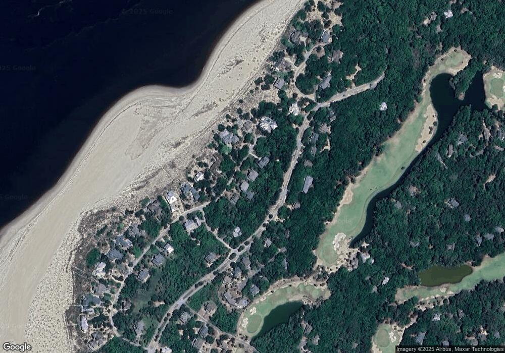
Map
Nearby Homes
- 35 Cape Fear Trail
- 227 W Bald Head Wynd
- 224 W Bald Head Wynd
- 123 W Bald Head Wynd
- 15 Sea Gull Trail
- 2 Fort Holmes Trail
- 8 Racerunner Ct
- 113 W Bald Head W
- 11 Royal Tern Ct
- 10 Royal Tern Ct
- 32 Dowitcher Trail
- 28 Dowitcher Trail
- 40 Dowitcher Trail
- 35 Dowitcher Trail
- 20 Fort Holmes Trail
- 29 Fort Holmes Trail
- 17 Musket Ct
- 5 Musket Ct
- 55 Fort Holmes Trail
- 45 Fort Holmes Trail
- 34 Cape Fear Trail (L-1224r)
- 32 Cape Fear Trail
- 36 Cape Fear Trail
- 36 Cape Fear Trail Unit L1223
- 30 Cape Fear Trail
- 136 W Bald Head Wynd
- 39 Cape Fear Trail
- 133 W Bald Head Wynd
- 131 W Bald Head Wynd
- 40 Cape Fear Trail
- 233 W Bald Head Wynd
- 3 W Bald Head Wynd
- 108 W Bald Head Wynd
- 113 W Bald Head Wynd
- 41 Cape Fear Trail
- 33 Cape Fear Trail
- 33 Cape Fear Trail Unit L1016
- 129 W Bald Head Wynd
- 129 W Bald Head Wynd Unit L105
- 17 Spikerush Ct