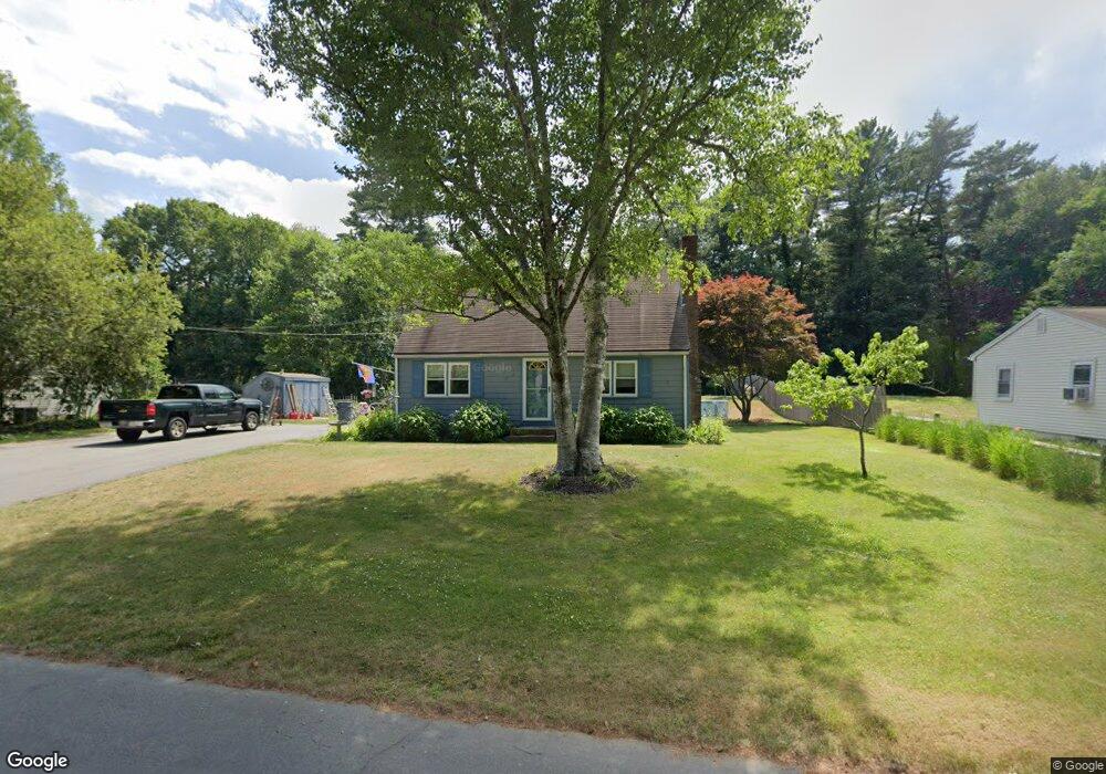
34 Cedar Ln Halifax, MA 02338
Estimated Value: $526,929 - $640,000
About This Home
This home is located at 34 Cedar Ln, Halifax, MA 02338 and is currently estimated at $577,482, approximately $429 per square foot. 34 Cedar Ln is a home located in Plymouth County with nearby schools including Silver Lake Regional High School, Halifax Elementary School, and Silver Lake Regional Middle School.
Ownership History
We collect this data history from publicly available records. To have your information removed, we recommend requesting removal directly through your county’s website.
Purchase Details
Home Financials for this Owner
Home Financials are based on the most recent Mortgage that was taken out on this home.Home Values in the Area
Average Home Value in this Area
Purchase History
We collect this data history from publicly available records. To have your information removed, we recommend requesting removal directly through your county’s website.
| Date | Buyer | Sale Price | Title Company |
|---|---|---|---|
| $127,000 | -- |
Mortgage History
We collect this data history from publicly available records. To have your information removed, we recommend requesting removal directly through your county’s website.
| Date | Status | Borrower | Loan Amount |
|---|---|---|---|
| Open | $241,900 | ||
| Closed | $211,000 | ||
| Closed | $41,950 | ||
| Closed | $120,650 |
Tax History
We collect this data history from publicly available records. To have your information removed, we recommend requesting removal directly through your county’s website.
| Year | Tax Paid | Tax Assessment Tax Assessment Total Assessment is a certain percentage of the fair market value that is determined by local assessors to be the total taxable value of land and additions on the property. | Land | Improvement |
|---|---|---|---|---|
| 2025 | $6,386 | $447,500 | $168,400 | $279,100 |
| 2024 | $6,199 | $430,500 | $161,900 | $268,600 |
| 2023 | $6,078 | $408,500 | $157,200 | $251,300 |
| 2022 | $5,895 | $368,200 | $140,400 | $227,800 |
| 2021 | $5,589 | $321,400 | $134,900 | $186,500 |
| 2020 | $5,492 | $314,900 | $148,400 | $166,500 |
| 2019 | $5,344 | $305,900 | $144,100 | $161,800 |
| 2018 | $5,099 | $288,900 | $136,000 | $152,900 |
| 2017 | $5,103 | $275,400 | $136,000 | $139,400 |
| 2016 | $4,959 | $257,600 | $127,100 | $130,500 |
| 2015 | $4,892 | $257,600 | $127,100 | $130,500 |
Map
- 9 Ash Rd
- 22 Madison Rd
- 101 Annawon Dr
- 264 Twin Lakes Dr
- 244-244A Holmes St
- 23 Paradise Ln
- 20 Aldana Rd
- 79 Plymouth St
- 19 Wamsutta Ave
- 58 Maplewood Dr
- 7 Holly St
- 11 Sycamore Dr
- 6 Forestdale Dr
- 22 Sycamore Dr
- 21 Parkwood Dr
- 36 Marilyn Way
- 266 Monponsett St Unit 1105
- 266 Monponsett St Unit 1201
- 266 Monponsett St Unit 1101
- 266 Monponsett St Unit 1109
Ask me questions while you tour the home.