Estimated Value: $251,366 - $285,000
3
Beds
2
Baths
1,196
Sq Ft
$227/Sq Ft
Est. Value
About This Home
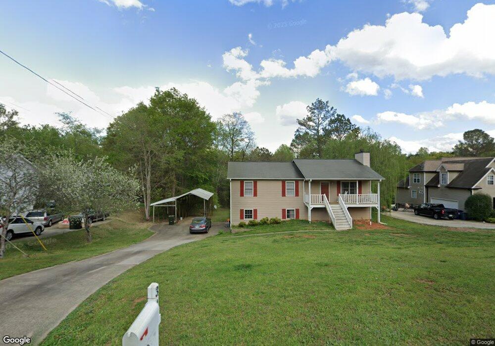
This home is located at 34 Cove Dr Unit Phs 1, Hiram, GA 30141 and is currently estimated at $271,842, approximately $227 per square foot. 34 Cove Dr Unit Phs 1 is a home located in Paulding County with nearby schools including Sam D. Panter Elementary School, J. A. Dobbins Middle School, and Hiram High School.
Ownership History
Date
Name
Owned For
Owner Type
Purchase Details
Closed on
Aug 23, 2024
Sold by
Batson William Robert
Bought by
Batson Nancy and Batson William Robert
Current Estimated Value
Home Financials for this Owner
Home Financials are based on the most recent Mortgage that was taken out on this home.
Original Mortgage
$215,000
Outstanding Balance
$212,525
Interest Rate
6.78%
Mortgage Type
New Conventional
Estimated Equity
$59,317
Purchase Details
Closed on
Apr 15, 2019
Sold by
Lindsey Malcolm
Bought by
Batson William Robert
Home Financials for this Owner
Home Financials are based on the most recent Mortgage that was taken out on this home.
Original Mortgage
$153,174
Interest Rate
4.62%
Mortgage Type
FHA
Purchase Details
Closed on
Feb 18, 1991
Bought by
Lindsey Malcolm
Create a Home Valuation Report for This Property
The Home Valuation Report is an in-depth analysis detailing your home's value as well as a comparison with similar homes in the area
Home Values in the Area
Average Home Value in this Area
Purchase History
| Date | Buyer | Sale Price | Title Company |
|---|---|---|---|
| Batson Nancy | -- | -- | |
| Batson William Robert | $156,000 | -- | |
| Lindsey Malcolm | $59,900 | -- |
Source: Public Records
Mortgage History
| Date | Status | Borrower | Loan Amount |
|---|---|---|---|
| Open | Batson Nancy | $215,000 | |
| Previous Owner | Batson William Robert | $153,174 |
Source: Public Records
Tax History Compared to Growth
Tax History
| Year | Tax Paid | Tax Assessment Tax Assessment Total Assessment is a certain percentage of the fair market value that is determined by local assessors to be the total taxable value of land and additions on the property. | Land | Improvement |
|---|---|---|---|---|
| 2024 | $721 | $108,688 | $12,000 | $96,688 |
| 2023 | $816 | $104,108 | $12,000 | $92,108 |
| 2022 | $620 | $78,524 | $12,000 | $66,524 |
| 2021 | $623 | $64,424 | $8,000 | $56,424 |
| 2020 | $629 | $61,444 | $8,000 | $53,444 |
| 2019 | $1,559 | $51,756 | $8,000 | $43,756 |
| 2018 | $1,145 | $38,000 | $4,691 | $33,309 |
| 2017 | $1,161 | $38,000 | $4,691 | $33,309 |
| 2016 | $1,375 | $45,464 | $6,000 | $39,464 |
| 2015 | $1,130 | $36,724 | $6,000 | $30,724 |
| 2014 | $711 | $22,520 | $6,000 | $16,520 |
| 2013 | -- | $18,360 | $6,000 | $12,360 |
Source: Public Records
Map
Nearby Homes
- 74 Bonds Ct
- 45 Laird Rd
- 41 Laird Rd
- 261 Township Dr
- 7606 Nebo Rd
- 2598 Hiram Douglasville Hwy
- 7012 Nebo Rd
- 138 Gorham Gates Dr
- 149 Willow Bend Rd
- 133 Willow Bend Rd
- 149 Willow Bend Dr
- 133 Willow Bend Dr
- 2393 Bill Carruth Pkwy
- 6488 Nebo Rd
- 139 Valerie Cir
- 175 Arnold Ln
- 288 Valerie Cir
- 554 Morningside Dr