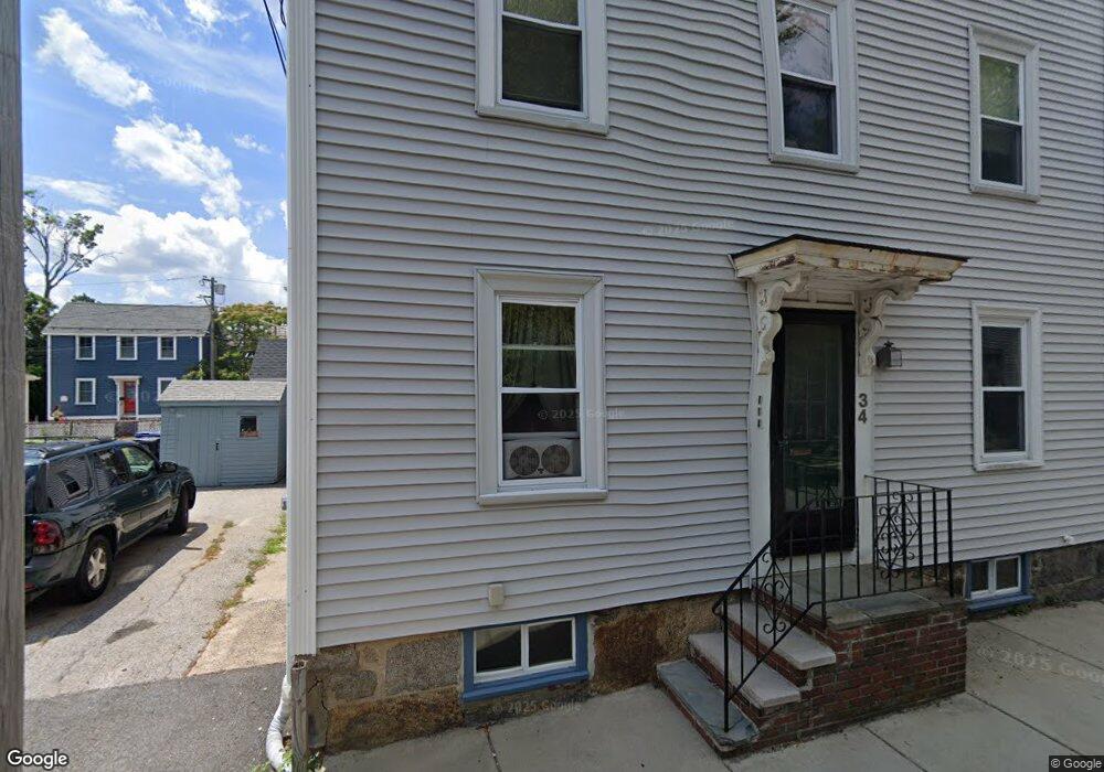
34 Daniels St Unit 3 Salem, MA 01970
Derby Street NeighborhoodEstimated Value: $422,000 - $471,000
2
Beds
1
Bath
875
Sq Ft
$510/Sq Ft
Est. Value
About This Home
This home is located at 34 Daniels St Unit 3, Salem, MA 01970 and is currently estimated at $446,237, approximately $509 per square foot. 34 Daniels St Unit 3 is a home located in Essex County with nearby schools including Saltonstall School, Carlton Elementary School, and Bates Elementary School.
Ownership History
Date
Name
Owned For
Owner Type
Purchase Details
Closed on
Oct 16, 2025
Sold by
Bogart Edward J
Bought by
Duffy Toni M
Current Estimated Value
Home Financials for this Owner
Home Financials are based on the most recent Mortgage that was taken out on this home.
Original Mortgage
$273,750
Outstanding Balance
$273,503
Interest Rate
6.5%
Mortgage Type
Purchase Money Mortgage
Estimated Equity
$172,734
Purchase Details
Closed on
Nov 28, 2006
Sold by
Bogart Maryann and Bogart Paul R
Bought by
Bogart Edward J
Home Financials for this Owner
Home Financials are based on the most recent Mortgage that was taken out on this home.
Original Mortgage
$208,000
Interest Rate
6.39%
Mortgage Type
Purchase Money Mortgage
Create a Home Valuation Report for This Property
The Home Valuation Report is an in-depth analysis detailing your home's value as well as a comparison with similar homes in the area
Home Values in the Area
Average Home Value in this Area
Purchase History
| Date | Buyer | Sale Price | Title Company |
|---|---|---|---|
| Duffy Toni M | $365,000 | -- | |
| Bogart Edward J | -- | -- |
Source: Public Records
Mortgage History
| Date | Status | Borrower | Loan Amount |
|---|---|---|---|
| Open | Duffy Toni M | $273,750 | |
| Previous Owner | Bogart Edward J | $208,000 | |
| Previous Owner | Bogart Edward J | $134,000 | |
| Previous Owner | Bogart Edward J | $112,000 | |
| Previous Owner | Bogart Edward J | $128,000 |
Source: Public Records
Tax History Compared to Growth
Tax History
| Year | Tax Paid | Tax Assessment Tax Assessment Total Assessment is a certain percentage of the fair market value that is determined by local assessors to be the total taxable value of land and additions on the property. | Land | Improvement |
|---|---|---|---|---|
| 2025 | $4,518 | $398,400 | $0 | $398,400 |
| 2024 | $4,427 | $381,000 | $0 | $381,000 |
| 2023 | $4,290 | $342,900 | $0 | $342,900 |
| 2022 | $4,162 | $314,100 | $0 | $314,100 |
| 2021 | $4,094 | $296,700 | $0 | $296,700 |
| 2020 | $4,008 | $277,400 | $0 | $277,400 |
| 2019 | $3,804 | $251,900 | $0 | $251,900 |
| 2018 | $3,530 | $229,500 | $0 | $229,500 |
| 2017 | $3,461 | $218,200 | $0 | $218,200 |
| 2016 | $3,275 | $209,000 | $0 | $209,000 |
| 2015 | $3,277 | $199,700 | $0 | $199,700 |
Source: Public Records
Map
Nearby Homes
- 131 Derby St Unit 3F
- 131 Derby St Unit 3R
- 67 Essex St Unit 2
- 67 Essex St Unit 1
- 69 Essex St Unit 2
- 90 Wharf St Unit 10
- 7 Curtis St Unit 1
- 86 Wharf St Unit 6
- 40 Essex St Unit 2
- 21 Emerton St Unit 2
- 10 Andrew St Unit 2A
- 8 Williams St Unit 2
- 25 Perkins St
- 26 Winter St
- 39 1/2 Harbor St Unit 1
- 20 Central St Unit 402
- 32 Park St
- 156 Bridge St Unit B
- 288-292 Washington & 5 Porter St Ct
- 0 Lot 41 Map 10 Unit 73335079
- 34 Daniels St Unit 2
- 34 Daniels St Unit 1
- 34 Daniels St
- 11 Kosciusko St Unit 2
- 13 Kosciusko St
- 13 Kosciusko St Unit 13 2
- 40 Daniels St Unit 3
- 40 Daniels St Unit 2
- 40 Daniels St Unit 1
- 19 Kosciusko St
- 9 Kosciusko St Unit 2
- 37 Daniels St
- 39 Daniels St
- 12 Kosciusko St
- 14 Kosciusko St
- 35 Daniels St
- 35 Daniels St Unit 1
- 21 Kosciusko St
- 27 Daniels St Unit 3
- 27 Daniels St Unit 2