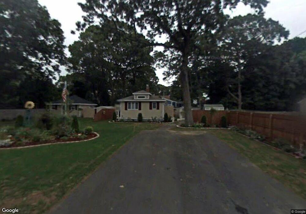
34 Davidson Rd Warwick, RI 02886
Nausauket NeighborhoodEstimated Value: $353,000 - $446,000
2
Beds
1
Bath
800
Sq Ft
$520/Sq Ft
Est. Value
About This Home
This home is located at 34 Davidson Rd, Warwick, RI 02886 and is currently estimated at $415,724, approximately $519 per square foot. 34 Davidson Rd is a home located in Kent County with nearby schools including St Rose Of Lima School and Eleanor Briggs School.
Ownership History
Date
Name
Owned For
Owner Type
Purchase Details
Closed on
Mar 9, 2017
Sold by
Murray James K
Bought by
Davis Karen R
Current Estimated Value
Purchase Details
Closed on
Sep 11, 2006
Sold by
Root Deborah L
Bought by
Murray James K
Create a Home Valuation Report for This Property
The Home Valuation Report is an in-depth analysis detailing your home's value as well as a comparison with similar homes in the area
Home Values in the Area
Average Home Value in this Area
Purchase History
| Date | Buyer | Sale Price | Title Company |
|---|---|---|---|
| Davis Karen R | -- | None Available | |
| Davis Karen R | -- | None Available | |
| Murray James K | $124,000 | -- | |
| Murray James K | $124,000 | -- |
Source: Public Records
Mortgage History
| Date | Status | Borrower | Loan Amount |
|---|---|---|---|
| Previous Owner | Murray James K | $176,000 | |
| Previous Owner | Murray James K | $100,000 | |
| Previous Owner | Murray James K | $50,000 |
Source: Public Records
Tax History
| Year | Tax Paid | Tax Assessment Tax Assessment Total Assessment is a certain percentage of the fair market value that is determined by local assessors to be the total taxable value of land and additions on the property. | Land | Improvement |
|---|---|---|---|---|
| 2025 | $5,823 | $458,500 | $115,700 | $342,800 |
| 2024 | $5,047 | $348,800 | $96,900 | $251,900 |
| 2023 | $4,949 | $348,800 | $96,900 | $251,900 |
| 2022 | $4,660 | $248,800 | $75,000 | $173,800 |
| 2021 | $4,660 | $248,800 | $75,000 | $173,800 |
| 2020 | $4,660 | $248,800 | $75,000 | $173,800 |
| 2019 | $4,660 | $248,800 | $75,000 | $173,800 |
| 2018 | $4,164 | $200,200 | $75,000 | $125,200 |
| 2017 | $4,052 | $200,200 | $75,000 | $125,200 |
| 2016 | $4,052 | $200,200 | $75,000 | $125,200 |
| 2015 | $3,860 | $186,000 | $61,200 | $124,800 |
| 2014 | $3,731 | $186,000 | $61,200 | $124,800 |
| 2013 | $3,681 | $186,000 | $61,200 | $124,800 |
Source: Public Records
Map
Nearby Homes
- 20 Darrow Dr
- 110 Tiernan Ave
- 345 Nausauket Rd
- 132 Bakers Creek Rd
- 3524 W Shore Rd Unit 215
- 3524 W Shore Road Building C-704 Rd Unit C-704
- 45 Juniper Ave
- 45 Tourtelot Ave
- 11 Midway Dr
- 311 Capron Farm Dr
- 5 Barre Ct
- 84 Spruce St
- 3800 Post Rd Unit 4
- 3940 Post Rd Unit 26
- 3940 Post Rd Unit 3
- 74 Stephens Ave
- 62 Red Maple Ln
- 3976 Post Rd
- 6 Island View Dr
- 86 Red Maple Ln
- 32 Davidson Rd
- 69 Viewesta Rd
- 44 Davidson Rd
- 47 Tiernan Ave
- 21 Davidson Rd
- 57 Tiernan Ave
- 79 Viewesta Rd
- 29 Tiernan Ave
- 47 Davidson Rd
- 54 Davidson Rd
- 30 Summerland Rd
- 70 Viewesta Rd
- 50 Tiernan Ave
- 89 Viewesta Rd
- 23 Tiernan Ave
- 58 Viewesta Rd
- 58 Tiernan Ave
- 40 Tiernan Ave
- 55 Davidson Rd
- 78 Viewesta Rd
Your Personal Tour Guide
Ask me questions while you tour the home.