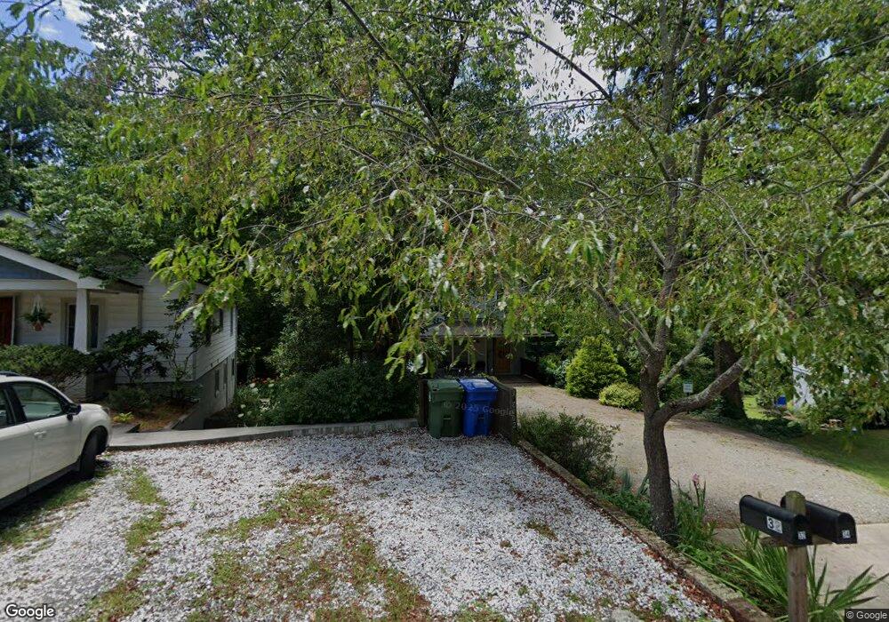
34 Dellwood St Asheville, NC 28806
West Asheville NeighborhoodEstimated Value: $473,000 - $668,000
3
Beds
2
Baths
1,316
Sq Ft
$443/Sq Ft
Est. Value
About This Home
This home is located at 34 Dellwood St, Asheville, NC 28806 and is currently estimated at $583,474, approximately $443 per square foot. 34 Dellwood St is a home located in Buncombe County with nearby schools including Hall Fletcher Elementary, Isaac Dickson Elementary, and Ira B Jones Elementary.
Ownership History
Date
Name
Owned For
Owner Type
Purchase Details
Closed on
May 15, 2019
Sold by
King David and King Melissa
Bought by
Care Property Management Llp
Current Estimated Value
Home Financials for this Owner
Home Financials are based on the most recent Mortgage that was taken out on this home.
Original Mortgage
$305,600
Outstanding Balance
$267,587
Interest Rate
4%
Mortgage Type
Future Advance Clause Open End Mortgage
Estimated Equity
$315,887
Purchase Details
Closed on
Jul 30, 2014
Sold by
York Dana St John and Stephens John
Bought by
King David and King Melissa
Create a Home Valuation Report for This Property
The Home Valuation Report is an in-depth analysis detailing your home's value as well as a comparison with similar homes in the area
Home Values in the Area
Average Home Value in this Area
Purchase History
| Date | Buyer | Sale Price | Title Company |
|---|---|---|---|
| Care Property Management Llp | -- | None Available | |
| King David | $3,000 | None Available |
Source: Public Records
Mortgage History
| Date | Status | Borrower | Loan Amount |
|---|---|---|---|
| Open | Care Property Management Llp | $305,600 |
Source: Public Records
Tax History Compared to Growth
Tax History
| Year | Tax Paid | Tax Assessment Tax Assessment Total Assessment is a certain percentage of the fair market value that is determined by local assessors to be the total taxable value of land and additions on the property. | Land | Improvement |
|---|---|---|---|---|
| 2025 | $3,944 | $381,800 | $105,700 | $276,100 |
| 2024 | $3,944 | $381,800 | $105,700 | $276,100 |
| 2023 | $3,944 | $381,800 | $105,700 | $276,100 |
| 2022 | $3,807 | $381,800 | $0 | $0 |
| 2021 | $3,807 | $381,800 | $0 | $0 |
| 2020 | $3,147 | $292,000 | $0 | $0 |
| 2019 | $3,147 | $292,000 | $0 | $0 |
| 2018 | $3,147 | $292,000 | $0 | $0 |
| 2017 | $2,780 | $194,900 | $0 | $0 |
| 2016 | $2,395 | $194,900 | $0 | $0 |
| 2015 | -- | $0 | $0 | $0 |
Source: Public Records
Map
Nearby Homes
- 68 Vandalia Ave
- 34 Vandalia Ave
- 63 Vandalia Ave
- 20 Vandalia Ave
- 113 Burton St
- 69 Branning St
- 135 Westwood Place
- 99999 Millbrook Rd
- 219 Fayetteville St
- 99999 Edgar St Unit 4 lots
- 52 Boyd Ave
- 27 Ruslan Dr
- 37 Bryant St
- 202 Westwood Place
- 81 Tremont St
- 85 Tremont St
- 77 Tremont St
- 43 Argyle Ln
- 31 Westwood Place
- 119 Richland St
- 32 Dellwood St
- 38 Dellwood St
- 28 Dellwood St
- 45 Wilmington St
- 41 Wilmington St
- 40 Dellwood St
- 47 Wilmington St
- 24 Dellwood St
- 39 Wilmington St
- 49 Wilmington St
- 49 Wilmington St Unit 13
- 35 Dellwood St
- 42 Dellwood St
- 37 Wilmington St
- 51 Wilmington St
- 39 Dellwood St
- 35 Wilmington St
- 16 Dellwood St Unit 19
- 16 Dellwood St
- 54 Vandalia Ave