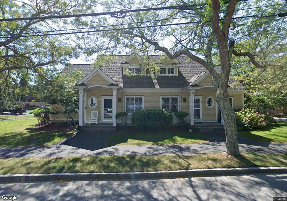
34 Depot Ave Unit 7 Falmouth, MA 02540
Falmouth Village NeighborhoodEstimated Value: $784,000 - $916,000
3
Beds
3
Baths
1,500
Sq Ft
$559/Sq Ft
Est. Value
About This Home
This home is located at 34 Depot Ave Unit 7, Falmouth, MA 02540 and is currently estimated at $838,656, approximately $559 per square foot. 34 Depot Ave Unit 7 is a home located in Barnstable County with nearby schools including Mullen-Hall School, Lawrence School, and Morse Pond School.
Ownership History
Date
Name
Owned For
Owner Type
Purchase Details
Closed on
Jan 26, 2012
Sold by
Eydenberg Janis R
Bought by
Janis R Eydenberg T R and Janis Eydenberg
Current Estimated Value
Purchase Details
Closed on
Nov 19, 2004
Sold by
Lovett John and Lovett Susan A
Bought by
Eydenberg Janis R
Home Financials for this Owner
Home Financials are based on the most recent Mortgage that was taken out on this home.
Original Mortgage
$150,000
Interest Rate
5.8%
Mortgage Type
Purchase Money Mortgage
Create a Home Valuation Report for This Property
The Home Valuation Report is an in-depth analysis detailing your home's value as well as a comparison with similar homes in the area
Home Values in the Area
Average Home Value in this Area
Purchase History
| Date | Buyer | Sale Price | Title Company |
|---|---|---|---|
| Janis R Eydenberg T R | -- | -- | |
| Eydenberg Janis R | $450,000 | -- |
Source: Public Records
Mortgage History
| Date | Status | Borrower | Loan Amount |
|---|---|---|---|
| Previous Owner | Eydenberg Janis R | $150,000 |
Source: Public Records
Tax History Compared to Growth
Tax History
| Year | Tax Paid | Tax Assessment Tax Assessment Total Assessment is a certain percentage of the fair market value that is determined by local assessors to be the total taxable value of land and additions on the property. | Land | Improvement |
|---|---|---|---|---|
| 2025 | $3,545 | $603,900 | $0 | $603,900 |
| 2024 | $3,836 | $610,900 | $0 | $610,900 |
| 2023 | $3,172 | $458,400 | $0 | $458,400 |
| 2022 | $3,349 | $416,000 | $0 | $416,000 |
| 2021 | $3,384 | $398,100 | $0 | $398,100 |
| 2020 | $3,420 | $398,100 | $0 | $398,100 |
| 2019 | $3,280 | $383,200 | $0 | $383,200 |
| 2018 | $3,168 | $368,400 | $0 | $368,400 |
| 2017 | $3,194 | $374,400 | $0 | $374,400 |
| 2016 | $2,827 | $337,700 | $0 | $337,700 |
| 2015 | $2,766 | $337,700 | $0 | $337,700 |
| 2014 | $2,813 | $345,100 | $0 | $345,100 |
Source: Public Records
Map
Nearby Homes
- 71 Main St
- 30 Katherine Lee Bates Rd
- 98 Main St
- 98 Main St Unit 1
- 13 Two Ponds Rd
- 33 Oakwood Ave
- 63 Two Ponds Rd
- 57 Meadow Ln
- 480 Main St Unit 1
- 110 Dillingham Ave Unit 322
- 133 Mariners Ln
- 35 Pleasant View Ave
- 276 Shore St
- 121 Allen Ave
- 354 Gifford St Unit 6
- 354 Gifford St Unit 5
- 354 Gifford St Unit 2
- 38 Landfall Unit 38
- 38 Landfall
- 86 Ships Watch
- 34 Depot Ave Unit 14
- 34 Depot Ave Unit 13
- 34 Depot Ave Unit 12
- 34 Depot Ave Unit 11
- 34 Depot Ave Unit 10
- 34 Depot Ave Unit 9
- 34 Depot Ave Unit 8
- 34 Depot Ave Unit 6
- 34 Depot Ave Unit 5
- 34 Depot Ave Unit 4
- 34 Depot Ave Unit 3
- 34 Depot Ave Unit 2
- 34 Depot Ave Unit 1
- 34 Depot Ave
- 54 Depot Ave
- 24 Depot Ave
- 14 Depot Ave
- 54 & 0 Depot Ave
- 45 Simpson Ln
- 29 Locust St