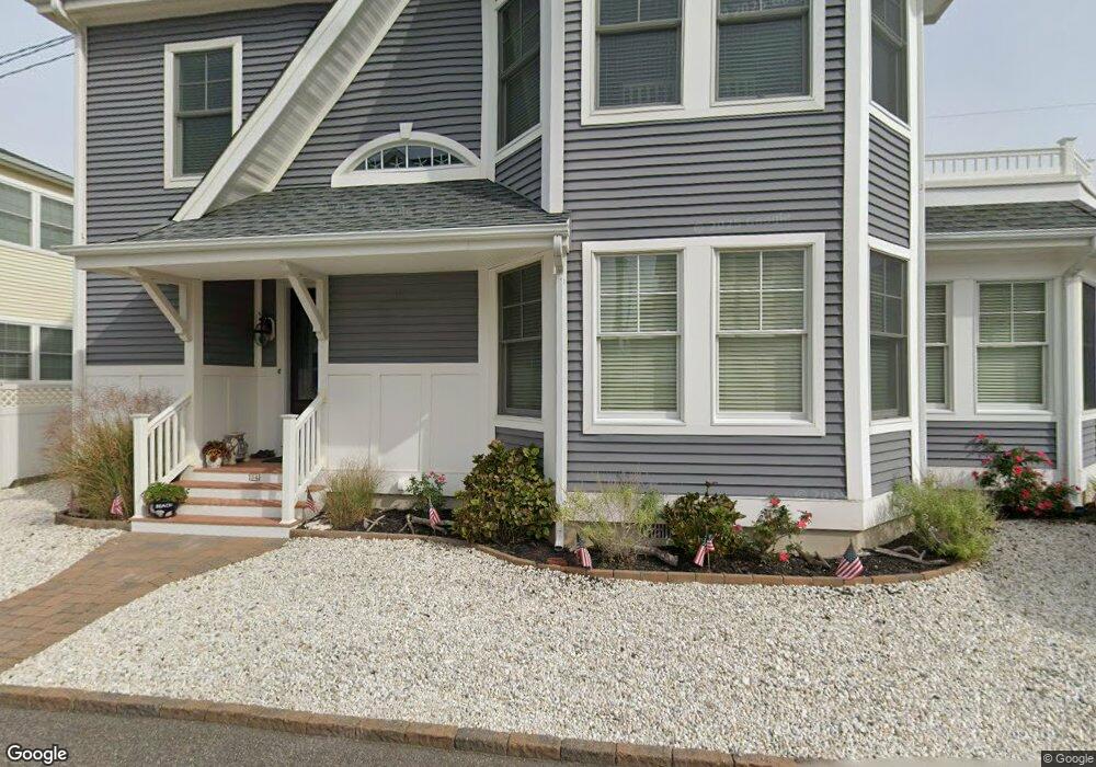
34 E Colony Rd Lavallette, NJ 08735
Dover Beaches North NeighborhoodEstimated Value: $1,311,847 - $1,640,000
4
Beds
4
Baths
2,314
Sq Ft
$618/Sq Ft
Est. Value
About This Home
This home is located at 34 E Colony Rd, Lavallette, NJ 08735 and is currently estimated at $1,430,712, approximately $618 per square foot. 34 E Colony Rd is a home located in Ocean County.
Ownership History
Date
Name
Owned For
Owner Type
Purchase Details
Closed on
Aug 18, 2008
Sold by
Brogan Michael
Bought by
Brogan Michael P and Brogan Ellen M
Current Estimated Value
Home Financials for this Owner
Home Financials are based on the most recent Mortgage that was taken out on this home.
Original Mortgage
$300,000
Interest Rate
6.4%
Mortgage Type
New Conventional
Purchase Details
Closed on
Jan 21, 1998
Sold by
Brogan George and Brogan Leo T
Bought by
Brogan Michael
Create a Home Valuation Report for This Property
The Home Valuation Report is an in-depth analysis detailing your home's value as well as a comparison with similar homes in the area
Home Values in the Area
Average Home Value in this Area
Purchase History
| Date | Buyer | Sale Price | Title Company |
|---|---|---|---|
| Brogan Michael P | -- | Hartford National Title Inc | |
| Brogan Michael | $61,000 | -- |
Source: Public Records
Mortgage History
| Date | Status | Borrower | Loan Amount |
|---|---|---|---|
| Closed | Brogan Michael P | $300,000 |
Source: Public Records
Tax History
| Year | Tax Paid | Tax Assessment Tax Assessment Total Assessment is a certain percentage of the fair market value that is determined by local assessors to be the total taxable value of land and additions on the property. | Land | Improvement |
|---|---|---|---|---|
| 2025 | $14,985 | $822,900 | $470,000 | $352,900 |
| 2024 | $14,244 | $822,900 | $470,000 | $352,900 |
Source: Public Records
Map
Nearby Homes
- 155 W Atlantic Way
- 53 E Bay Way
- 170 W Beach Way
- 109 W Tarpon Way
- 100 3rd Ave
- 111 W Marlin Way
- 348 Venice Dr
- 34 E Crane Way
- 417 Delray Dr
- 20 E Bonita Way
- 201 5th Ave
- 33 E Penguin Way
- 545 New Jersey 35
- 254 Harbor Ct
- 354 Naples Ct
- 459 Boca Raton Dr
- 515 New Jersey 35
- 3201 Route 35 N Unit B
- 351 W Bayview Dr
- 21 E Dune Way Unit 121
Your Personal Tour Guide
Ask me questions while you tour the home.