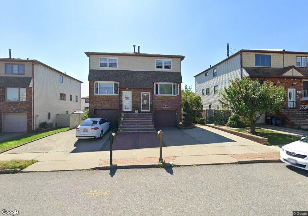
34 E Macon Ave Staten Island, NY 10308
Great Kills NeighborhoodEstimated Value: $683,372 - $818,000
Studio
4
Baths
1,440
Sq Ft
$534/Sq Ft
Est. Value
About This Home
This home is located at 34 E Macon Ave, Staten Island, NY 10308 and is currently estimated at $769,093, approximately $534 per square foot. 34 E Macon Ave is a home located in Richmond County with nearby schools including P.S. 32 The Gifford School, I.S. 075 Frank D. Paulo, and Susan E Wagner High School.
Ownership History
Date
Name
Owned For
Owner Type
Purchase Details
Closed on
Aug 5, 2005
Sold by
Loverde Gerard and Loverde Victoria
Bought by
Conti Justin P and Conti Vasiliki
Current Estimated Value
Home Financials for this Owner
Home Financials are based on the most recent Mortgage that was taken out on this home.
Original Mortgage
$420,000
Outstanding Balance
$218,358
Interest Rate
5.5%
Mortgage Type
Fannie Mae Freddie Mac
Estimated Equity
$550,735
Create a Home Valuation Report for This Property
The Home Valuation Report is an in-depth analysis detailing your home's value as well as a comparison with similar homes in the area
Home Values in the Area
Average Home Value in this Area
Purchase History
| Date | Buyer | Sale Price | Title Company |
|---|---|---|---|
| Conti Justin P | $470,000 | Commonwealth Title |
Source: Public Records
Mortgage History
| Date | Status | Borrower | Loan Amount |
|---|---|---|---|
| Open | Conti Justin P | $420,000 |
Source: Public Records
Tax History
| Year | Tax Paid | Tax Assessment Tax Assessment Total Assessment is a certain percentage of the fair market value that is determined by local assessors to be the total taxable value of land and additions on the property. | Land | Improvement |
|---|---|---|---|---|
| 2025 | $5,862 | $42,840 | $5,449 | $37,391 |
| 2024 | $5,874 | $35,820 | $6,148 | $29,672 |
| 2023 | $5,752 | $29,722 | $5,177 | $24,545 |
| 2022 | $5,629 | $36,120 | $7,200 | $28,920 |
| 2021 | $5,724 | $33,600 | $7,200 | $26,400 |
| 2020 | $5,423 | $33,960 | $7,200 | $26,760 |
| 2019 | $5,039 | $30,840 | $7,200 | $23,640 |
| 2018 | $4,751 | $24,768 | $5,828 | $18,940 |
| 2017 | $4,735 | $24,696 | $6,373 | $18,323 |
| 2016 | $4,461 | $23,864 | $6,172 | $17,692 |
| 2015 | $3,771 | $22,514 | $5,297 | $17,217 |
| 2014 | $3,771 | $21,240 | $6,000 | $15,240 |
Source: Public Records
Map
Nearby Homes
- 969 Armstrong Ave
- 367 Gurley Ave
- 359 Gurley Ave
- 76 E Brandis Ave
- 360 Barlow Ave Unit 1
- 360 Barlow Ave Unit 40A
- 360 Barlow Ave Unit 29
- 360 Barlow Ave Unit 32
- 360 Barlow Ave Unit 24
- 1069 Armstrong Ave
- 385 Brookfield Ave
- 309 Abingdon Ave
- 450 Doane Ave
- 483 Barlow Ave
- 890 Armstrong Ave Unit 2-3
- 892 Armstrong Ave Unit 23
- 28 Fenway Cir Unit 2-2
- 287 Abingdon Ave
- 88 Cortelyou Ave
- 354 Doane Ave
- 32 E Macon Ave
- 40 E Macon Ave
- 28 E Macon Ave
- 42 E Macon Ave
- 26 E Macon Ave
- 391 Barlow Ave
- 395 Barlow Ave
- 389 Barlow Ave
- 22 E Macon Ave
- 397 Barlow Ave
- 387 Barlow Ave
- 977 Armstrong Ave
- 973 Armstrong Ave
- 981 Armstrong Ave
- 385 Barlow Ave
- 20 E Macon Ave
- 967 Armstrong Ave
- 381 Barlow Ave
- 18 E Macon Ave
- 41 E Macon Ave
Your Personal Tour Guide
Ask me questions while you tour the home.