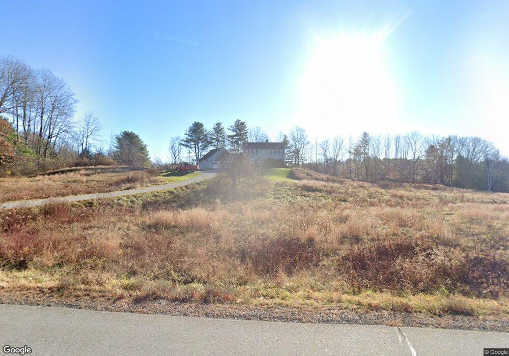
34 Files Rd Gorham, ME 04038
Estimated Value: $676,597 - $746,000
4
Beds
2
Baths
2,618
Sq Ft
$269/Sq Ft
Est. Value
About This Home
This home is located at 34 Files Rd, Gorham, ME 04038 and is currently estimated at $703,532, approximately $268 per square foot. 34 Files Rd is a home with nearby schools including Village Elementary School, Gorham Middle School, and Gorham High School.
Create a Home Valuation Report for This Property
The Home Valuation Report is an in-depth analysis detailing your home's value as well as a comparison with similar homes in the area
Home Values in the Area
Average Home Value in this Area
Tax History
| Year | Tax Paid | Tax Assessment Tax Assessment Total Assessment is a certain percentage of the fair market value that is determined by local assessors to be the total taxable value of land and additions on the property. | Land | Improvement |
|---|---|---|---|---|
| 2025 | $7,351 | $496,700 | $129,400 | $367,300 |
| 2024 | $7,301 | $496,700 | $129,400 | $367,300 |
| 2023 | $6,830 | $496,700 | $129,400 | $367,300 |
| 2022 | $6,383 | $496,700 | $129,400 | $367,300 |
| 2021 | $5,453 | $281,100 | $88,800 | $192,300 |
| 2020 | $5,341 | $281,100 | $88,800 | $192,300 |
| 2019 | $5,327 | $281,100 | $88,800 | $192,300 |
| 2018 | $5,116 | $281,100 | $88,800 | $192,300 |
| 2017 | $4,807 | $281,100 | $88,800 | $192,300 |
| 2016 | $4,779 | $281,100 | $88,800 | $192,300 |
| 2015 | $4,582 | $281,100 | $88,800 | $192,300 |
| 2014 | $4,406 | $253,200 | $81,500 | $171,700 |
| 2013 | $4,380 | $253,200 | $81,500 | $171,700 |
Source: Public Records
Map
Nearby Homes
- 16 Daniel St
- 4 Musket Dr
- 42 Brandons Way
- 866 Parker Farm Lot B Rd
- 866 Parker Farm Lot A Rd
- 866 Parker Farm Rd Unit A
- 866 Parker Farm Rd Unit B
- 116 Dingley Spring Rd
- 35 Rust Rd
- 555 Fort Hill Rd
- 4 Blueberry Ln Unit 4
- 63 Ossipee Trail E
- 696 Fort Hill Rd
- 66 Ossipee Trail East Trail E
- 27 Ossipee Trail E Unit 1
- 697 Fort Hill Rd
- 4 Cortland Place Unit 3
- 16 Norway Rd
- 1 Cortland Place Unit 7
- 68 Woodbrey Ln
Your Personal Tour Guide
Ask me questions while you tour the home.