34 Fir Tree Ln Clayton, GA 30525
Estimated Value: $348,293 - $588,000
3
Beds
2
Baths
1,512
Sq Ft
$289/Sq Ft
Est. Value
About This Home
This home is located at 34 Fir Tree Ln, Clayton, GA 30525 and is currently estimated at $436,573, approximately $288 per square foot. 34 Fir Tree Ln is a home located in Rabun County with nearby schools including Rabun County Primary School and Rabun County High School.
Ownership History
Date
Name
Owned For
Owner Type
Purchase Details
Closed on
Sep 1, 1999
Bought by
Dolvin William Robert
Current Estimated Value
Purchase Details
Closed on
Sep 1, 1997
Purchase Details
Closed on
Nov 1, 1996
Purchase Details
Closed on
Sep 1, 1992
Purchase Details
Closed on
Sep 1, 1981
Create a Home Valuation Report for This Property
The Home Valuation Report is an in-depth analysis detailing your home's value as well as a comparison with similar homes in the area
Home Values in the Area
Average Home Value in this Area
Purchase History
| Date | Buyer | Sale Price | Title Company |
|---|---|---|---|
| Dolvin William Robert | $123,000 | -- | |
| Dolvin William Robert | $123,000 | -- | |
| -- | $75,000 | -- | |
| -- | $75,000 | -- | |
| -- | -- | -- | |
| -- | -- | -- | |
| -- | $9,000 | -- | |
| -- | $9,000 | -- | |
| -- | -- | -- | |
| -- | -- | -- |
Source: Public Records
Tax History Compared to Growth
Tax History
| Year | Tax Paid | Tax Assessment Tax Assessment Total Assessment is a certain percentage of the fair market value that is determined by local assessors to be the total taxable value of land and additions on the property. | Land | Improvement |
|---|---|---|---|---|
| 2025 | $1,310 | $81,614 | $16,100 | $65,514 |
| 2024 | $1,247 | $77,685 | $16,100 | $61,585 |
| 2023 | $1,266 | $69,156 | $11,500 | $57,656 |
| 2022 | $1,230 | $67,191 | $11,500 | $55,691 |
| 2021 | $1,127 | $60,118 | $11,500 | $48,618 |
| 2020 | $1,076 | $55,477 | $11,500 | $43,977 |
| 2019 | $1,084 | $55,477 | $11,500 | $43,977 |
| 2018 | $1,088 | $55,477 | $11,500 | $43,977 |
| 2017 | $1,043 | $55,477 | $11,500 | $43,977 |
| 2016 | $1,046 | $55,477 | $11,500 | $43,977 |
| 2015 | $1,143 | $59,340 | $11,500 | $47,840 |
| 2014 | $1,149 | $59,340 | $11,500 | $47,840 |
Source: Public Records
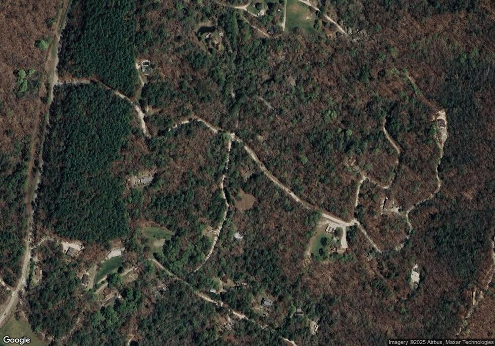
Map
Nearby Homes
- 0 Nichols at Tate City Ln Unit 6 10559154
- 32 Hill Camp Ln
- 22 Cajun Loop
- 321 Finch Dr
- 0 Persimmon Rd Unit 20136006
- 188 Magnolia Place Trail
- 96 Fair View Dr
- 689 Waterfall Dr
- LOT 6 & 6B Steepway Ln
- 29 Acorn Creek Rd
- 0 Waterfall Dr Unit LOT G1 10436783
- 66 Andrews Ln
- 608 Winterberry Trail
- 0 Highway 76 E Unit 7628537
- 0 Highway 76 E Unit 10566724
- 0 Highway 76 E Unit 10579447
- LOT C2 Grey Fox Trail
- LOT C1 Grey Fox Trail
- L-3 High Pointe Dr Unit L-3
- J35 Bent Grass Way
- 51 Fir Tree Ln
- 369 Turkey Mountain Rd
- 124 Turkey Mountain Rd
- 515 Turkey Mountain Rd
- 249 Fir Tree Ln
- 265 Turkey Mountain Rd
- 0 Fir Tree Ln Unit 7628650
- 176 Fir Tree Ln
- 549 Turkey Mountain Rd
- 549 Turkey Mountain Rd Unit 1.97
- 125 Turkey Mountain Rd
- 111 Gobbler Ln
- 593 Turkey Mountain Rd
- 700 Persimmon Rd
- 464 Turkey Mountain Rd
- 228 Slippery Rock Ln
- 267 Turkey Mountain Rd
- 524 Turkey Mountain Rd
- 52 Teppeas
- 408 Slippery Rock Ln