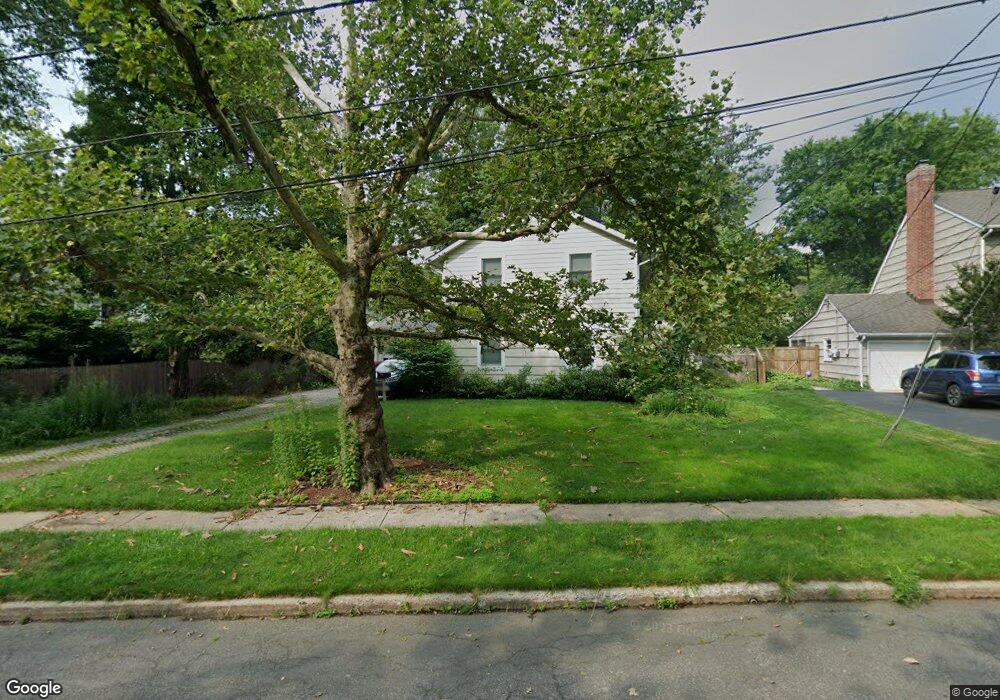
34 Forester Dr Princeton, NJ 08540
Estimated Value: $1,197,000 - $1,375,000
3
Beds
2
Baths
2,497
Sq Ft
$509/Sq Ft
Est. Value
About This Home
This home is located at 34 Forester Dr, Princeton, NJ 08540 and is currently estimated at $1,272,171, approximately $509 per square foot. 34 Forester Dr is a home located in Mercer County with nearby schools including Riverside Elementary School, Princeton Middle School, and Princeton High School.
Ownership History
Date
Name
Owned For
Owner Type
Purchase Details
Closed on
Sep 27, 2010
Sold by
Kwitny Wendy
Bought by
Peres Jose Dias and Pereira Teresa Yazbek
Current Estimated Value
Home Financials for this Owner
Home Financials are based on the most recent Mortgage that was taken out on this home.
Original Mortgage
$408,000
Outstanding Balance
$2,992
Interest Rate
3.92%
Mortgage Type
New Conventional
Estimated Equity
$1,269,179
Purchase Details
Closed on
Mar 22, 2004
Sold by
Burrows Susan
Bought by
Switny Wendy
Purchase Details
Closed on
Sep 21, 1999
Sold by
Burrows Mark
Bought by
Burrows Susan
Home Financials for this Owner
Home Financials are based on the most recent Mortgage that was taken out on this home.
Original Mortgage
$228,000
Interest Rate
7.83%
Purchase Details
Closed on
Sep 5, 1997
Sold by
Deceased Anne Shepherd
Bought by
Burrows Mark and Burrows Susan
Home Financials for this Owner
Home Financials are based on the most recent Mortgage that was taken out on this home.
Original Mortgage
$184,000
Interest Rate
7.19%
Create a Home Valuation Report for This Property
The Home Valuation Report is an in-depth analysis detailing your home's value as well as a comparison with similar homes in the area
Home Values in the Area
Average Home Value in this Area
Purchase History
| Date | Buyer | Sale Price | Title Company |
|---|---|---|---|
| Peres Jose Dias | $510,000 | First American Title Ins Co | |
| Switny Wendy | $450,000 | -- | |
| Burrows Susan | $250,000 | -- | |
| Burrows Mark | $230,000 | -- |
Source: Public Records
Mortgage History
| Date | Status | Borrower | Loan Amount |
|---|---|---|---|
| Open | Peres Jose Dias | $408,000 | |
| Previous Owner | Burrows Susan | $228,000 | |
| Previous Owner | Burrows Mark | $184,000 |
Source: Public Records
Tax History
| Year | Tax Paid | Tax Assessment Tax Assessment Total Assessment is a certain percentage of the fair market value that is determined by local assessors to be the total taxable value of land and additions on the property. | Land | Improvement |
|---|---|---|---|---|
| 2025 | $18,447 | $692,700 | $447,000 | $245,700 |
| 2024 | $17,414 | $692,700 | $447,000 | $245,700 |
| 2023 | $17,414 | $692,700 | $447,000 | $245,700 |
| 2022 | $16,846 | $692,700 | $447,000 | $245,700 |
| 2021 | $16,895 | $692,700 | $447,000 | $245,700 |
| 2020 | $16,763 | $692,700 | $447,000 | $245,700 |
| 2019 | $16,431 | $692,700 | $447,000 | $245,700 |
| 2018 | $16,154 | $692,700 | $447,000 | $245,700 |
| 2017 | $15,932 | $692,700 | $447,000 | $245,700 |
| 2016 | $15,683 | $692,700 | $447,000 | $245,700 |
| 2015 | $12,969 | $586,300 | $382,000 | $204,300 |
| 2014 | $12,811 | $586,300 | $382,000 | $204,300 |
Source: Public Records
Map
Nearby Homes
- 300 Western Way
- 175 Cedar Ln
- 391 Nassau St Unit 2
- 1 Markham Rd Unit 1D
- 59 Longview Dr
- 32 Gordon Way Unit 2
- 62 Bainbridge St
- 7 Gordon Way
- 40 Dogwood Ln
- 17 Aiken Ave
- 569 Riverside Dr
- 48 Roper Rd
- 380 Franklin Ave
- 15 Chestnut St
- 57 Moran Ave
- 401 Sayre Dr
- 35 Richard Ct
- 44 Park Place Unit 1
- 202 Linden Ln
- 45 Hedge Row Rd
Your Personal Tour Guide
Ask me questions while you tour the home.