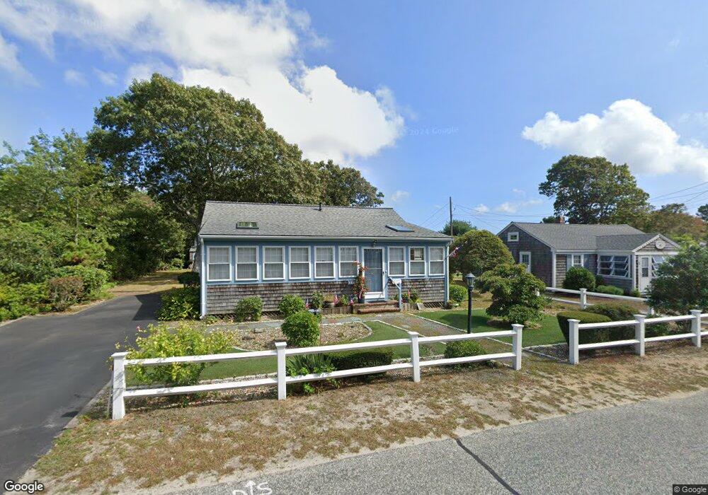
34 Glendon Rd Dennis Port, MA 02639
Dennis Port NeighborhoodEstimated Value: $607,000 - $681,000
3
Beds
1
Bath
816
Sq Ft
$807/Sq Ft
Est. Value
About This Home
This home is located at 34 Glendon Rd, Dennis Port, MA 02639 and is currently estimated at $658,482, approximately $806 per square foot. 34 Glendon Rd is a home located in Barnstable County with nearby schools including Dennis-Yarmouth Regional High School and St. Pius X. School.
Ownership History
Date
Name
Owned For
Owner Type
Purchase Details
Closed on
Jul 7, 2025
Sold by
P M G Rt and Genovese
Bought by
P B & Mary A Genovese Ret and Genovese
Current Estimated Value
Purchase Details
Closed on
Sep 3, 2009
Sold by
Genovese Peter B and Genovese Mary A
Bought by
Genovese Mary A and Genovese Peter B
Purchase Details
Closed on
Oct 7, 1983
Bought by
Pmg Rt
Create a Home Valuation Report for This Property
The Home Valuation Report is an in-depth analysis detailing your home's value as well as a comparison with similar homes in the area
Home Values in the Area
Average Home Value in this Area
Purchase History
| Date | Buyer | Sale Price | Title Company |
|---|---|---|---|
| P B & Mary A Genovese Ret | -- | -- | |
| Genovese Mary A | -- | -- | |
| Genovese Mary A | -- | -- | |
| Pmg Rt | -- | -- |
Source: Public Records
Tax History Compared to Growth
Tax History
| Year | Tax Paid | Tax Assessment Tax Assessment Total Assessment is a certain percentage of the fair market value that is determined by local assessors to be the total taxable value of land and additions on the property. | Land | Improvement |
|---|---|---|---|---|
| 2025 | $2,684 | $619,800 | $316,200 | $303,600 |
| 2024 | $2,512 | $572,100 | $304,100 | $268,000 |
| 2023 | $2,429 | $520,200 | $276,400 | $243,800 |
| 2022 | $2,218 | $396,100 | $217,900 | $178,200 |
| 2021 | $2,169 | $359,700 | $213,600 | $146,100 |
| 2020 | $2,112 | $346,200 | $213,600 | $132,600 |
| 2019 | $4,878 | $352,800 | $227,400 | $125,400 |
| 2018 | $2,104 | $331,800 | $216,400 | $115,400 |
| 2017 | $4,159 | $311,000 | $199,300 | $111,700 |
| 2016 | $1,850 | $283,300 | $188,000 | $95,300 |
| 2015 | $1,813 | $283,300 | $188,000 | $95,300 |
| 2014 | $1,727 | $271,900 | $176,600 | $95,300 |
Source: Public Records
Map
Nearby Homes
- 56 Uncle Rolf Rd
- 230 Old Wharf Rd Unit 272
- 154 Old Wharf Rd Unit 14
- 262 Old Wharf Rd Unit 67
- 262 Old Wharf Rd Unit 5
- 262 Old Wharf Rd Unit 5
- 262 Old Wharf Rd Unit 87
- 217 Old Wharf Rd Unit 64
- 241 Old Wharf Rd Unit 127
- 18 Holiday Ln
- 37 Beach Hills Rd
- 37-A Beach Hills Rd
- 112 Old Wharf Rd Unit E4
- 10 Grindell Ave
- 22 Ferncliff Rd
- 27 Mayflower Ln
- 104 Toms Path
- 104 Toms Path
- 4 Coffey Ln
- 125 Main St Unit 3