34 High Point Commons Marlborough, CT 06447
Middle Haddam NeighborhoodEstimated Value: $554,000 - $746,000
4
Beds
3
Baths
3,417
Sq Ft
$185/Sq Ft
Est. Value
About This Home
This home is located at 34 High Point Commons, Marlborough, CT 06447 and is currently estimated at $633,090, approximately $185 per square foot. 34 High Point Commons is a home with nearby schools including Memorial School, Center Elementary School, and East Hampton Middle School.
Ownership History
Date
Name
Owned For
Owner Type
Purchase Details
Closed on
Sep 24, 1998
Sold by
Stone Elliot
Bought by
Zimmerman Michael and Zimmerman Wendy B
Current Estimated Value
Create a Home Valuation Report for This Property
The Home Valuation Report is an in-depth analysis detailing your home's value as well as a comparison with similar homes in the area
Home Values in the Area
Average Home Value in this Area
Purchase History
| Date | Buyer | Sale Price | Title Company |
|---|---|---|---|
| Zimmerman Michael | $54,000 | -- | |
| Zimmerman Michael | $54,000 | -- |
Source: Public Records
Mortgage History
| Date | Status | Borrower | Loan Amount |
|---|---|---|---|
| Open | Zimmerman Michael | $297,500 | |
| Closed | Zimmerman Michael | $162,000 | |
| Closed | Zimmerman Michael | $8,259 |
Source: Public Records
Tax History Compared to Growth
Tax History
| Year | Tax Paid | Tax Assessment Tax Assessment Total Assessment is a certain percentage of the fair market value that is determined by local assessors to be the total taxable value of land and additions on the property. | Land | Improvement |
|---|---|---|---|---|
| 2025 | $11,626 | $292,780 | $74,630 | $218,150 |
| 2024 | $11,137 | $292,780 | $74,630 | $218,150 |
| 2023 | $10,558 | $292,780 | $74,630 | $218,150 |
| 2022 | $10,148 | $292,780 | $74,630 | $218,150 |
| 2021 | $10,110 | $292,780 | $74,630 | $218,150 |
| 2020 | $9,869 | $297,800 | $74,630 | $223,170 |
| 2019 | $9,273 | $279,800 | $55,290 | $224,510 |
| 2018 | $8,763 | $279,800 | $55,290 | $224,510 |
| 2017 | $8,763 | $279,800 | $55,290 | $224,510 |
| 2016 | $8,237 | $279,800 | $55,290 | $224,510 |
| 2015 | $8,139 | $292,990 | $67,330 | $225,660 |
| 2014 | $7,082 | $292,990 | $67,330 | $225,660 |
Source: Public Records
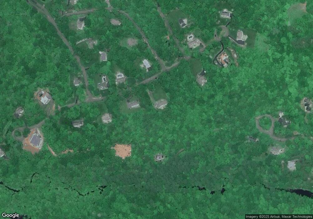
Map
Nearby Homes
- 29 High Point Dr
- 20 Keighley Pond Rd
- 58 Middle Haddam Rd
- 9 Long Hill Rd
- 0 Gadpouch Rd
- 8 Aldens Crossing
- 76 Maple Rd
- 46 Chestnut Hill Rd
- 0 Jobs Pond Rd
- 92 Pepperidge Rd
- 28 Childs Rd
- 291 Hog Hill Rd
- 36 Champion Hill Rd
- 11 Nutmeg Ln
- 76 Skinner St
- 6 Carriage Dr
- 0 Gildersleeve Rd
- 171 Bartlett St
- 37 S Main St
- 95 Training Hill Rd
- 24 High Point Dr
- 7 High Point Dr
- 40 Fern Ln
- 33 Fern Ln
- 33 High Point Commons
- 41 Leesville Rd
- 11 High Point Dr
- 40 Lena Ln Unit FERN
- 29 High Point Commons
- 37 Lena Ln Unit FERN
- 33 Lena Ln Unit FERN
- 5 Fern Ln
- 28 Lena Ln Unit FERN
- 10 Fern Ln
- 21 Lena Ln Unit FERN
- 23 High Point Dr
- 22 Lena Ln Unit FERN
- 17 Lena Ln Unit FERN
- 18 Lena Ln Unit FERN
- 16 Lena Ln Unit FERN