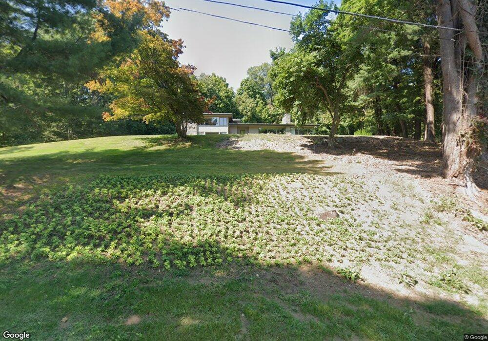
34 High Ridge Rd West Hartford, CT 06117
Estimated Value: $430,000 - $973,000
4
Beds
4
Baths
3,281
Sq Ft
$235/Sq Ft
Est. Value
About This Home
This home is located at 34 High Ridge Rd, West Hartford, CT 06117 and is currently estimated at $770,009, approximately $234 per square foot. 34 High Ridge Rd is a home located in Hartford County with nearby schools including Norfeldt School, King Philip Middle School, and Hall High School.
Ownership History
Date
Name
Owned For
Owner Type
Purchase Details
Closed on
Sep 6, 2011
Sold by
Stich Peter and Convicer Richard
Bought by
Moster Kimberly M and Moster Peter E
Current Estimated Value
Home Financials for this Owner
Home Financials are based on the most recent Mortgage that was taken out on this home.
Original Mortgage
$417,000
Outstanding Balance
$289,081
Interest Rate
4.52%
Estimated Equity
$480,928
Purchase Details
Closed on
Jul 26, 1995
Sold by
Rinehart Richard and Rinehart Nancy
Bought by
Smith E Bret and Smith Amanda
Create a Home Valuation Report for This Property
The Home Valuation Report is an in-depth analysis detailing your home's value as well as a comparison with similar homes in the area
Home Values in the Area
Average Home Value in this Area
Purchase History
| Date | Buyer | Sale Price | Title Company |
|---|---|---|---|
| Moster Kimberly M | $563,500 | -- | |
| Smith E Bret | $127,000 | -- |
Source: Public Records
Mortgage History
| Date | Status | Borrower | Loan Amount |
|---|---|---|---|
| Open | Smith E Bret | $417,000 |
Source: Public Records
Tax History Compared to Growth
Tax History
| Year | Tax Paid | Tax Assessment Tax Assessment Total Assessment is a certain percentage of the fair market value that is determined by local assessors to be the total taxable value of land and additions on the property. | Land | Improvement |
|---|---|---|---|---|
| 2025 | $17,786 | $397,180 | $129,920 | $267,260 |
| 2024 | $16,821 | $397,180 | $129,920 | $267,260 |
| 2023 | $16,253 | $397,180 | $129,920 | $267,260 |
| 2022 | $16,157 | $397,180 | $129,920 | $267,260 |
| 2021 | $15,105 | $356,090 | $129,920 | $226,170 |
| 2020 | $14,958 | $357,840 | $121,380 | $236,460 |
| 2019 | $14,958 | $357,840 | $121,380 | $236,460 |
| 2018 | $14,671 | $357,840 | $121,380 | $236,460 |
| 2017 | $14,686 | $357,840 | $121,380 | $236,460 |
| 2016 | $15,153 | $383,530 | $181,230 | $202,300 |
| 2015 | $14,875 | $388,290 | $181,230 | $207,060 |
| 2014 | $14,510 | $388,290 | $181,230 | $207,060 |
Source: Public Records
Map
Nearby Homes
- 6 Old Oak Rd
- 2 Ferncliff Dr
- 64 Avondale Rd
- 592 Mountain Rd Unit A
- 14 Gledhill Ln
- 124 High Ridge Rd
- 7 Mountainside Rd
- 162 Balfour Dr
- 37 Balfour Dr
- 2645 Albany Ave
- 21 Rushleigh Rd
- 15 Rushleigh Rd
- 124 Ferncliff Dr
- 123 Westmont St
- 64 Harvest Ln
- 2581 Albany Ave
- 100 Richmond Ln
- 53 Whitehill Dr
- 30 Farmstead Ln
- 62 Blue Ridge Ln
- 38 Mountain Brook Rd
- 26 High Ridge Rd
- 44 High Ridge Rd
- 33 Mountain Brook Rd
- 35 High Ridge Rd
- 25 High Ridge Rd
- 20 Mountain Brook Rd
- 45 High Ridge Rd
- 2795 Albany Ave
- 25 Old Brook Rd
- 2793 Albany Ave
- 15 High Ridge Rd
- 19 Old Brook Rd
- 2799 Albany Ave
- 15 Mountain Brook Rd
- 14 Mountain Brook Rd
- 2 Toll House Ln
- 54 Mountain Brook Rd
- 56 High Ridge Rd
- 3 Toll House Ln