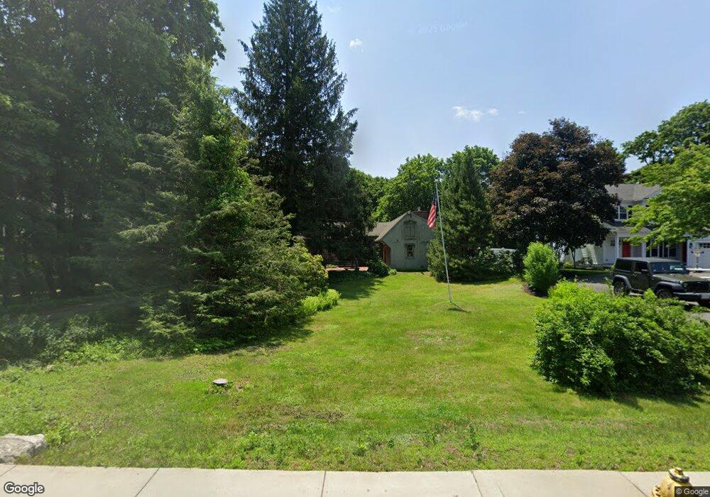
34 High Rock St Westwood, MA 02090
Estimated Value: $838,000 - $965,000
2
Beds
3
Baths
1,326
Sq Ft
$680/Sq Ft
Est. Value
About This Home
This home is located at 34 High Rock St, Westwood, MA 02090 and is currently estimated at $901,352, approximately $679 per square foot. 34 High Rock St is a home located in Norfolk County with nearby schools including Westwood High School, St Catherine Of Siena School, and Xaverian Brothers High School.
Ownership History
Date
Name
Owned For
Owner Type
Purchase Details
Closed on
Mar 12, 2019
Sold by
Sawin Lisa B
Bought by
Sawin Gary B and Sawin Lisa B
Current Estimated Value
Purchase Details
Closed on
Aug 2, 2018
Sold by
Beausang Jay E
Bought by
Sawin Lisa B and Sawin Gary B
Purchase Details
Closed on
Apr 10, 2007
Sold by
Beausang Barbara A and Beausang Joseph F
Bought by
Beausang Barbara A and Beausang Jay E
Create a Home Valuation Report for This Property
The Home Valuation Report is an in-depth analysis detailing your home's value as well as a comparison with similar homes in the area
Home Values in the Area
Average Home Value in this Area
Purchase History
| Date | Buyer | Sale Price | Title Company |
|---|---|---|---|
| Sawin Gary B | -- | -- | |
| Sawin Lisa B | -- | -- | |
| Beausang Barbara A | -- | -- |
Source: Public Records
Tax History Compared to Growth
Tax History
| Year | Tax Paid | Tax Assessment Tax Assessment Total Assessment is a certain percentage of the fair market value that is determined by local assessors to be the total taxable value of land and additions on the property. | Land | Improvement |
|---|---|---|---|---|
| 2025 | $9,603 | $750,200 | $476,000 | $274,200 |
| 2024 | $9,661 | $754,200 | $453,400 | $300,800 |
| 2023 | $8,536 | $596,900 | $377,800 | $219,100 |
| 2022 | $8,366 | $564,100 | $334,050 | $230,050 |
| 2021 | $8,266 | $559,250 | $318,250 | $241,000 |
| 2020 | $7,926 | $546,250 | $318,250 | $228,000 |
| 2019 | $7,540 | $514,650 | $302,950 | $211,700 |
| 2018 | $7,368 | $488,300 | $302,950 | $185,350 |
| 2017 | $6,935 | $475,950 | $302,950 | $173,000 |
| 2016 | $6,776 | $462,200 | $302,950 | $159,250 |
| 2015 | $7,002 | $459,450 | $302,950 | $156,500 |
Source: Public Records
Map
Nearby Homes
- 197 Hartford St
- 207 Hartford St
- 49 Fisher St
- 60 Warwick Dr
- 39 Bayley St
- 4 Shoestring Ln
- 132 Thatcher St
- 36 Kingswood Rd
- 401 Sandy Valley Rd
- 95 Arcadia Rd
- 618 Nahatan St
- 17 Royal Ct
- 20 Longmeadow Dr
- 66 Crestwood Cir
- 140 Burgess Ave
- 151 Arcadia Rd
- 26 Longmeadow Dr
- 43 Oriole Rd
- 470 Nahatan St
- 39 Westbrook Ln