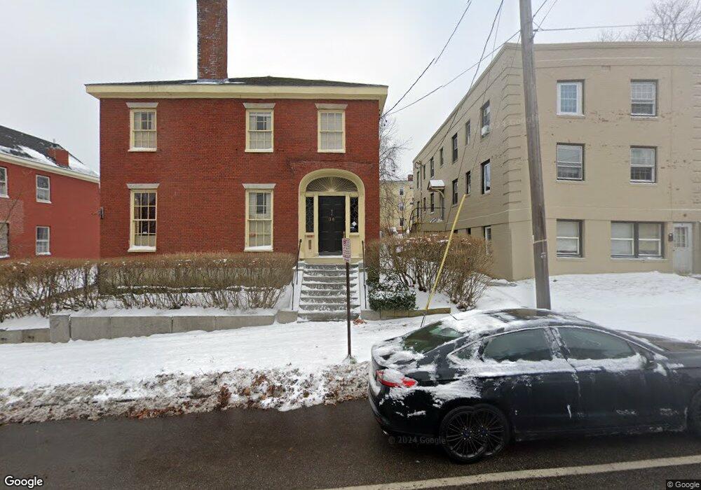
34 High St Portland, ME 04101
West End NeighborhoodEstimated Value: $1,044,845 - $1,445,000
3
Beds
2
Baths
4,402
Sq Ft
$282/Sq Ft
Est. Value
About This Home
This home is located at 34 High St, Portland, ME 04101 and is currently estimated at $1,242,961, approximately $282 per square foot. 34 High St is a home located in Cumberland County with nearby schools including Howard C. Reiche Community School, King Middle School, and Baxter Academy for Tech & Sciences.
Ownership History
Date
Name
Owned For
Owner Type
Purchase Details
Closed on
Dec 22, 2023
Sold by
Bevinn H Obrien T H and Bevinn Bailey
Bought by
Rancourt Michael A and Mccandless Elizabeth T
Current Estimated Value
Purchase Details
Closed on
Aug 23, 2019
Sold by
Obrien Bevinn H
Bought by
Bevinn H Obrien T H and Bevinn Obrien
Create a Home Valuation Report for This Property
The Home Valuation Report is an in-depth analysis detailing your home's value as well as a comparison with similar homes in the area
Home Values in the Area
Average Home Value in this Area
Purchase History
| Date | Buyer | Sale Price | Title Company |
|---|---|---|---|
| Rancourt Michael A | $926,000 | None Available | |
| Bevinn H Obrien T H | -- | -- |
Source: Public Records
Tax History Compared to Growth
Tax History
| Year | Tax Paid | Tax Assessment Tax Assessment Total Assessment is a certain percentage of the fair market value that is determined by local assessors to be the total taxable value of land and additions on the property. | Land | Improvement |
|---|---|---|---|---|
| 2024 | $11,613 | $773,700 | $299,100 | $474,600 |
| 2023 | $11,149 | $773,700 | $299,100 | $474,600 |
| 2022 | $10,530 | $773,700 | $299,100 | $474,600 |
| 2021 | $10,050 | $773,700 | $299,100 | $474,600 |
| 2020 | $10,107 | $433,600 | $169,800 | $263,800 |
| 2019 | $10,107 | $433,600 | $169,800 | $263,800 |
| 2018 | $9,747 | $433,600 | $169,800 | $263,800 |
| 2017 | $9,387 | $433,600 | $169,800 | $263,800 |
| 2016 | $9,153 | $433,600 | $169,800 | $263,800 |
| 2015 | $8,945 | $433,600 | $169,800 | $263,800 |
| 2014 | $8,672 | $433,600 | $169,800 | $263,800 |
Source: Public Records
Map
Nearby Homes
- 25 High St Unit 214
- 25 High St Unit 408
- 387 Commercial St Unit 710
- 387 Commercial St Unit 205
- 383 Commercial St
- 383 Commercial St Unit 405
- 383 Commercial St Unit 709
- 383 Commercial St Unit 315
- 32 State St Unit 1
- 88 Park St Unit 41
- 68 Pleasant St
- 40 Pleasant St
- 64 Gray St
- 83 Brackett St
- 28 Summer St
- 148 State St
- 547 Congress St Unit 6
- 15 Brown St Unit 405
- 15 Brown St Unit 206
- 48 Chandlers Wharf Boat Slip Unit 48
- 32 High St
- 38 High St
- 28 High St
- 48 High St Unit 2
- 48 High St Unit 1
- 24 High St
- 7 Nye St
- 92 Danforth St Unit 3.0
- 92 Danforth St
- 25 High St
- 25 High St Unit 203
- 25 High St Unit 307
- 25 High St Unit 309
- 25 High St Unit 403
- 25 High St Unit 204
- 25 High St Unit 506
- 25 High St Unit 401
- 25 High St Unit 303
- 25 High St Unit 411
- 25 High St Unit 511