34 Industrial Dr Hanover, PA 17331
Estimated Value: $347,189
4
Beds
--
Bath
2,040
Sq Ft
$170/Sq Ft
Est. Value
About This Home
This home is located at 34 Industrial Dr, Hanover, PA 17331 and is currently estimated at $347,189, approximately $170 per square foot. 34 Industrial Dr is a home located in York County with nearby schools including South Western Senior High School and Hope Christian School Of Hanover.
Ownership History
Date
Name
Owned For
Owner Type
Purchase Details
Closed on
Jan 16, 2020
Sold by
Baummer Anthony S and Baummer Robin R
Bought by
Baummer Anthony S and Baummer Robin R
Current Estimated Value
Purchase Details
Closed on
Jun 27, 2002
Sold by
Gty Inc
Bought by
Baummer Anthony S and Baummer Robin R
Create a Home Valuation Report for This Property
The Home Valuation Report is an in-depth analysis detailing your home's value as well as a comparison with similar homes in the area
Home Values in the Area
Average Home Value in this Area
Purchase History
| Date | Buyer | Sale Price | Title Company |
|---|---|---|---|
| Baummer Anthony S | -- | None Available | |
| Baummer Anthony S | $142,450 | -- |
Source: Public Records
Tax History Compared to Growth
Tax History
| Year | Tax Paid | Tax Assessment Tax Assessment Total Assessment is a certain percentage of the fair market value that is determined by local assessors to be the total taxable value of land and additions on the property. | Land | Improvement |
|---|---|---|---|---|
| 2025 | $9,358 | $277,690 | $111,370 | $166,320 |
| 2024 | $9,358 | $277,690 | $111,370 | $166,320 |
| 2023 | $9,192 | $277,690 | $111,370 | $166,320 |
| 2022 | $8,994 | $277,690 | $111,370 | $166,320 |
| 2021 | $8,503 | $277,690 | $111,370 | $166,320 |
| 2020 | $8,503 | $277,690 | $111,370 | $166,320 |
| 2019 | $8,222 | $273,790 | $107,470 | $166,320 |
| 2018 | $8,113 | $273,790 | $107,470 | $166,320 |
| 2017 | $5,266 | $181,900 | $70,000 | $111,900 |
| 2016 | $0 | $181,900 | $70,000 | $111,900 |
| 2015 | -- | $181,900 | $70,000 | $111,900 |
| 2014 | -- | $181,900 | $70,000 | $111,900 |
Source: Public Records
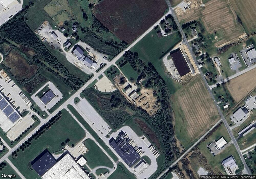
Map
Nearby Homes
- 1329 Broadway
- 1440 Broadway
- 525 Parkview Ln Unit 113
- 706 Grant Dr
- 713 Grant Dr
- 191 Moul Ave
- 679 Cypress Dr Unit 76
- 412 Hawthorn Ln Unit 67
- 755 757 Broadway
- 405 Clearview Rd
- 376 Wilson Ave
- 128 Paul St
- 333 Clearview Rd
- 26 Ridge Ave
- 632 E Walnut St
- 322 Fox Knoll Ct
- 625 E Middle St
- 636 Broadway
- 194 Center St Unit 194
- 183 Center St Unit 183
- 32 Industrial Dr
- 0 Gitts Run Rd Unit 1000244002
- 0 Gitts Run Rd Unit 1000243960
- 0 Gitts Run Rd Unit PAYK141502
- 0 Gitts Run Rd Unit PAYK141476
- 0 Gitts Run Rd Unit PAYK141288
- 680 Gitts Run Rd
- 641 Gitts Run Rd
- 685 Gitts Run Rd
- 37 Industrial Dr Unit 4
- 37 Industrial Dr
- 675 Gitts Run Rd
- 675 Gitts Run Rd
- 25 Industrial Dr
- 605 Gitts Run Rd
- 605 Gitts Run Rd Unit 1
- 565 Gitts Run Rd
- 527 Gitts Run Rd
- 527 Gitts Run Rd
- 695 Gitts Run Rd