34 Island Dr Key Largo, FL 33037
North Key Largo NeighborhoodEstimated Value: $4,140,000 - $11,236,342
3
Beds
4
Baths
5,357
Sq Ft
$1,517/Sq Ft
Est. Value
About This Home
This home is located at 34 Island Dr, Key Largo, FL 33037 and is currently estimated at $8,125,447, approximately $1,516 per square foot. 34 Island Dr is a home located in Monroe County with nearby schools including Key Largo School, Coral Shores High School, and The Academy at Ocean Reef.
Ownership History
Date
Name
Owned For
Owner Type
Purchase Details
Closed on
Jun 4, 2004
Sold by
Hammersmith Carol D
Bought by
Imbesi Patricia
Current Estimated Value
Home Financials for this Owner
Home Financials are based on the most recent Mortgage that was taken out on this home.
Original Mortgage
$2,000,000
Outstanding Balance
$426,153
Interest Rate
3.62%
Mortgage Type
Purchase Money Mortgage
Estimated Equity
$7,699,294
Purchase Details
Closed on
Jul 24, 1998
Sold by
Marlin Joe and Hilliard Barbara J
Bought by
Hammersmith Carol D
Purchase Details
Closed on
Oct 1, 1988
Bought by
Imbesi Patricia
Purchase Details
Closed on
Jun 1, 1981
Bought by
Imbesi Patricia
Purchase Details
Closed on
Feb 1, 1976
Bought by
Imbesi Patricia
Create a Home Valuation Report for This Property
The Home Valuation Report is an in-depth analysis detailing your home's value as well as a comparison with similar homes in the area
Home Values in the Area
Average Home Value in this Area
Purchase History
| Date | Buyer | Sale Price | Title Company |
|---|---|---|---|
| Imbesi Patricia | $4,400,000 | Reef Title Company | |
| Hammersmith Carol D | $3,450,000 | -- | |
| Imbesi Patricia | $790,000 | -- | |
| Imbesi Patricia | $271,100 | -- | |
| Imbesi Patricia | $130,000 | -- |
Source: Public Records
Mortgage History
| Date | Status | Borrower | Loan Amount |
|---|---|---|---|
| Open | Imbesi Patricia | $2,000,000 | |
| Previous Owner | Hammersmith Carol D | $2,750,000 |
Source: Public Records
Tax History Compared to Growth
Tax History
| Year | Tax Paid | Tax Assessment Tax Assessment Total Assessment is a certain percentage of the fair market value that is determined by local assessors to be the total taxable value of land and additions on the property. | Land | Improvement |
|---|---|---|---|---|
| 2024 | $54,694 | $11,225,607 | $9,914,518 | $1,311,089 |
| 2023 | $54,694 | $9,846,843 | $8,546,476 | $1,300,367 |
| 2022 | $44,252 | $7,263,843 | $5,936,595 | $1,327,248 |
| 2021 | $37,950 | $5,276,780 | $4,240,425 | $1,036,355 |
| 2020 | $36,328 | $5,010,361 | $3,947,634 | $1,062,727 |
| 2019 | $34,910 | $5,073,654 | $3,995,776 | $1,077,878 |
| 2018 | $33,487 | $4,911,395 | $3,947,634 | $963,761 |
| 2017 | $31,453 | $4,770,723 | $0 | $0 |
| 2016 | $30,650 | $4,476,328 | $0 | $0 |
| 2015 | $26,804 | $3,552,036 | $0 | $0 |
| 2014 | $25,607 | $3,340,935 | $0 | $0 |
Source: Public Records
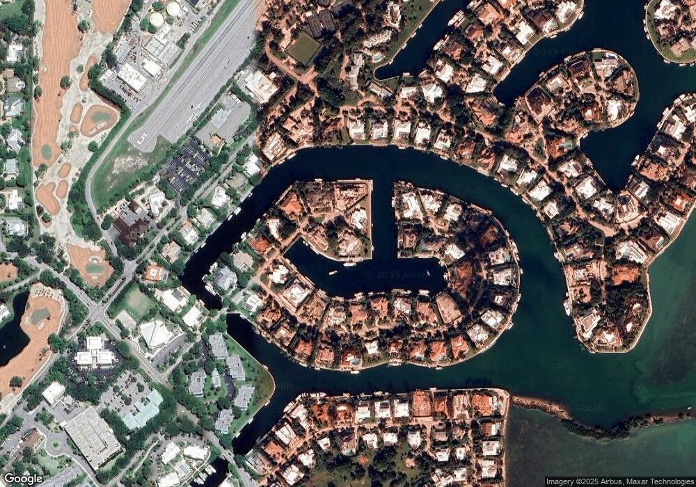
Map
Nearby Homes
- 64 Tarpon Ln
- 18 Anchor Dr Unit B
- 16 Osprey Ln
- 10 Cannon Point
- 17 Osprey Ln
- 9 Gulf Dr
- 10 Mahogany Ln
- 365 S Harbor Dr
- 31 S Carysfort Cir
- 0 167th & Card Sound Rd Unit F10511744
- 10987 County Road 905
- 0 NW 0 Unit A11794670
- 0 NW 0 Unit A11775209
- 0 Unit 616391
- 133 Valois Blvd
- 410xx SW 122 Ave
- 400xx SW 122 Ave
- 18 Palm Dr
- 25 N Ocean Dr
- 15 N Ocean Dr
- 35 Island Dr
- 33 Island Dr
- 36 Island Dr
- 19 Channel Cay Rd
- 37 Island Dr
- 27 Channel Cay Rd
- 28 Channel Cay Rd
- 31 Channel Cay Rd
- 18 Channel Cay Rd
- 30 Channel Cay Rd
- 38 Island Dr
- 29 Channel Cay Rd
- 32 Channel Cay Rd
- 39 Island Dr
- 26 Channel Cay Rd
- 20 Channel Cay Rd
- 17 Channel Cay Rd
- 40 Island Dr
- 25 Channel Cay Rd
- 21 Channel Cay Rd