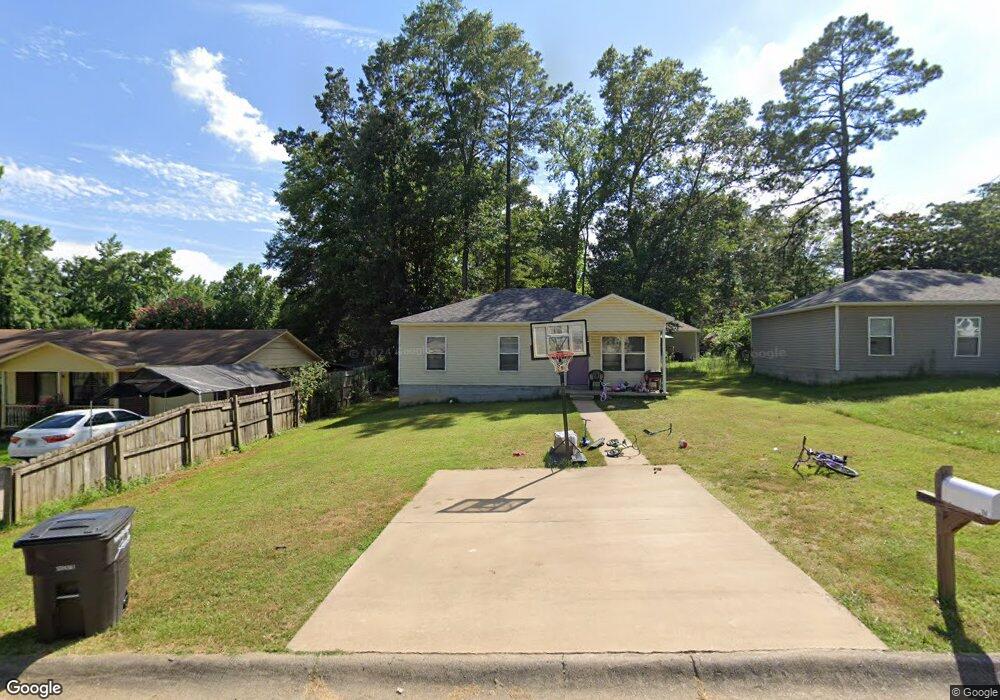
34 John Hancock Cir Jacksonville, AR 72076
Estimated Value: $115,000 - $138,000
--
Bed
--
Bath
1,008
Sq Ft
$124/Sq Ft
Est. Value
About This Home
This home is located at 34 John Hancock Cir, Jacksonville, AR 72076 and is currently estimated at $125,074, approximately $124 per square foot. 34 John Hancock Cir is a home with nearby schools including Murrell Taylor Elementary School, Jacksonville Middle School, and Jacksonville High School.
Ownership History
Date
Name
Owned For
Owner Type
Purchase Details
Closed on
Dec 6, 2024
Sold by
A P Rentals Llc
Bought by
Brighter Horizons Investments Llc
Current Estimated Value
Home Financials for this Owner
Home Financials are based on the most recent Mortgage that was taken out on this home.
Original Mortgage
$2,048,500
Outstanding Balance
$1,655,364
Interest Rate
6.54%
Mortgage Type
New Conventional
Estimated Equity
-$1,530,290
Create a Home Valuation Report for This Property
The Home Valuation Report is an in-depth analysis detailing your home's value as well as a comparison with similar homes in the area
Home Values in the Area
Average Home Value in this Area
Purchase History
| Date | Buyer | Sale Price | Title Company |
|---|---|---|---|
| Brighter Horizons Investments Llc | -- | None Listed On Document |
Source: Public Records
Mortgage History
| Date | Status | Borrower | Loan Amount |
|---|---|---|---|
| Open | Brighter Horizons Investments Llc | $2,048,500 |
Source: Public Records
Tax History Compared to Growth
Tax History
| Year | Tax Paid | Tax Assessment Tax Assessment Total Assessment is a certain percentage of the fair market value that is determined by local assessors to be the total taxable value of land and additions on the property. | Land | Improvement |
|---|---|---|---|---|
| 2025 | $1,189 | $19,372 | $1,200 | $18,172 |
| 2024 | $806 | $19,372 | $1,200 | $18,172 |
| 2023 | $806 | $19,372 | $1,200 | $18,172 |
| 2022 | $843 | $19,372 | $1,200 | $18,172 |
| 2021 | $766 | $12,481 | $740 | $11,741 |
| 2020 | $45 | $740 | $740 | $0 |
| 2019 | $45 | $740 | $740 | $0 |
| 2018 | $45 | $740 | $740 | $0 |
| 2017 | $45 | $740 | $740 | $0 |
| 2016 | $160 | $2,600 | $2,600 | $0 |
| 2015 | $140 | $2,600 | $2,600 | $0 |
| 2014 | $140 | $2,600 | $2,600 | $0 |
Source: Public Records
Map
Nearby Homes
- 1302 King St
- 910 Ray Rd
- 419 Church St
- 602 Ray Rd
- 13 Michelle Ln Unit A
- 29 Collins Rd
- 134 Pike Ave
- 111 Joiner Ave
- 305 Smart St
- 10 Park Dr
- 1404 Southeastern Ave
- 191 Roosevelt Rd
- 1110 Wright St
- 720 Southeastern Ave
- 1401 Tamara Park
- 127 Wilson St
- 105 Smart St
- 219 Lonsdale Cir
- 114 Wilson St
- 109 Galloway Cir
- 30 John Hancock Cir
- 32 John Hancock Cir
- 1006 Oneal St
- 91 John Hancock Cir
- 28 John Hancock Cir
- 1008 Oneal St
- 1002 Oneal St
- 1010 Oneal St
- 0 O'Neal St Unit 20029331
- 0 O'Neal St Unit 18003888
- 27 John Hancock Cir
- 1202 Liberty Dr
- 1012 Oneal St
- 1113 Liberty Dr
- 0 Liberty Dr
- 25 John Hancock Cir
- 1109 Liberty Dr
- 21 John Hancock Cir
- 24 John Hancock Cir
- 1204 Liberty Dr