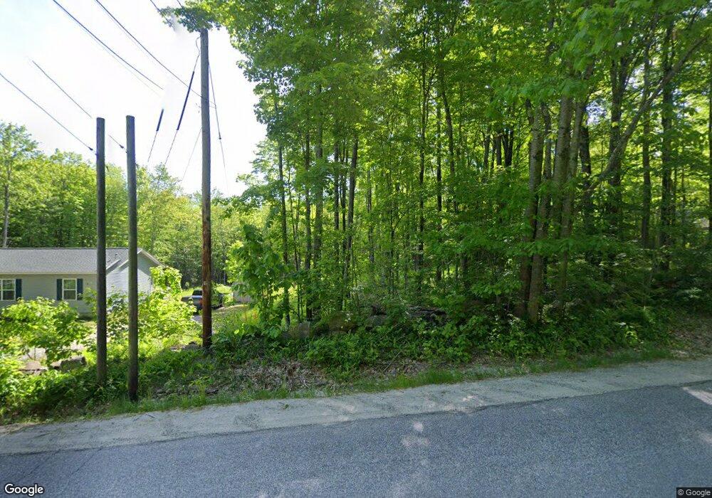
34 Knowles Rd Manchester, ME 04351
Estimated Value: $350,000 - $381,974
2
Beds
2
Baths
792
Sq Ft
$461/Sq Ft
Est. Value
About This Home
This home is located at 34 Knowles Rd, Manchester, ME 04351 and is currently estimated at $365,494, approximately $461 per square foot. 34 Knowles Rd is a home located in Kennebec County.
Ownership History
Date
Name
Owned For
Owner Type
Purchase Details
Closed on
Aug 1, 2017
Sold by
Lawrence Stuart P and Lawrence Jennifer A
Bought by
Bouchard Michael A and Bouchard Lynn M
Current Estimated Value
Purchase Details
Closed on
Oct 31, 2014
Sold by
Lawrence Jennifer A and Lawrence Stuart P
Bought by
Bouchard Michael A and Bouchard Lynn M
Home Financials for this Owner
Home Financials are based on the most recent Mortgage that was taken out on this home.
Original Mortgage
$178,571
Interest Rate
4.21%
Mortgage Type
New Conventional
Create a Home Valuation Report for This Property
The Home Valuation Report is an in-depth analysis detailing your home's value as well as a comparison with similar homes in the area
Home Values in the Area
Average Home Value in this Area
Purchase History
| Date | Buyer | Sale Price | Title Company |
|---|---|---|---|
| Bouchard Michael A | -- | -- | |
| Bouchard Michael A | -- | -- |
Source: Public Records
Mortgage History
| Date | Status | Borrower | Loan Amount |
|---|---|---|---|
| Previous Owner | Bouchard Michael A | $178,571 |
Source: Public Records
Tax History Compared to Growth
Tax History
| Year | Tax Paid | Tax Assessment Tax Assessment Total Assessment is a certain percentage of the fair market value that is determined by local assessors to be the total taxable value of land and additions on the property. | Land | Improvement |
|---|---|---|---|---|
| 2024 | $3,046 | $183,500 | $42,900 | $140,600 |
| 2023 | $3,046 | $183,500 | $42,900 | $140,600 |
| 2022 | $2,890 | $183,500 | $42,900 | $140,600 |
| 2021 | $2,936 | $183,500 | $42,900 | $140,600 |
| 2020 | $3,211 | $183,500 | $42,900 | $140,600 |
| 2019 | $3,230 | $183,500 | $42,900 | $140,600 |
| 2018 | $3,255 | $187,600 | $42,900 | $144,700 |
| 2017 | $3,170 | $187,600 | $42,900 | $144,700 |
| 2016 | $3,077 | $187,600 | $42,900 | $144,700 |
| 2015 | $2,992 | $187,600 | $42,900 | $144,700 |
| 2013 | $3,089 | $206,600 | $42,900 | $163,700 |
Source: Public Records
Map
Nearby Homes
- 772 Prescott Rd
- 49,52 & 62 Parkway Ln
- 9 Meadow View Dr
- Lot 3A1 Prescott Rd
- 14 Meadow View Dr
- 536 Prescott Rd
- 24 Belgrade Rd
- 157 Belgrade Rd
- 0 Allen Hill Ln
- 165 Wade Rd
- 896 Summerhaven Rd
- 83 Mount Vernon Rd
- 26 Peggy Ln
- TBD Bartlett Rd
- 0 Ingraham St
- 0 Anthony Ave Map 5 Lot 110a
- 369 Civic Center Dr
- 625 Plains Rd
- 693- B Western Ave
- 14 Granite Hill Rd
- 34 Knowles Rd
- 20 Knowles Rd
- 838 Prescott Rd
- 45 Knowles Rd
- 846 Prescott Rd
- 852 Prescott Rd
- 48 Knowles Rd
- 826 Prescott Rd
- 10 Knowles Rd
- 833 Prescott Rd
- 855 Prescott Rd
- 823 Prescott Rd
- 878 Prescott Rd
- 810 Prescott Rd
- 881 Prescott Rd
- 45 Bowalk Dr
- 898 Prescott Rd
- 800 Prescott Rd
- 901 Prescott Rd
- 6 Gilbert Dr
