Estimated Value: $452,000 - $755,000
3
Beds
1
Bath
1,191
Sq Ft
$478/Sq Ft
Est. Value
About This Home
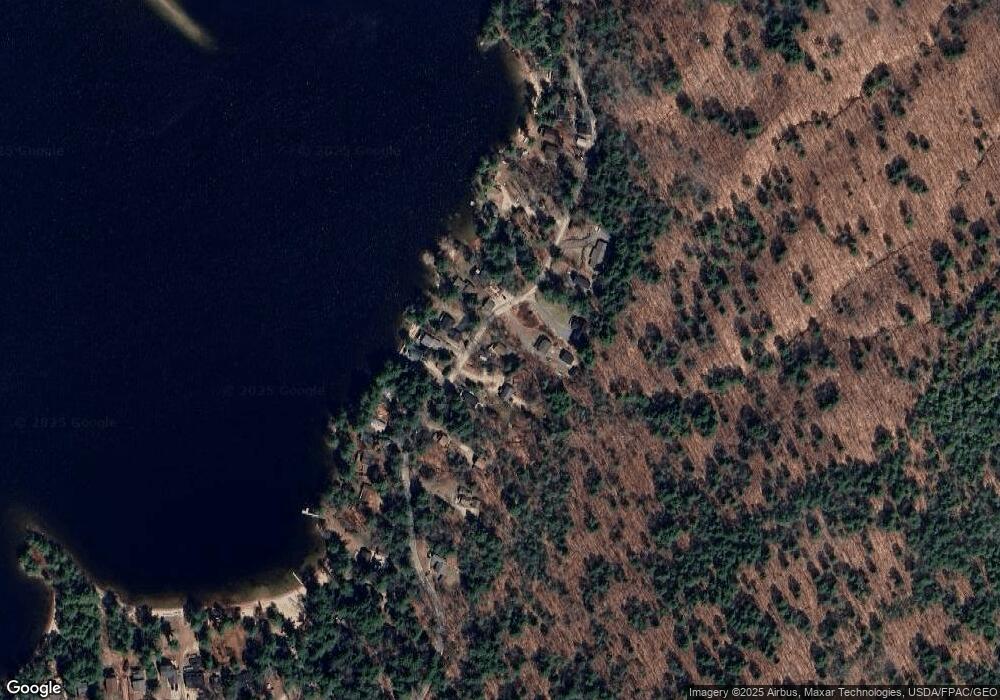
This home is located at 34 Lake Ave, Gray, ME 04039 and is currently estimated at $569,584, approximately $478 per square foot. 34 Lake Ave is a home located in Cumberland County with nearby schools including Gray-New Gloucester High School.
Ownership History
Date
Name
Owned For
Owner Type
Purchase Details
Closed on
Jul 6, 2011
Sold by
Johnson Douglas A and Johnson Holly B
Bought by
Slocum Todd and Slocum Patrice M
Current Estimated Value
Create a Home Valuation Report for This Property
The Home Valuation Report is an in-depth analysis detailing your home's value as well as a comparison with similar homes in the area
Home Values in the Area
Average Home Value in this Area
Purchase History
| Date | Buyer | Sale Price | Title Company |
|---|---|---|---|
| Slocum Todd | -- | -- |
Source: Public Records
Tax History
| Year | Tax Paid | Tax Assessment Tax Assessment Total Assessment is a certain percentage of the fair market value that is determined by local assessors to be the total taxable value of land and additions on the property. | Land | Improvement |
|---|---|---|---|---|
| 2025 | $4,133 | $427,000 | $241,800 | $185,200 |
| 2024 | $4,142 | $427,000 | $241,800 | $185,200 |
| 2023 | $3,116 | $205,300 | $74,900 | $130,400 |
| 2022 | $3,687 | $264,300 | $74,900 | $189,400 |
| 2021 | $3,446 | $235,900 | $74,900 | $161,000 |
| 2020 | $3,480 | $235,900 | $74,900 | $161,000 |
| 2019 | $3,480 | $235,900 | $74,900 | $161,000 |
| 2018 | $3,303 | $235,900 | $74,900 | $161,000 |
| 2017 | $2,099 | $116,300 | $32,900 | $83,400 |
| 2016 | $2,128 | $116,300 | $32,900 | $83,400 |
| 2015 | $2,117 | $116,300 | $32,900 | $83,400 |
| 2014 | $2,117 | $116,300 | $32,900 | $83,400 |
| 2012 | $2,516 | $158,752 | $32,900 | $125,852 |
Source: Public Records
Map
Nearby Homes
- 17 Northern Oaks Dr
- 2 Gore Rd
- 150 Birchwood Rd
- M011-006 Westwood Rd
- 34 Smith Rd
- 20 Bittersweet Way
- lot #8 Bedrock Terrace
- 99 Enterprise Dr
- 39 Pipeline Rd
- 29 Baxter Woods Trail
- 7 Baxter Woods Trail
- 15 Presidential View
- 0 Gore Unit 1655428
- 1112 Roosevelt Trail Unit 8
- 1083 Roosevelt Trail
- 16 Peterson Rd
- 14 Sabbady Point Rd
- 192 Varney Mill Rd
- 14 Emerson Dr
- 1042 Roosevelt Trail
Your Personal Tour Guide
Ask me questions while you tour the home.