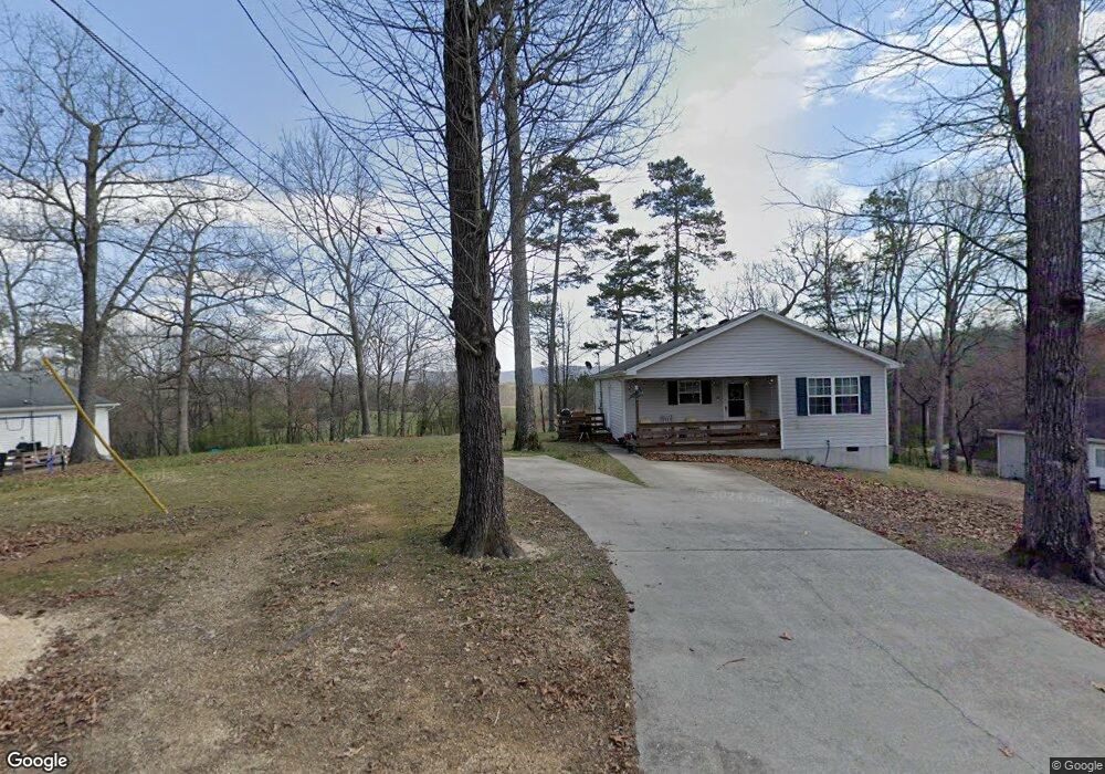
34 Lazy Ln Ringgold, GA 30736
Beaumont NeighborhoodEstimated Value: $253,000 - $1,103,000
--
Bed
--
Bath
1,080
Sq Ft
$732/Sq Ft
Est. Value
About This Home
This home is located at 34 Lazy Ln, Ringgold, GA 30736 and is currently estimated at $790,062, approximately $731 per square foot. 34 Lazy Ln is a home with nearby schools including Woodstation Elementary School, Heritage Middle School, and Heritage High School.
Ownership History
Date
Name
Owned For
Owner Type
Purchase Details
Closed on
Jan 1, 2016
Sold by
Hawthorne Bill and Hawthorne Mar
Bought by
Rt Land Llc
Current Estimated Value
Home Financials for this Owner
Home Financials are based on the most recent Mortgage that was taken out on this home.
Original Mortgage
$390,000
Outstanding Balance
$15,635
Interest Rate
3.96%
Mortgage Type
New Conventional
Estimated Equity
$774,427
Purchase Details
Closed on
Jun 9, 2015
Sold by
Hawthorne Billy Ira
Bought by
Hawthorne Bill and Hawthorne Mary
Purchase Details
Closed on
Aug 26, 1988
Bought by
Hawthorne Billy Ira
Create a Home Valuation Report for This Property
The Home Valuation Report is an in-depth analysis detailing your home's value as well as a comparison with similar homes in the area
Home Values in the Area
Average Home Value in this Area
Purchase History
| Date | Buyer | Sale Price | Title Company |
|---|---|---|---|
| Rt Land Llc | $520,000 | -- | |
| Rt Land Llc | $520,000 | -- | |
| Hawthorne Bill | -- | -- | |
| Hawthorne Billy Ira | $15,000 | -- |
Source: Public Records
Mortgage History
| Date | Status | Borrower | Loan Amount |
|---|---|---|---|
| Open | Rt Land Llc | $390,000 | |
| Closed | Rt Land Llc | $390,000 |
Source: Public Records
Tax History Compared to Growth
Tax History
| Year | Tax Paid | Tax Assessment Tax Assessment Total Assessment is a certain percentage of the fair market value that is determined by local assessors to be the total taxable value of land and additions on the property. | Land | Improvement |
|---|---|---|---|---|
| 2024 | $10,642 | $499,012 | $27,914 | $471,098 |
| 2023 | $8,085 | $361,131 | $14,234 | $346,897 |
| 2022 | $6,174 | $275,782 | $13,556 | $262,226 |
| 2021 | $5,770 | $275,782 | $13,556 | $262,226 |
| 2020 | $5,472 | $236,466 | $12,910 | $223,556 |
| 2019 | $5,531 | $236,466 | $12,910 | $223,556 |
| 2018 | $5,842 | $236,466 | $12,910 | $223,556 |
| 2017 | $5,139 | $229,084 | $12,910 | $216,174 |
Source: Public Records
Map
Nearby Homes
- 0 Pineywood Dr Unit 1515968
- 186 Henry Dr
- 678 Waters Dr
- 161 Teal Dr
- 218 Hooper Rd
- 87 Peavine Rd
- 15 Chickadee Dr
- 0 Summerfield Trail
- 224 Heritage Place
- 13 Crosswinds Dr
- 575 W Nickajack Rd
- 333 Hooper Rd
- 0 Alabama Hwy Unit 10586300
- 0 Alabama Hwy Unit 1518818
- 0 E Teems Rd Unit 10515523
- 0 E Teems Rd Unit 7573954
- 137 Dylan Dr
- 391 Potts Rd
- 375 Cooper Rd
- 386 Twelve Oaks Dr
- 2050 Yates Springs Rd
- 2045 Yates Springs Rd
- 581 Westbrook Rd
- 581 Westbrook Rd
- 2068 Yates Springs Rd
- 2098 Yates Springs Rd
- 15 Westbrook Rd
- 1850 Yates Springs Rd
- 31 Hixson Rd
- 1819 Yates Springs Rd
- 1819 Yates Springs Rd
- 497 Westbrook Rd
- 2226 Yates Springs Rd
- 1773 Yates Springs Rd
- 19 Dimple Ln
- 1714 Yates Springs Rd
- 2251 Yates Springs Rd
- 75 Dimple Ln
- 1703 Yates Springs Rd
- 458 Westbrook Rd