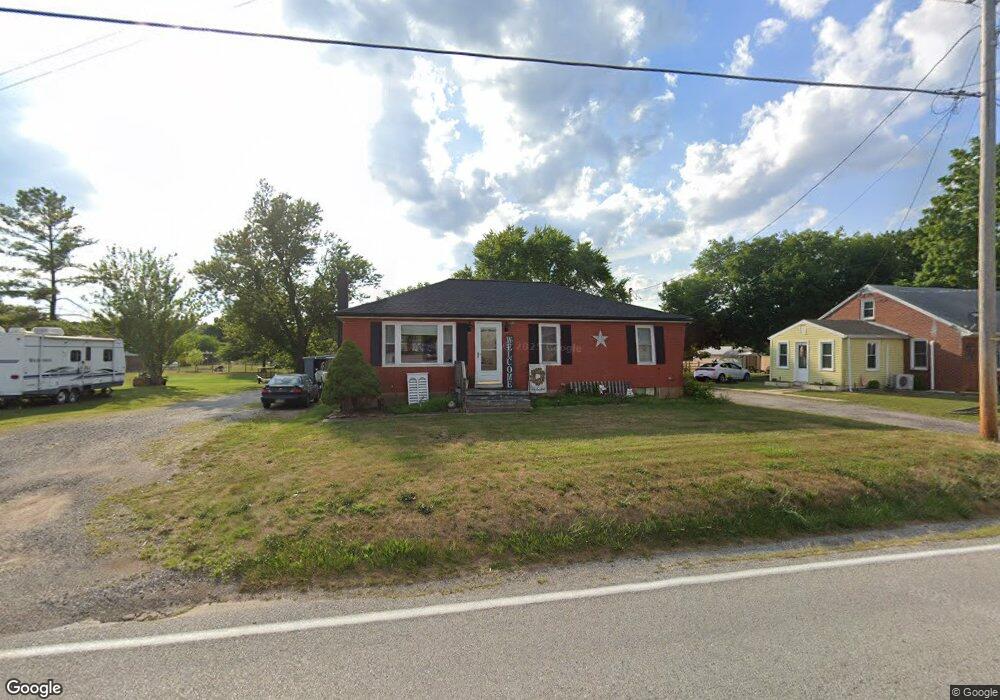
34 Locust St Gettysburg, PA 17325
Estimated Value: $242,291 - $290,000
3
Beds
1
Bath
1,160
Sq Ft
$227/Sq Ft
Est. Value
About This Home
This home is located at 34 Locust St, Gettysburg, PA 17325 and is currently estimated at $263,323, approximately $227 per square foot. 34 Locust St is a home located in Adams County with nearby schools including Rolling Acres El School, Maple Avenue Middle School, and Littlestown Senior High School.
Ownership History
Date
Name
Owned For
Owner Type
Purchase Details
Closed on
Aug 6, 2007
Sold by
Us Bank National Assn
Bought by
Appleby Geogre W
Current Estimated Value
Purchase Details
Closed on
Jan 27, 1999
Bought by
Straley Francis and Straley Sandy L
Create a Home Valuation Report for This Property
The Home Valuation Report is an in-depth analysis detailing your home's value as well as a comparison with similar homes in the area
Home Values in the Area
Average Home Value in this Area
Purchase History
| Date | Buyer | Sale Price | Title Company |
|---|---|---|---|
| Appleby Geogre W | $198,500 | -- | |
| Straley Francis | $70,500 | -- |
Source: Public Records
Tax History Compared to Growth
Tax History
| Year | Tax Paid | Tax Assessment Tax Assessment Total Assessment is a certain percentage of the fair market value that is determined by local assessors to be the total taxable value of land and additions on the property. | Land | Improvement |
|---|---|---|---|---|
| 2025 | $4,080 | $165,800 | $68,000 | $97,800 |
| 2024 | $3,401 | $165,800 | $68,000 | $97,800 |
| 2023 | $3,300 | $165,800 | $68,000 | $97,800 |
| 2022 | $3,196 | $165,800 | $68,000 | $97,800 |
| 2021 | $3,092 | $165,800 | $68,000 | $97,800 |
| 2020 | $3,243 | $165,800 | $68,000 | $97,800 |
| 2019 | $3,176 | $165,800 | $68,000 | $97,800 |
| 2018 | $2,932 | $165,800 | $68,000 | $97,800 |
| 2017 | $2,850 | $165,800 | $68,000 | $97,800 |
| 2016 | -- | $165,800 | $68,000 | $97,800 |
| 2015 | -- | $165,800 | $68,000 | $97,800 |
| 2014 | -- | $165,800 | $68,000 | $97,800 |
Source: Public Records
Map
Nearby Homes
- 27 Maple St
- 8 Maple St
- 48 Cannon Ln Unit 105
- 13 N Pine St
- 28 Bonniefield Cir Unit 25
- 1 Hickory Ave
- 25 Harvest Dr
- 67 Cedarfield Dr
- 138 Cedarfield Dr Unit 71
- 549 Grant Dr Unit 549
- 780 White Hall Rd
- 860 Bon Ox Rd
- 871 Sherman Dr Unit 871
- 464 Locust Ln
- 948 Heritage Dr Unit 948
- 2746 Baltimore Pike
- 198 Longstreet Dr Unit 198
- 930 Hoffman Rd
- 3801 Baltimore Pike
- 279 Longstreet Dr Unit 279