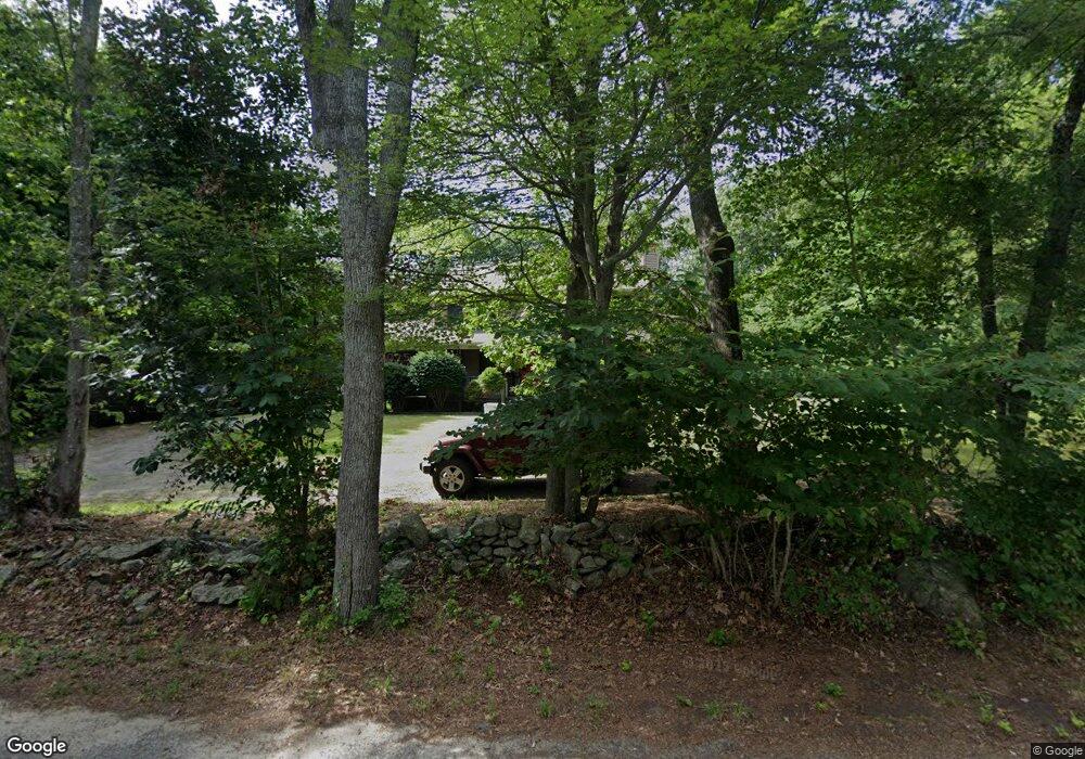
34 Maple Ln Rehoboth, MA 02769
Estimated Value: $653,536 - $949,000
3
Beds
3
Baths
2,192
Sq Ft
$343/Sq Ft
Est. Value
About This Home
This home is located at 34 Maple Ln, Rehoboth, MA 02769 and is currently estimated at $751,384, approximately $342 per square foot. 34 Maple Ln is a home located in Bristol County with nearby schools including Dighton-Rehoboth Regional High School and Cedar Brook School.
Ownership History
Date
Name
Owned For
Owner Type
Purchase Details
Closed on
Jun 8, 1999
Sold by
Duvally Contracting
Bought by
Rodriques Eduardo M and Rodrigues Susan A
Current Estimated Value
Home Financials for this Owner
Home Financials are based on the most recent Mortgage that was taken out on this home.
Original Mortgage
$189,000
Interest Rate
6.85%
Mortgage Type
Purchase Money Mortgage
Create a Home Valuation Report for This Property
The Home Valuation Report is an in-depth analysis detailing your home's value as well as a comparison with similar homes in the area
Home Values in the Area
Average Home Value in this Area
Purchase History
| Date | Buyer | Sale Price | Title Company |
|---|---|---|---|
| Rodriques Eduardo M | $236,900 | -- |
Source: Public Records
Mortgage History
| Date | Status | Borrower | Loan Amount |
|---|---|---|---|
| Open | Rodriques Eduardo M | $291,890 | |
| Closed | Rodriques Eduardo M | $215,500 | |
| Closed | Rodriques Eduardo M | $25,000 | |
| Closed | Rodriques Eduardo M | $189,000 |
Source: Public Records
Tax History
| Year | Tax Paid | Tax Assessment Tax Assessment Total Assessment is a certain percentage of the fair market value that is determined by local assessors to be the total taxable value of land and additions on the property. | Land | Improvement |
|---|---|---|---|---|
| 2025 | $59 | $531,800 | $204,700 | $327,100 |
| 2024 | $5,957 | $524,400 | $204,700 | $319,700 |
| 2023 | $5,495 | $481,000 | $200,700 | $280,300 |
| 2022 | $5,495 | $433,700 | $192,300 | $241,400 |
| 2021 | $5,260 | $397,300 | $176,000 | $221,300 |
| 2020 | $5,213 | $397,300 | $176,000 | $221,300 |
| 2018 | $4,455 | $372,200 | $168,200 | $204,000 |
| 2017 | $4,355 | $346,700 | $168,200 | $178,500 |
| 2016 | $4,212 | $346,700 | $168,200 | $178,500 |
| 2015 | $3,803 | $308,900 | $161,000 | $147,900 |
| 2014 | $3,753 | $301,700 | $153,800 | $147,900 |
Source: Public Records
Map
Nearby Homes
- 0 Horton St Unit 73333337
- 133 Winthrop St
- 24 New St
- 23 Bay State Rd
- 248 County
- 2713 Horton St
- 0 Winthrop St Unit 73180872
- 349 Anawan St
- 145 Winthrop St
- 139 Winthrop St
- 10 Muriel Way
- 321 Winthrop St
- 257 Anawan St
- 19 Cedar St Unit 21
- 185 Moulton St
- 111 Summer St
- 1 Clubhouse Way
- 8 Linden Ln
- 8 Linden Ln
- 20 School St
- 29 Maple Ln
- 30 Maple Ln
- 41 Maple Ln
- 40 Maple Ln
- 25 Maple Ln
- 45 Maple Ln
- 26 Maple Ln
- 0 Maple Lane L-17a Unit 50491783
- 0 Maple Lane L-M41 P-17d Unit 50491784
- 0 Maple Lane L-7e Unit 50491781
- 48 Maple Ln
- 21 Maple Ln
- 51 Maple Ln
- 52 Maple Ln
- 15 Maple Ln
- 16 Maple Ln
- 22 Maple Ln
- 55 Maple Ln
- 56 Maple Ln
- 10 Maple Ln
Your Personal Tour Guide
Ask me questions while you tour the home.