34 Maple Ln Tunkhannock, PA 18657
Estimated Value: $191,915 - $259,000
--
Bed
--
Bath
--
Sq Ft
0.49
Acres
About This Home
This home is located at 34 Maple Ln, Tunkhannock, PA 18657 and is currently estimated at $223,729. 34 Maple Ln is a home located in Wyoming County with nearby schools including Tunkhannock Middle School, Tunkhannock High School, and Endless Mountains Christian Academy.
Ownership History
Date
Name
Owned For
Owner Type
Purchase Details
Closed on
Mar 26, 2010
Sold by
Newhart Maureen A
Bought by
Cokely Lori
Current Estimated Value
Home Financials for this Owner
Home Financials are based on the most recent Mortgage that was taken out on this home.
Original Mortgage
$114,400
Outstanding Balance
$76,646
Interest Rate
5.12%
Mortgage Type
New Conventional
Estimated Equity
$147,083
Purchase Details
Closed on
Jan 25, 2010
Sold by
Newhart Carl A and Newhart Maureen A
Bought by
Newhart Maureen A
Home Financials for this Owner
Home Financials are based on the most recent Mortgage that was taken out on this home.
Original Mortgage
$114,400
Outstanding Balance
$76,646
Interest Rate
5.12%
Mortgage Type
New Conventional
Estimated Equity
$147,083
Create a Home Valuation Report for This Property
The Home Valuation Report is an in-depth analysis detailing your home's value as well as a comparison with similar homes in the area
Home Values in the Area
Average Home Value in this Area
Purchase History
| Date | Buyer | Sale Price | Title Company |
|---|---|---|---|
| Cokely Lori | $143,000 | None Available | |
| Newhart Maureen A | -- | None Available |
Source: Public Records
Mortgage History
| Date | Status | Borrower | Loan Amount |
|---|---|---|---|
| Open | Cokely Lori | $114,400 |
Source: Public Records
Tax History Compared to Growth
Tax History
| Year | Tax Paid | Tax Assessment Tax Assessment Total Assessment is a certain percentage of the fair market value that is determined by local assessors to be the total taxable value of land and additions on the property. | Land | Improvement |
|---|---|---|---|---|
| 2025 | $3,616 | $31,210 | $3,500 | $27,710 |
| 2024 | $3,616 | $31,210 | $3,500 | $27,710 |
| 2023 | $3,584 | $31,210 | $3,500 | $27,710 |
| 2022 | $3,538 | $31,210 | $3,500 | $27,710 |
| 2021 | $3,460 | $31,210 | $3,500 | $27,710 |
| 2020 | $3,460 | $31,210 | $3,500 | $27,710 |
| 2019 | $3,397 | $31,210 | $3,500 | $27,710 |
| 2018 | $2,554 | $24,240 | $3,500 | $20,740 |
| 2017 | $2,517 | $0 | $0 | $0 |
| 2016 | -- | $0 | $0 | $0 |
| 2015 | -- | $0 | $0 | $0 |
| 2014 | -- | $0 | $0 | $0 |
Source: Public Records
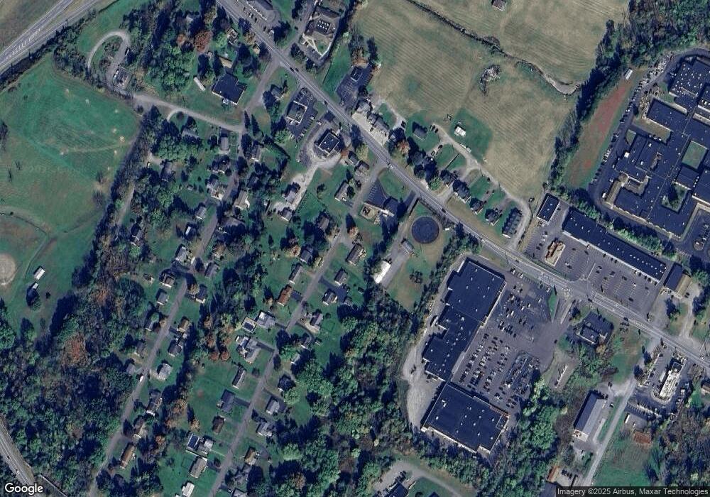
Map
Nearby Homes
- 1 Ford Dr
- 21 Wyoming Ave
- 150 Grandview Dr
- 148 Grandview Dr
- 5 E Harrison St
- 425 Woodland Way
- 226 Village View Dr
- 28 Pine St
- 1 Sullivan St
- 43 1/2 Mccord St
- 7 Doran Dr
- 9 Doran Dr
- 40 Winola Ave
- 55 Margrow Rd
- 819 Hunter Hwy
- 5 Fieldcrest Dr
- 0 Dark Hollow Rd Unit GSBSC255658
- 24 Benson Hollow Ln
- 0 Wellwood Dr Unit GSBSC254387
- 0 Wellwood Dr Unit PWBPW252807