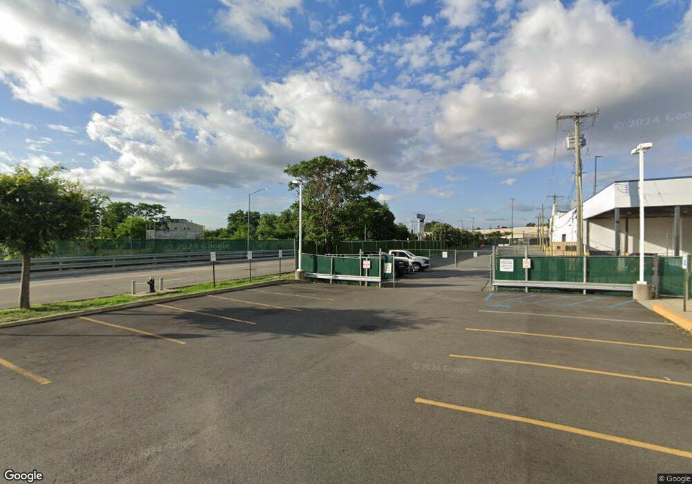
34 Marconi St Bronx, NY 10461
Morris Park NeighborhoodEstimated Value: $9,635,825
--
Bed
--
Bath
28,000
Sq Ft
$344/Sq Ft
Est. Value
About This Home
This home is located at 34 Marconi St, Bronx, NY 10461 and is currently estimated at $9,635,825, approximately $344 per square foot. 34 Marconi St is a home located in Bronx County with nearby schools including P.S. 108 Philip J Abinanti, J.H.S. 144 Michelangelo, and Herbert H Lehman High School.
Ownership History
Date
Name
Owned For
Owner Type
Purchase Details
Closed on
Dec 13, 2012
Sold by
The June 14 1994 @ 10 58 P M Realty Ll
Bought by
Hutch 34 Industrial Street Llc
Current Estimated Value
Home Financials for this Owner
Home Financials are based on the most recent Mortgage that was taken out on this home.
Original Mortgage
$4,148,000
Outstanding Balance
$2,872,533
Interest Rate
3.36%
Mortgage Type
Commercial
Estimated Equity
$6,763,292
Purchase Details
Closed on
Dec 7, 2001
Sold by
Solidarity Of Labor Orga
Bought by
June 14 1994 @ 10 58 P
Home Financials for this Owner
Home Financials are based on the most recent Mortgage that was taken out on this home.
Original Mortgage
$638,567
Interest Rate
6.72%
Mortgage Type
Commercial
Create a Home Valuation Report for This Property
The Home Valuation Report is an in-depth analysis detailing your home's value as well as a comparison with similar homes in the area
Home Values in the Area
Average Home Value in this Area
Purchase History
| Date | Buyer | Sale Price | Title Company |
|---|---|---|---|
| Hutch 34 Industrial Street Llc | $5,175,000 | -- | |
| Hutch 34 Industrial Street Llc | $5,175,000 | -- | |
| June 14 1994 @ 10 58 P | -- | -- | |
| June 14 1994 @ 10 58 P | -- | -- |
Source: Public Records
Mortgage History
| Date | Status | Borrower | Loan Amount |
|---|---|---|---|
| Open | Hutch 34 Industrial Street Llc | $4,148,000 | |
| Closed | Hutch 34 Industrial Street Llc | $4,148,000 | |
| Previous Owner | June 14 1994 @ 10 58 P | $638,567 |
Source: Public Records
Tax History Compared to Growth
Tax History
| Year | Tax Paid | Tax Assessment Tax Assessment Total Assessment is a certain percentage of the fair market value that is determined by local assessors to be the total taxable value of land and additions on the property. | Land | Improvement |
|---|---|---|---|---|
| 2025 | $247,862 | $2,442,870 | $444,150 | $1,998,720 |
| 2024 | $247,862 | $2,340,090 | $444,150 | $1,895,940 |
| 2023 | $237,418 | $2,230,110 | $444,150 | $1,785,960 |
| 2022 | $241,445 | $2,277,900 | $444,150 | $1,833,750 |
| 2021 | $226,419 | $2,117,250 | $444,150 | $1,673,100 |
| 2020 | $217,926 | $2,068,200 | $444,150 | $1,624,050 |
| 2019 | $216,079 | $2,055,150 | $444,150 | $1,611,000 |
| 2018 | $208,471 | $2,133,000 | $444,150 | $1,688,850 |
| 2017 | $194,982 | $2,067,300 | $444,150 | $1,623,150 |
| 2016 | $187,843 | $1,905,300 | $444,150 | $1,461,150 |
| 2015 | $81,043 | $1,785,600 | $444,150 | $1,341,450 |
| 2014 | $81,043 | $1,759,950 | $444,150 | $1,315,800 |
Source: Public Records
Map
Nearby Homes
- 3227 Bruckner Blvd
- 1610 Hering Ave
- 1633 Tenbroeck Ave
- 1636 Williamsbridge Rd
- 1865 Mulford Ave
- 1826 Mulford Ave
- 1836 Mulford Ave
- 1619 Mulford Ave
- 1926 Hutchinson River Pkwy E Unit E
- 1629 Haight Ave
- 1541 Overing St
- 1506 Overing St Unit 6-C
- 1506 Overing St Unit 1D
- 1633 Lurting Ave
- 1537 McDonald St
- 1531 Hone Ave
- 1725 Edison Ave Unit 4C
- 1725 Edison Ave Unit 2D
- 1570 Paulding Ave
- 1617 Hone Ave
- 1742 Eastchester Rd
- 1730 Eastchester Rd
- 1740 Eastchester Rd
- 1728 Eastchester Rd
- 1724 Eastchester Rd
- 1716 Eastchester Rd
- 1712 Eastchester Rd
- 1710 Eastchester Rd
- 1790 Eastchester Rd
- 1776 Eastchester Rd Unit 2
- 1776 Eastchester Rd Unit 1
- 1776 Eastchester Rd
- 1733 Eastchester Rd
- 1812 Eastchester Rd
- 1816 Eastchester Rd
- 1820 Eastchester Rd
- 2015 2015 St Paul Ave Unit 2 C
- 1826-1840 Eastchester Rd
- 1496 Benson St
- 1695 Eastchester Rd
