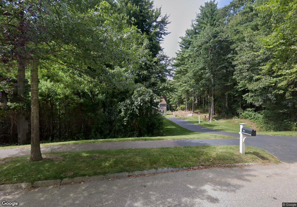
34 Massachusetts Ave Norfolk, MA 02056
Estimated Value: $903,172 - $1,076,000
4
Beds
3
Baths
2,675
Sq Ft
$358/Sq Ft
Est. Value
About This Home
This home is located at 34 Massachusetts Ave, Norfolk, MA 02056 and is currently estimated at $958,543, approximately $358 per square foot. 34 Massachusetts Ave is a home located in Norfolk County with nearby schools including H. Olive Day School, Freeman-Kennedy School, and Woodside Montessori Academy.
Ownership History
Date
Name
Owned For
Owner Type
Purchase Details
Closed on
Nov 12, 2010
Sold by
Woodford Norman P
Bought by
Woodford Cynthia L
Current Estimated Value
Purchase Details
Closed on
Sep 27, 2001
Sold by
Intoccia Dev Corp
Bought by
Woodford Norman P and Woodford Cynthia
Home Financials for this Owner
Home Financials are based on the most recent Mortgage that was taken out on this home.
Original Mortgage
$343,900
Interest Rate
6.91%
Mortgage Type
Purchase Money Mortgage
Create a Home Valuation Report for This Property
The Home Valuation Report is an in-depth analysis detailing your home's value as well as a comparison with similar homes in the area
Home Values in the Area
Average Home Value in this Area
Purchase History
| Date | Buyer | Sale Price | Title Company |
|---|---|---|---|
| Woodford Cynthia L | -- | -- | |
| Woodford Norman P | $431,220 | -- |
Source: Public Records
Mortgage History
| Date | Status | Borrower | Loan Amount |
|---|---|---|---|
| Previous Owner | Woodford Norman P | $343,900 |
Source: Public Records
Tax History Compared to Growth
Tax History
| Year | Tax Paid | Tax Assessment Tax Assessment Total Assessment is a certain percentage of the fair market value that is determined by local assessors to be the total taxable value of land and additions on the property. | Land | Improvement |
|---|---|---|---|---|
| 2025 | $12,714 | $796,100 | $248,000 | $548,100 |
| 2024 | $11,822 | $759,300 | $248,000 | $511,300 |
| 2023 | $11,436 | $696,900 | $248,000 | $448,900 |
| 2022 | $10,834 | $595,300 | $232,600 | $362,700 |
| 2021 | $10,470 | $582,000 | $226,000 | $356,000 |
| 2020 | $10,539 | $565,400 | $206,200 | $359,200 |
| 2019 | $10,149 | $554,900 | $206,200 | $348,700 |
| 2018 | $9,742 | $523,200 | $206,200 | $317,000 |
| 2017 | $9,596 | $526,700 | $206,200 | $320,500 |
| 2016 | $9,237 | $510,900 | $213,900 | $297,000 |
| 2015 | $8,858 | $501,600 | $201,300 | $300,300 |
| 2014 | $8,680 | $498,000 | $201,300 | $296,700 |
Source: Public Records
Map
Nearby Homes
- 27 Whichita Rd
- 29 Wildwood Rd Unit 29
- 23 Algonquin Rd
- 2 Gerald Ave
- 10 Stop River Rd
- 7 Malcolm St
- 53 Thomas Mann Cir Unit 31
- 57 Thomas Mann Cir Unit 57
- 63 Thomas Mann Cir Unit 36
- 51 Thomas Mann Unit 30
- 42 Thomas Mann Unit 39
- 37 Thomas Mann Cir Unit 23
- The Georgetown L Plan at Lakeland Hills
- The Georgetown Grand L Plan at Lakeland Hills
- The Georgetown R Plan at Lakeland Hills
- The Georgetown Grand R Plan at Lakeland Hills
- 13 Stop River Rd
- 28 Thomas Mann Cir Unit Lot 38
- 10 Medway St
- 27 Thomas Mann Cir Unit 18
- 35 Massachusetts Ave
- 36 Massachusetts Ave
- 33 Massachusetts Ave
- 33 Mass Ave
- 31 Massachusetts Ave
- 30 Massachusetts Ave
- 18 Evergreen Rd
- 25 Evergreen Rd
- 29 Massachusetts Ave
- 47 Turner St
- 15 Cypress Ln
- 23 Evergreen Rd
- 16 Evergreen Rd
- 1 Applewood Rd
- 21 Evergreen Rd
- 3 Applewood Rd
- 27 Massachusetts Ave
- 00 Applewood Rd
- 7 Willow Place
- 0 Cypress Ln Unit 70142098