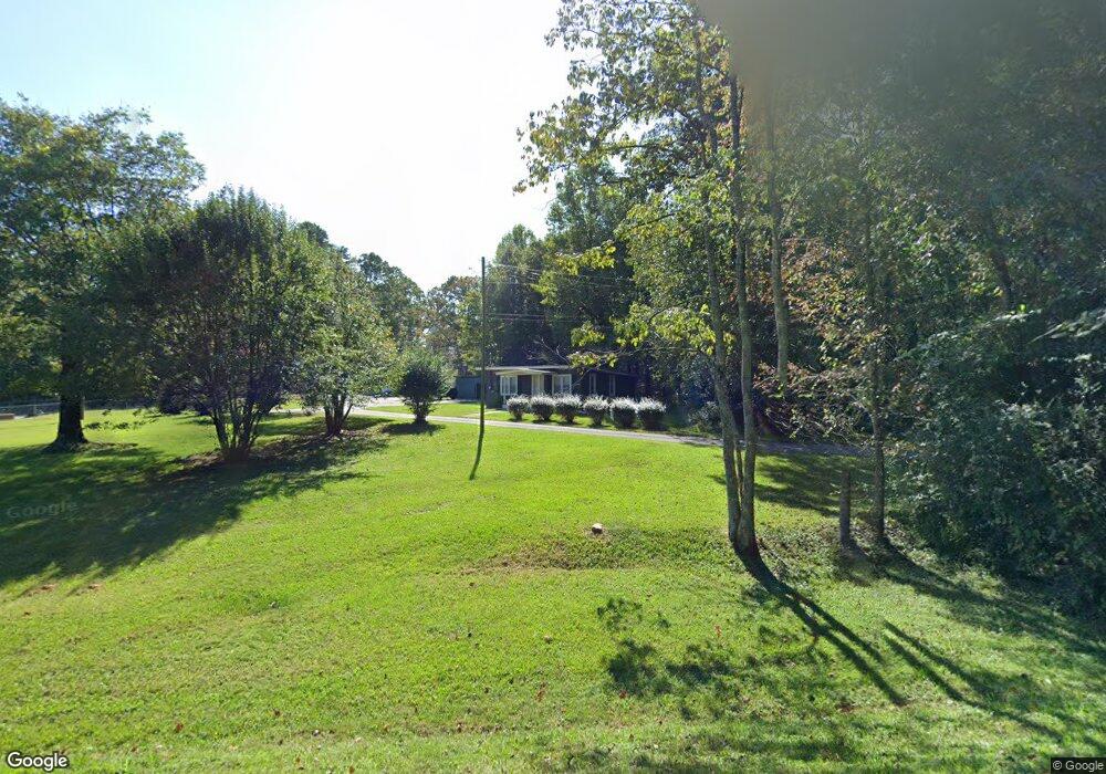
34 McBrayer Rd Dahlonega, GA 30533
Estimated Value: $149,022 - $284,000
1
Bed
1
Bath
912
Sq Ft
$252/Sq Ft
Est. Value
About This Home
This home is located at 34 McBrayer Rd, Dahlonega, GA 30533 and is currently estimated at $229,756, approximately $251 per square foot. 34 McBrayer Rd is a home located in Lumpkin County with nearby schools including Clay County Middle School and Lumpkin County High School.
Ownership History
Date
Name
Owned For
Owner Type
Purchase Details
Closed on
Jan 9, 2002
Sold by
Anderson Nathan Scot
Bought by
Anderson Janet Lynette
Current Estimated Value
Purchase Details
Closed on
Sep 17, 1994
Sold by
Adams Norman
Bought by
Anderson Nathan Scot
Purchase Details
Closed on
Sep 16, 1993
Sold by
Lowe William J
Bought by
Adams Norman
Purchase Details
Closed on
Jul 10, 1989
Sold by
Anderson Tony
Bought by
Lowe William J
Purchase Details
Closed on
Jul 1, 1986
Sold by
Grimsley John Richar
Bought by
Anderson Tony
Purchase Details
Closed on
Dec 1, 1984
Bought by
Grimsley John Richar
Create a Home Valuation Report for This Property
The Home Valuation Report is an in-depth analysis detailing your home's value as well as a comparison with similar homes in the area
Home Values in the Area
Average Home Value in this Area
Purchase History
| Date | Buyer | Sale Price | Title Company |
|---|---|---|---|
| Anderson Janet Lynette | -- | -- | |
| Anderson Nathan Scot | -- | -- | |
| Adams Norman | -- | -- | |
| Lowe William J | $25,000 | -- | |
| Anderson Tony | -- | -- | |
| Grimsley John Richar | -- | -- |
Source: Public Records
Tax History Compared to Growth
Tax History
| Year | Tax Paid | Tax Assessment Tax Assessment Total Assessment is a certain percentage of the fair market value that is determined by local assessors to be the total taxable value of land and additions on the property. | Land | Improvement |
|---|---|---|---|---|
| 2024 | $748 | $31,112 | $2,706 | $28,406 |
| 2023 | $902 | $38,327 | $2,460 | $35,867 |
| 2022 | $320 | $12,925 | $2,051 | $10,874 |
| 2021 | $289 | $11,277 | $2,051 | $9,226 |
| 2020 | $289 | $10,962 | $1,962 | $9,000 |
| 2019 | $292 | $10,962 | $1,962 | $9,000 |
| 2018 | $288 | $10,157 | $1,962 | $8,195 |
| 2017 | $306 | $10,562 | $1,962 | $8,600 |
| 2016 | $287 | $9,583 | $1,962 | $7,621 |
| 2015 | $260 | $9,583 | $1,962 | $7,621 |
| 2014 | $260 | $9,881 | $1,962 | $7,919 |
| 2013 | -- | $10,180 | $1,962 | $8,218 |
Source: Public Records
Map
Nearby Homes
- 16 Welch Cir
- 45 Chestatee River Ridge
- 0 Arborwood Dr Unit 10645890
- 83 Austin Ct
- 64 Highview Ln
- 202 Indian Trail
- 496 Beaver Dam Rd
- 372 Porter Springs Rd
- 1063 Grindle Bridge Rd
- 380 Copper Mill Rd
- 0 Porter Springs Rd Unit 7685063
- 0 Porter Springs Rd Unit 10648400
- 165 Porter Springs Rd
- 0 Horseshoe Bend Rd Unit 10571975
- 0 Horseshoe Bend Rd Unit 7620338
- 925 Horseshoe Bend Rd
- 128 Young Deer Dr
- 1437 Porter Springs Rd
- 87 Tolleffs Trail
- 51 McBrayer Rd
- 2 Brady Edge Rd
- 0 Brady Edge Rd
- 4185 Cavender Creek Rd
- 5 acre Brady Edge Rd
- 94 McBrayer Rd
- 31 Blackwell Rd
- 4131 Cavender Creek Rd
- 4263 Cavender Creek Rd
- 4049 Cavender Creek Rd
- 115 Sawmill Ln
- 167 Mulberry Ln
- 34 Blackwell Rd
- 4020 Cavender Creek Rd
- 0 Blackwell Rd
- 106 Town Creek Church Rd
- 149 Brady Edge Rd
- 3998 Cavender Creek Rd
- 56 Town Creek Church Rd
- 4397 Cavender Creek Rd