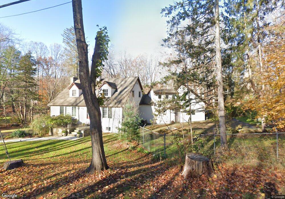
34 Merwin Brook Rd Brookfield, CT 06804
Estimated Value: $695,491 - $786,000
4
Beds
3
Baths
3,221
Sq Ft
$228/Sq Ft
Est. Value
About This Home
This home is located at 34 Merwin Brook Rd, Brookfield, CT 06804 and is currently estimated at $735,123, approximately $228 per square foot. 34 Merwin Brook Rd is a home located in Fairfield County with nearby schools including Whisconier Middle School, Brookfield High School, and Christian Life Academy.
Ownership History
Date
Name
Owned For
Owner Type
Purchase Details
Closed on
Mar 3, 1972
Bought by
Seymour John C and Catherine Seymour M
Current Estimated Value
Create a Home Valuation Report for This Property
The Home Valuation Report is an in-depth analysis detailing your home's value as well as a comparison with similar homes in the area
Home Values in the Area
Average Home Value in this Area
Purchase History
| Date | Buyer | Sale Price | Title Company |
|---|---|---|---|
| Seymour John C | -- | -- |
Source: Public Records
Mortgage History
| Date | Status | Borrower | Loan Amount |
|---|---|---|---|
| Closed | Seymour John C | $155,000 | |
| Closed | Seymour John C | $122,000 |
Source: Public Records
Tax History
| Year | Tax Paid | Tax Assessment Tax Assessment Total Assessment is a certain percentage of the fair market value that is determined by local assessors to be the total taxable value of land and additions on the property. | Land | Improvement |
|---|---|---|---|---|
| 2025 | $10,276 | $355,200 | $100,560 | $254,640 |
| 2024 | $9,910 | $355,200 | $100,560 | $254,640 |
| 2023 | $9,541 | $355,200 | $100,560 | $254,640 |
| 2022 | $9,193 | $355,200 | $100,560 | $254,640 |
| 2021 | $9,067 | $301,240 | $111,740 | $189,500 |
| 2020 | $8,932 | $301,240 | $111,740 | $189,500 |
| 2019 | $8,778 | $301,240 | $111,740 | $189,500 |
| 2018 | $0 | $301,240 | $111,740 | $189,500 |
| 2017 | $0 | $301,240 | $111,740 | $189,500 |
| 2016 | $7,209 | $273,070 | $120,150 | $152,920 |
| 2015 | $7,018 | $273,070 | $120,150 | $152,920 |
| 2014 | $7,018 | $273,070 | $120,150 | $152,920 |
Source: Public Records
Map
Nearby Homes
- 70 Obtuse Hill Rd
- 95 Obtuse Rd S
- 19 A Apache Dr
- 6 Comstock Trail Unit 6
- 99 Obtuse Hill Rd
- 29 Ledgewood Dr
- 20 Brookfield Meadows
- 409 Northrop St
- 26 Cove Rd
- 370 Northrop St
- 109 Long Meadow Hill Rd
- 1 Dunsinane Rd
- 23 Sunset Hill Rd
- 37 Old Route 7 Unit 3
- 37 Old Route 7 Unit 4
- 6 Poppy Dr
- 5 Woodland Hills Terrace
- 27 Obtuse Rd S
- 3 Bramble Way
- 3 Bramble Way Unit Homesite 77
- 32 Merwin Brook Rd
- 6 Murphys Ln
- 25 Merwin Brook Rd
- 3 Murphys Ln
- 30 Merwin Brook Rd
- 40 Merwin Brook Rd
- 5 Murphys Ln
- 29 Merwin Brook Rd
- 21 Merwin Brook Rd
- 28 Merwin Brook Rd
- 28 Merwin Brook Rd
- 42 Merwin Brook Rd
- 31 Merwin Brook Rd
- 5 Chickadee Ln
- 8 Murphys Ln
- 7 Murphys Ln
- 33 Merwin Brook Rd
- 24 Merwin Brook Rd
- 4 Chickadee Ln
- 1 Manor Rd
Your Personal Tour Guide
Ask me questions while you tour the home.