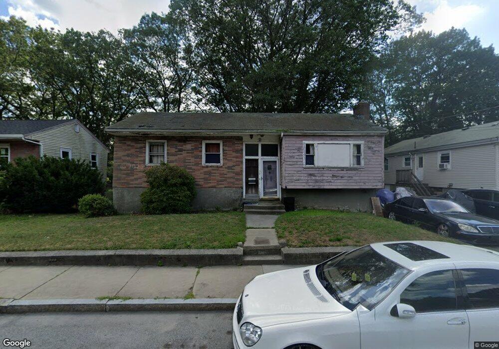
34 Messinger St Mattapan, MA 02126
Southern Mattapan NeighborhoodEstimated Value: $396,000 - $565,000
2
Beds
2
Baths
1,107
Sq Ft
$445/Sq Ft
Est. Value
About This Home
This home is located at 34 Messinger St, Mattapan, MA 02126 and is currently estimated at $492,871, approximately $445 per square foot. 34 Messinger St is a home located in Suffolk County with nearby schools including KIPP Academy Boston Charter School and Berea Seventh-day Adventist Academy.
Ownership History
Date
Name
Owned For
Owner Type
Purchase Details
Closed on
Jan 4, 2008
Sold by
Hart Joseph L
Bought by
Fisher Earl C
Current Estimated Value
Home Financials for this Owner
Home Financials are based on the most recent Mortgage that was taken out on this home.
Original Mortgage
$196,000
Outstanding Balance
$124,427
Interest Rate
6.27%
Mortgage Type
Purchase Money Mortgage
Estimated Equity
$368,444
Create a Home Valuation Report for This Property
The Home Valuation Report is an in-depth analysis detailing your home's value as well as a comparison with similar homes in the area
Home Values in the Area
Average Home Value in this Area
Purchase History
| Date | Buyer | Sale Price | Title Company |
|---|---|---|---|
| Fisher Earl C | $196,000 | -- |
Source: Public Records
Mortgage History
| Date | Status | Borrower | Loan Amount |
|---|---|---|---|
| Open | Fisher Earl C | $196,000 |
Source: Public Records
Tax History Compared to Growth
Tax History
| Year | Tax Paid | Tax Assessment Tax Assessment Total Assessment is a certain percentage of the fair market value that is determined by local assessors to be the total taxable value of land and additions on the property. | Land | Improvement |
|---|---|---|---|---|
| 2025 | $3,726 | $321,800 | $183,900 | $137,900 |
| 2024 | $3,363 | $308,500 | $180,000 | $128,500 |
| 2023 | $3,154 | $293,700 | $171,300 | $122,400 |
| 2022 | $2,959 | $272,000 | $158,700 | $113,300 |
| 2021 | $2,705 | $253,500 | $151,100 | $102,400 |
| 2020 | $2,130 | $201,700 | $149,800 | $51,900 |
| 2019 | $2,045 | $194,000 | $112,300 | $81,700 |
| 2018 | $1,900 | $181,300 | $112,300 | $69,000 |
| 2017 | $1,761 | $166,300 | $112,300 | $54,000 |
| 2016 | $1,663 | $151,200 | $112,300 | $38,900 |
| 2015 | $1,666 | $137,600 | $105,900 | $31,700 |
| 2014 | $1,588 | $126,200 | $105,900 | $20,300 |
Source: Public Records
Map
Nearby Homes
- 95 Woodhaven St
- 10 Brockton St
- 770 Cummins Hwy Unit 1
- 770 Cummins Hwy Unit 22
- 20 Monterey Ave
- 100 Itasca St
- 60 and 64 Monterey Ave
- 116 Almont St
- 231 Itasca St
- 1465 Blue Hill Ave
- 839-843 Cummins Hwy
- 12 Hiawatha Rd
- 14-14R Kennebec St
- 49 Fottler Rd
- 58 Mattapan St
- 45 1st Ave Unit 111
- 10 Itasca St
- 4 Crossman St Unit 4
- 710 Walk Hill St
- 48-50 Rockdale St
- 38 Messinger St
- 30 Messinger St
- 61 Hallowell St
- 61 Hallowell St Unit 1
- 42 Messinger St
- 70 Favre St
- 66 Favre St
- 66 Favre St Unit 1
- 46 Messinger St
- 56 Hallowell St
- 55 Hallowell St
- 33 Messinger St
- 29 Messinger St
- 25 Messinger St
- 37 Messinger St
- 62 Favre St
- 62 Favre St Unit 2
- 62 Favre St Unit 1
- 51 Hallowell St
- 50 Messinger St