34 Michael Dr Rutland, MA 01543
Estimated Value: $611,257 - $706,000
4
Beds
3
Baths
2,128
Sq Ft
$303/Sq Ft
Est. Value
About This Home
This home is located at 34 Michael Dr, Rutland, MA 01543 and is currently estimated at $645,814, approximately $303 per square foot. 34 Michael Dr is a home with nearby schools including Wachusett Regional High School.
Ownership History
Date
Name
Owned For
Owner Type
Purchase Details
Closed on
Dec 4, 2015
Sold by
Blair Enterprises Inc
Bought by
Kirton Todd D and Kirton Mary
Current Estimated Value
Home Financials for this Owner
Home Financials are based on the most recent Mortgage that was taken out on this home.
Original Mortgage
$317,073
Outstanding Balance
$253,726
Interest Rate
3.83%
Mortgage Type
New Conventional
Estimated Equity
$392,088
Create a Home Valuation Report for This Property
The Home Valuation Report is an in-depth analysis detailing your home's value as well as a comparison with similar homes in the area
Home Values in the Area
Average Home Value in this Area
Purchase History
| Date | Buyer | Sale Price | Title Company |
|---|---|---|---|
| Kirton Todd D | $333,761 | -- |
Source: Public Records
Mortgage History
| Date | Status | Borrower | Loan Amount |
|---|---|---|---|
| Open | Kirton Todd D | $317,073 |
Source: Public Records
Tax History
| Year | Tax Paid | Tax Assessment Tax Assessment Total Assessment is a certain percentage of the fair market value that is determined by local assessors to be the total taxable value of land and additions on the property. | Land | Improvement |
|---|---|---|---|---|
| 2025 | $7,477 | $525,100 | $124,200 | $400,900 |
| 2024 | $7,231 | $487,600 | $116,100 | $371,500 |
| 2023 | $6,628 | $483,100 | $109,500 | $373,600 |
| 2022 | $6,187 | $391,800 | $90,800 | $301,000 |
| 2021 | $6,167 | $369,300 | $98,500 | $270,800 |
| 2020 | $6,532 | $370,900 | $88,100 | $282,800 |
| 2019 | $6,408 | $358,200 | $76,200 | $282,000 |
| 2018 | $6,032 | $332,700 | $69,300 | $263,400 |
| 2017 | $5,980 | $326,400 | $63,000 | $263,400 |
| 2016 | $1,053 | $60,600 | $60,600 | $0 |
| 2015 | $1,070 | $60,600 | $60,600 | $0 |
| 2014 | $1,037 | $60,600 | $60,600 | $0 |
Source: Public Records
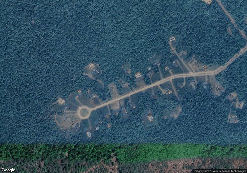
Map
Nearby Homes
- 139 E County Rd Unit 139
- 147 E County Rd Unit 149
- 569 E County Rd
- 14 Grizzly Dr
- 35 Brintnal Dr
- 8 Vista Cir
- 14 Richards Ave
- 5 Miles Rd
- 39 Laurelwood Rd
- 22 Village Way
- 20 Fernwood Dr
- 27 Lewis St
- 11 Lewis St
- 21 Lewis St
- 12 Lewis St
- 6 Lewis St
- 28 Forest Hill Dr
- 5 Karen Way
- 85 Maple Ave Unit A
- 132 Fidelity Dr Unit 61
Your Personal Tour Guide
Ask me questions while you tour the home.