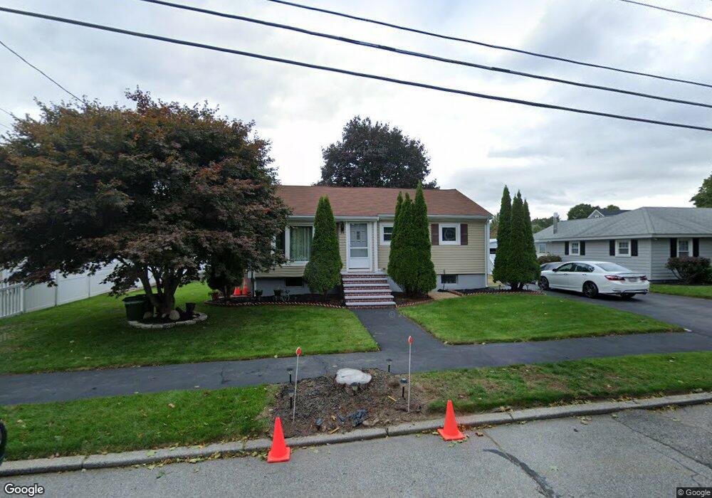
34 Miriam Rd Waltham, MA 02451
North Waltham NeighborhoodEstimated Value: $751,000 - $832,000
3
Beds
1
Bath
1,400
Sq Ft
$567/Sq Ft
Est. Value
About This Home
This home is located at 34 Miriam Rd, Waltham, MA 02451 and is currently estimated at $794,418, approximately $567 per square foot. 34 Miriam Rd is a home located in Middlesex County with nearby schools including Douglas Macarthur Elementary School, John F Kennedy Middle School, and Waltham Sr High School.
Ownership History
Date
Name
Owned For
Owner Type
Purchase Details
Closed on
Feb 28, 1990
Sold by
Lord Marian M
Bought by
Arevalo Luis J
Current Estimated Value
Home Financials for this Owner
Home Financials are based on the most recent Mortgage that was taken out on this home.
Original Mortgage
$160,200
Interest Rate
9.78%
Mortgage Type
Purchase Money Mortgage
Create a Home Valuation Report for This Property
The Home Valuation Report is an in-depth analysis detailing your home's value as well as a comparison with similar homes in the area
Home Values in the Area
Average Home Value in this Area
Purchase History
We collect this data history from publicly available records. To have your information removed, we recommend requesting removal directly through your county’s website.
| Date | Buyer | Sale Price | Title Company |
|---|---|---|---|
| Arevalo Luis J | $178,000 | -- |
Source: Public Records
Mortgage History
We collect this data history from publicly available records. To have your information removed, we recommend requesting removal directly through your county’s website.
| Date | Status | Borrower | Loan Amount |
|---|---|---|---|
| Open | Arevalo Luis J | $141,100 | |
| Closed | Arevalo Luis J | $132,000 | |
| Closed | Arevalo Luis J | $52,427 | |
| Closed | Arevalo Luis J | $160,200 |
Source: Public Records
Tax History
| Year | Tax Paid | Tax Assessment Tax Assessment Total Assessment is a certain percentage of the fair market value that is determined by local assessors to be the total taxable value of land and additions on the property. | Land | Improvement |
|---|---|---|---|---|
| 2025 | $6,760 | $688,400 | $466,900 | $221,500 |
| 2024 | $6,411 | $665,000 | $446,300 | $218,700 |
| 2023 | $6,334 | $613,800 | $404,900 | $208,900 |
| 2022 | $6,284 | $564,100 | $363,600 | $200,500 |
| 2021 | $6,269 | $553,800 | $363,600 | $190,200 |
| 2020 | $6,133 | $513,200 | $338,800 | $174,400 |
| 2019 | $6,141 | $485,100 | $334,700 | $150,400 |
| 2018 | $5,577 | $442,300 | $309,900 | $132,400 |
| 2017 | $5,192 | $413,400 | $281,000 | $132,400 |
| 2016 | $4,857 | $396,800 | $264,400 | $132,400 |
| 2015 | $4,680 | $356,400 | $231,400 | $125,000 |
Source: Public Records
Map
Nearby Homes
- 89 Hardy Pond Rd
- 24 Barberry Rd
- 64 Hillcrest Rd
- 985 Trapelo Rd Unit 23
- 53 Hiawatha Ave
- 44 Lakeview Terrace
- 197 Smith St
- 236 Lake St
- 320 Concord Ave
- 19 April Ln Unit 19
- 195 College Farm Rd
- 99 Princeton Ave
- 780 Waltham St
- 32 Bishops Forest Dr
- 20 Blossom St
- 20 College Farm Rd
- 9 Woodcliffe Rd
- 49 Bishops Forest Dr Unit 49
- 5 Walnut St
- 28 Blossom St
Your Personal Tour Guide
Ask me questions while you tour the home.