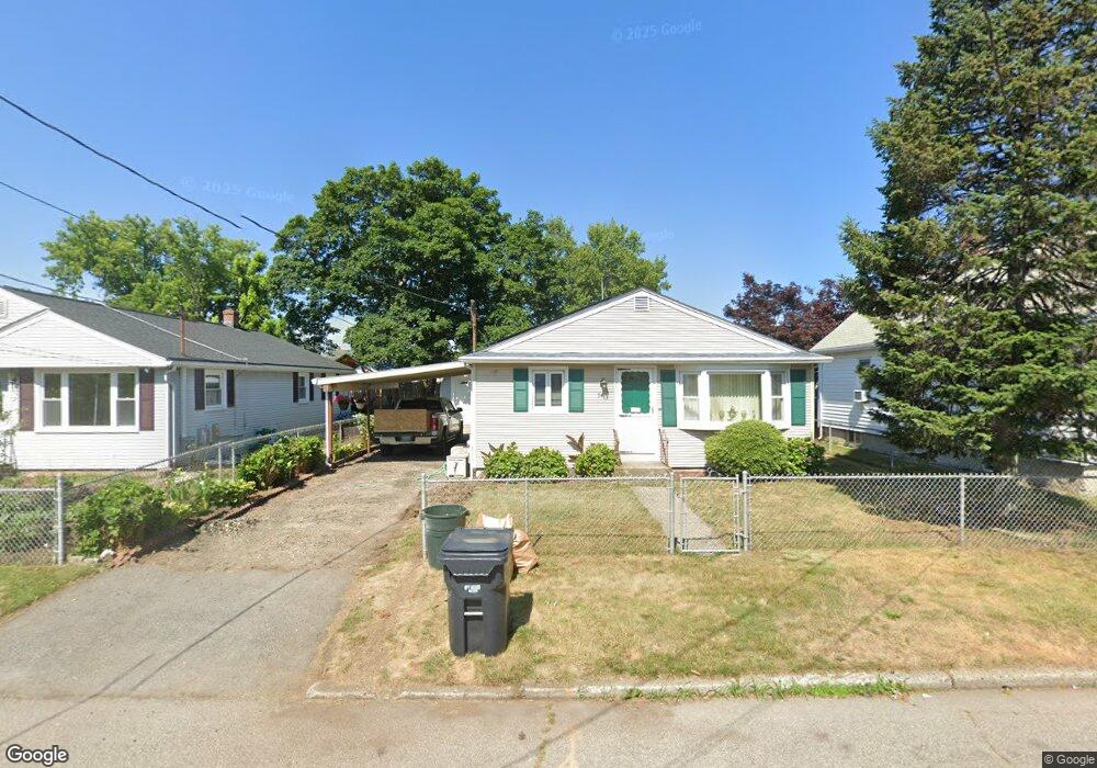
34 Monroe St Pawtucket, RI 02861
Darlington NeighborhoodEstimated Value: $360,000 - $406,000
3
Beds
2
Baths
1,888
Sq Ft
$204/Sq Ft
Est. Value
About This Home
This home is located at 34 Monroe St, Pawtucket, RI 02861 and is currently estimated at $385,853, approximately $204 per square foot. 34 Monroe St is a home located in Providence County with nearby schools including St Cecilia School and Saint Teresa Catholic Elementary School.
Ownership History
Date
Name
Owned For
Owner Type
Purchase Details
Closed on
Jun 9, 2000
Sold by
Deschenes Paul J and Deschenes Joyce C
Bought by
Gamboa John G and Gamboa Eunice A
Current Estimated Value
Home Financials for this Owner
Home Financials are based on the most recent Mortgage that was taken out on this home.
Original Mortgage
$110,000
Interest Rate
8.12%
Purchase Details
Closed on
Jul 8, 1992
Sold by
Uth Chamroeun
Bought by
Deschenes Paul J
Create a Home Valuation Report for This Property
The Home Valuation Report is an in-depth analysis detailing your home's value as well as a comparison with similar homes in the area
Home Values in the Area
Average Home Value in this Area
Purchase History
| Date | Buyer | Sale Price | Title Company |
|---|---|---|---|
| Gamboa John G | $124,000 | -- | |
| Deschenes Paul J | $95,000 | -- |
Source: Public Records
Mortgage History
| Date | Status | Borrower | Loan Amount |
|---|---|---|---|
| Open | Deschenes Paul J | $32,000 | |
| Open | Deschenes Paul J | $115,000 | |
| Closed | Deschenes Paul J | $107,000 | |
| Closed | Deschenes Paul J | $110,000 |
Source: Public Records
Tax History
| Year | Tax Paid | Tax Assessment Tax Assessment Total Assessment is a certain percentage of the fair market value that is determined by local assessors to be the total taxable value of land and additions on the property. | Land | Improvement |
|---|---|---|---|---|
| 2025 | $4,130 | $314,100 | $122,900 | $191,200 |
| 2024 | $3,876 | $314,100 | $122,900 | $191,200 |
| 2023 | $4,038 | $238,400 | $84,900 | $153,500 |
| 2022 | $3,953 | $238,400 | $84,900 | $153,500 |
| 2021 | $3,953 | $238,400 | $84,900 | $153,500 |
| 2020 | $3,959 | $189,500 | $77,500 | $112,000 |
| 2019 | $3,959 | $189,500 | $77,500 | $112,000 |
| 2018 | $3,815 | $189,500 | $77,500 | $112,000 |
| 2017 | $3,538 | $155,700 | $58,500 | $97,200 |
| 2016 | $3,408 | $155,700 | $58,500 | $97,200 |
| 2015 | $3,408 | $155,700 | $58,500 | $97,200 |
| 2014 | $3,134 | $135,900 | $52,700 | $83,200 |
Source: Public Records
Map
Nearby Homes
- 28 Monroe St
- 763 Cottage St
- 40 Monroe St
- 24 Monroe St
- 767 Cottage St
- 27 Monroe St
- 16 Monroe St
- 33 Monroe St
- 39 Monroe St
- 1495 Newport Ave Unit 1499
- 1495 Newport Ave
- 41 Monroe St
- 14 Monroe St
- 15 Monroe St
- 51 Monroe St
- 1487 Newport Ave
- 542 Grand Ave
- 22 Cushman St
- 1520 Newport Ave Unit 2
- 1520 Newport Ave
Your Personal Tour Guide
Ask me questions while you tour the home.