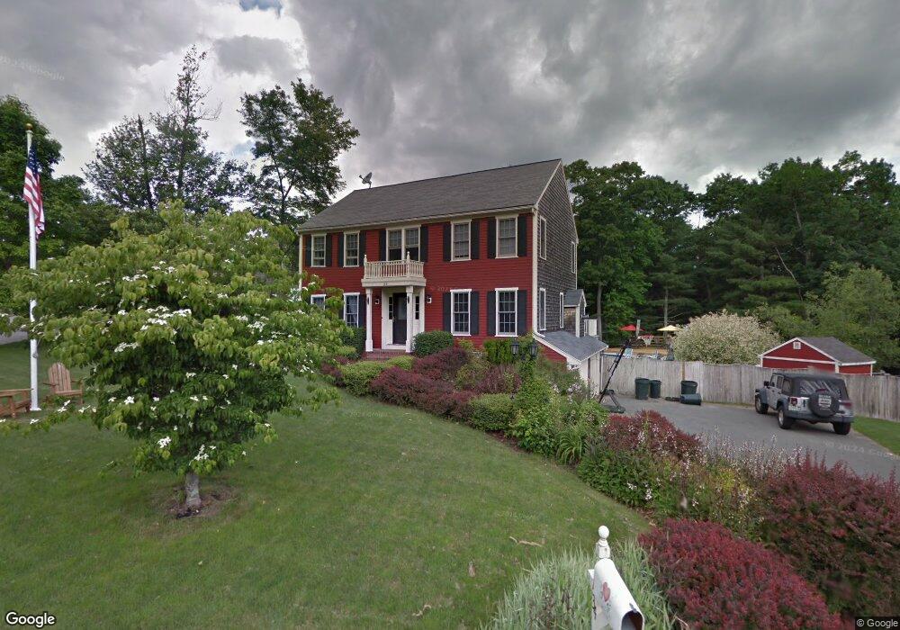
34 Morningside Dr Rockland, MA 02370
Estimated Value: $695,276 - $776,000
4
Beds
2
Baths
1,872
Sq Ft
$395/Sq Ft
Est. Value
About This Home
This home is located at 34 Morningside Dr, Rockland, MA 02370 and is currently estimated at $739,069, approximately $394 per square foot. 34 Morningside Dr is a home located in Plymouth County with nearby schools including Rockland Senior High School, Calvary Chapel Academy, and St Bridget School.
Ownership History
Date
Name
Owned For
Owner Type
Purchase Details
Closed on
Sep 29, 1999
Sold by
Deacon Reed Rt
Bought by
Daly Blaise P and Daly Kimberly J
Current Estimated Value
Create a Home Valuation Report for This Property
The Home Valuation Report is an in-depth analysis detailing your home's value as well as a comparison with similar homes in the area
Home Values in the Area
Average Home Value in this Area
Purchase History
| Date | Buyer | Sale Price | Title Company |
|---|---|---|---|
| Daly Blaise P | $239,957 | -- |
Source: Public Records
Mortgage History
| Date | Status | Borrower | Loan Amount |
|---|---|---|---|
| Open | Daly Blaise P | $391,282 | |
| Closed | Daly Blaise P | $385,700 |
Source: Public Records
Tax History
| Year | Tax Paid | Tax Assessment Tax Assessment Total Assessment is a certain percentage of the fair market value that is determined by local assessors to be the total taxable value of land and additions on the property. | Land | Improvement |
|---|---|---|---|---|
| 2025 | $8,857 | $647,900 | $242,700 | $405,200 |
| 2024 | $8,602 | $611,800 | $229,000 | $382,800 |
| 2023 | $8,770 | $576,200 | $220,000 | $356,200 |
| 2022 | $8,414 | $502,300 | $191,300 | $311,000 |
| 2021 | $5,917 | $470,300 | $181,800 | $288,500 |
| 2020 | $7,905 | $451,700 | $173,200 | $278,500 |
| 2019 | $5,357 | $434,300 | $165,000 | $269,300 |
| 2018 | $7,795 | $427,800 | $186,500 | $241,300 |
| 2017 | $4,797 | $407,800 | $186,500 | $221,300 |
| 2016 | $7,300 | $394,800 | $179,300 | $215,500 |
| 2015 | $6,982 | $366,900 | $167,600 | $199,300 |
| 2014 | $6,641 | $362,100 | $164,300 | $197,800 |
Source: Public Records
Map
Nearby Homes
- 12 Reed Bent Rd
- 10 Birch Bottom Cir
- 5 Alpine St
- 7 Hayford Trail Unit 12
- 17 Hayford Trail Unit 12
- 10 Proud Foot Way
- 41 Winter Cir
- 643 Summer St
- 810 Brookline Way
- 696 Summer St
- 724 Whitman St
- 170 Pleasant St
- 191 Summer St
- 5 Pat Rose Way
- 214 Winter St
- 127 King St
- 74 Benson St
- 291 Raynor Ave
- 608 Plymouth St
- 75 School St
- 32 Morningside Dr
- 2 Franklin Hunt Rd
- 30 Morningside Dr
- 1 Franklin Hunt Rd
- 4 Franklin Hunt Rd
- 38 Morningside Dr
- 28 Morningside Dr
- 3 Franklin Hunt Rd
- 6 Franklin Hunt Rd
- 40 Morningside Dr
- 7 Franklin Hunt Rd
- 2R Satucket Rd
- 41 Morningside Dr
- 4 Satucket Rd
- 2 Satucket Rd
- 42 Morningside Dr
- 8 Franklin Hunt Rd
- 8 Satucket Rd
- 9 Franklin Hunt Rd
- 43 Morningside Dr
Your Personal Tour Guide
Ask me questions while you tour the home.